Agate in Sioux County, Nebraska — The American Midwest (Upper Plains)
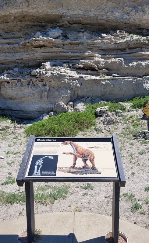
Chalicotheres
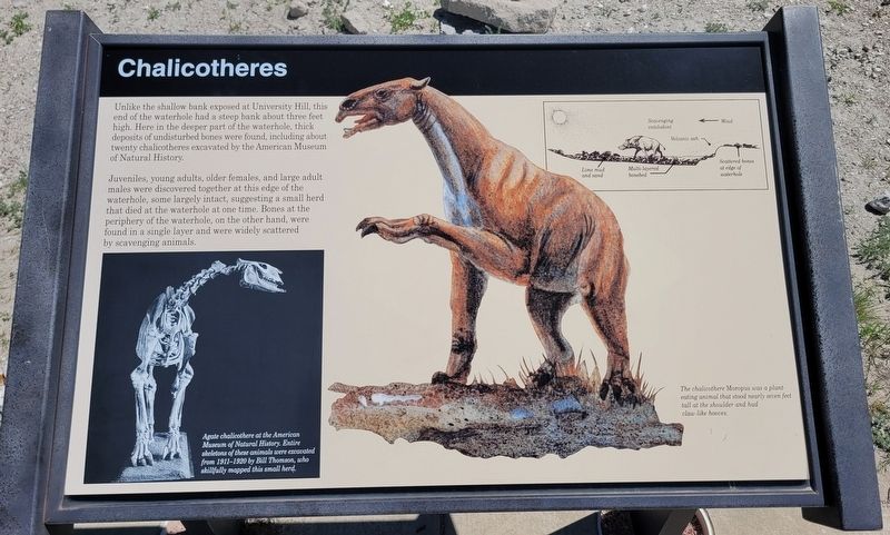
Juveniles, young adults, older females, and large adult males were discovered together at this edge of the waterhole, some largely intact, suggesting a small herd that died at the waterhole at one time. Bones at the periphery of the waterhole, on the other hand, were found in a single layer and were widely scattered by scavenging animals.
Captions
Lower Left: Agate chalicothere at the American Museum of Natural History. Entire skeletons of these animals were excavated from 1911-1920 by Bill Thomson, who skillfully mapped this small herd.
Upper Right: Scavenging entelodont diagram
Lower Right: The chalicothere Moropus was a plant eating animal that stood nearly seven feet tall at the shoulder and had claw-like hooves.
Erected by Agate Fossil Beds National Monument, National Park Service.
Topics. This historical marker is listed in these topic lists: Paleontology • Parks & Recreational Areas. A significant historical year for this entry is 1911.
Location. 42° 24.967′ N, 103° 43.706′ W. Marker is in Agate, Nebraska, in Sioux County. Marker can be reached from River Road, 3.2 miles east of State Highway 29. The marker is located along the 2 mile Fossil Hill loop trail. Touch for map. Marker is at or near this postal address: 301 River Road, Harrison NE 69346, United States of America. Touch for directions.
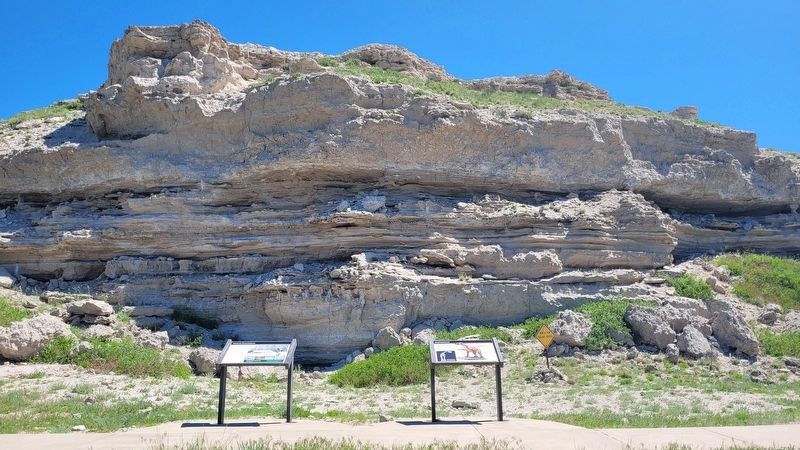
Other nearby markers. At least 8 other markers are within walking distance of this marker. Historic Excavations (here, next to this marker); Menoceras (a few steps from this marker); Footprints in the Mud (about 500 feet away, measured in a direct line); Beardog (about 600 feet away); An Ancient Waterhole (about 600 feet away); Quarry A (about 600 feet away); Exploring the Niobrara (approx. half a mile away); Fossil Hills Trail (approx. 0.7 miles away). Touch for a list and map of all markers in Agate.
More about this marker. The Agate Fossil Beds National Monument is a fee-free National Park Service site.
Also see . . .
1. History & Culture. Agate Fossil Beds National Monument (Submitted on July 15, 2022, by James Hulse of Medina, Texas.)
2. Chalicothere. Wikipedia (Submitted on July 16, 2022, by James Hulse of Medina, Texas.)
Credits. This page was last revised on July 16, 2022. It was originally submitted on July 15, 2022, by James Hulse of Medina, Texas. This page has been viewed 103 times since then and 16 times this year. Photos: 1, 2, 3, 4. submitted on July 16, 2022, by James Hulse of Medina, Texas.


