Near Independence in Cuyahoga County, Ohio — The American Midwest (Great Lakes)
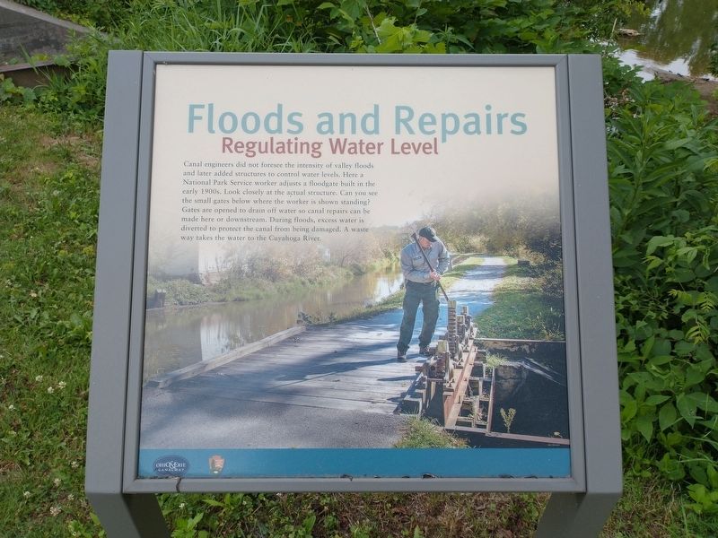
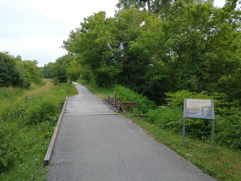
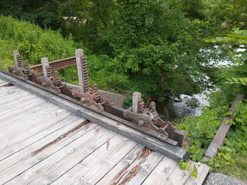
Floods and Repairs
Regulating Water Level
Erected by U.S. Department of the Interior, National Park Service, Cuyahoga Valley National Park.
Topics and series. This historical marker is listed in this topic list: Waterways & Vessels. In addition, it is included in the Ohio and Erie Canal series list.
Location. 41° 21.393′ N, 81° 35.817′ W. Marker is near Independence, Ohio, in Cuyahoga County. Marker is on Ohio & Erie Canal Towpath Trail, on the right when traveling south. Marker located within the Cuyahoga Valley National Park. Touch for map. Marker is in this post office area: Independence OH 44131, United States of America. Touch for directions.
Other nearby markers. At least 8 other markers are within 2 miles of this marker, measured as the crow flies. Lock 37 (a few steps from this marker); Alexander / Wilson Mill (within shouting distance of this marker); Frazee Family (approx. 0.4 miles away); Symbol of Success (approx. 0.4 miles away); Mule Power (approx. 1.4 miles away); Hell's Half Acre (approx. 1.4 miles away); Lock 38 (approx. 1.4 miles away); Valley View Veterans Honor Roll (approx. 1.7 miles away). Touch for a list and map of all markers in Independence.
Credits. This page was last revised on July 16, 2022. It was originally submitted on July 16, 2022, by Tom Bosse of Jefferson City, Tennessee. This page has been viewed 81 times since then and 9 times this year. Photos: 1, 2, 3. submitted on July 16, 2022, by Tom Bosse of Jefferson City, Tennessee. • Bill Pfingsten was the editor who published this page.


