Near Independence in Cuyahoga County, Ohio — The American Midwest (Great Lakes)
Alexander
⎯⎯⎯
Wilson Mill
Adapting with the Times

Photographed by Tom Bosse, July 2, 2022
1. Alexander / Wilson Mill Marker
The Wilson family bought the mill about 1900 and focused on milling feed for farm animals. They used waterpower until 1970, when they switched to electric machinery. Now their business consists mostly of animal food and fertilizer already bagged by suppliers.
Caption
Thomas G. Wilson at work in the mill in 1940. Listen to his grandson “Skip” on the nearby audio station.
Boat crew families stop at Alexander Mill during a Sunday excursion in 1890. When the leaves are off the trees, the historic mill is easier to see across the canal.
Erected by U.S. Department of the Interior, National Park Service, Cuyahoga Valley National Park.
Topics and series. This historical marker is listed in these topic lists: Industry & Commerce • Waterways & Vessels. In addition, it is
this page online
Location. 41° 21.377′ N, 81° 35.805′ W. Marker is near Independence, Ohio, in Cuyahoga County. It is on Ohio & Erie Canal Towpath Trail, on the left when traveling south. Marker located within the Cuyahoga Valley National Park. Touch for map. Marker is in this post office area: Independence OH 44131, United States of America. Touch for directions.

Regionally, this marker is in Greater Cleveland, on the Lake Erie Shore, and in the Western Reserve. It is also in the American Midwest. Globally, it is in North America, on the Great Lakes, in the Western Hemisphere, in the Western World, and in the Anglosphere. Historically, it finds itself in what was once the Haudenosaunee (Iroquois) Confederacy, the territory of the Mississippian Culture, and the Northwest Territory.
Other nearby markers. At least 8 other markers are within 2 miles of this marker, measured as the crow flies: Floods and Repairs (within shouting distance of this marker); Lock 37 (within shouting distance of this marker); Frazee Family (approx. 0.3 miles away); Symbol of Success

Photographed by Tom Bosse, July 2, 2022
2. Alexander / Wilson Mill Marker

Photographed by Tom Bosse, July 2, 2022
3. Alexander / Wilson Mill Marker
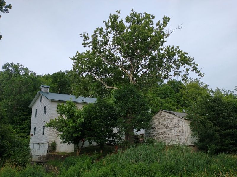
Photographed by Tom Bosse, July 2, 2022
4. Alexander / Wilson Mill (Back)
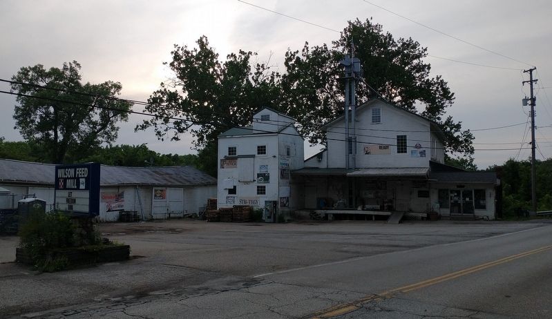
Photographed by Tom Bosse, July 2, 2022
5. Alexander / Wilson Mill
Credits. This page was last revised on July 16, 2022. It was originally submitted on July 16, 2022, by Tom Bosse of Jefferson City, Tennessee. This page has been viewed 361 times since then and 29 times this year. Photos: 1, 2, 3, 4, 5. submitted on July 16, 2022, by Tom Bosse of Jefferson City, Tennessee. • Bill Pfingsten was the editor who published this page.
