Boston in Summit County, Ohio — The American Midwest (Great Lakes)
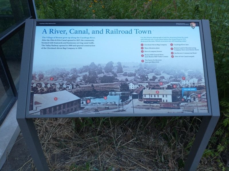
A River, Canal, and Railroad Town
Photographed by Tom Bosse, July 2, 2022
1. A River, Canal, and Railroad Town Marker
Caption
Use this historic photograph to look for structures from the canal and railroad eras. It was taken before the Great Flood of 1913 destroyed the dam. Which structures are still standing today?
1) Cleveland-Akron Bag Company
2) Water filtration plant
3) Row of company houses
4) Boston Mill General Store (now Boston Mill Visitor Center)
5) Two barns for the store (now pavilion area)
6) Cuyahoga River dam
7) Boston Land and Manufacturing Company Store (now Boston store)
8) Jim Brown’s Commercial Hotel
9) Ohio & Erie Canal towpath
Erected by U.S. Department of the Interior, National Park Service, Cuyahoga Valley National Park.
Topics and series. This historical marker is listed in these topic lists: Industry & Commerce • Railroads & Streetcars • Settlements & Settlers • Waterways & Vessels. In addition, it
this page online
Location. 41° 15.753′ N, 81° 33.613′ W. Marker is in Boston, Ohio, in Summit County. It can be reached from Boston Mills Road, on the right when traveling east. Marker is located at the Boston Mill Visitor Center in the Cuyahoga Valley National Park. Touch for map. Marker is in this post office area: Peninsula OH 44264, United States of America. Touch for directions.

Regionally, this marker is in Greater Cleveland and in the Western Reserve. It is also in the American Midwest. Globally, it is in North America, the Western Hemisphere, the Western World, and the Anglosphere. Historically, it finds itself in what was once the Haudenosaunee (Iroquois) Confederacy, the territory of the Mississippian Culture, and the Northwest Territory.
Other nearby markers. At least 8 other markers are within walking distance of this marker: A River Renewed (a few steps from this marker); Boston Mills Road Bridge (a few steps from this marker); Rail and Industry Shape the Valley (within shouting distance of this marker); Protecting Cuyahoga Valley
Photographed by Tom Bosse, July 2, 2022
2. A River, Canal, and Railroad Town Marker
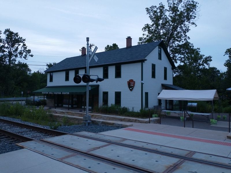
Marker on right under canopy.
Credits. This page was last revised on July 17, 2022. It was originally submitted on July 16, 2022, by Tom Bosse of Jefferson City, Tennessee. This page has been viewed 436 times since then and 11 times this year. Photos: 1, 2. submitted on July 16, 2022, by Tom Bosse of Jefferson City, Tennessee. • Bill Pfingsten was the editor who published this page.
