Lowellville in Mahoning County, Ohio — The American Midwest (Great Lakes)
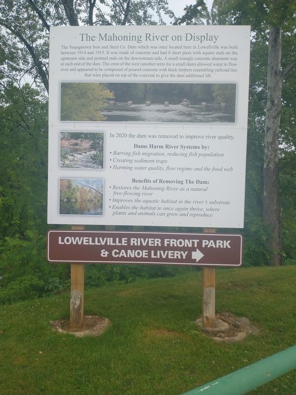
The Mahoning River on Display
The Youngstown Iron and Steel Co. Dam which was once located here in Lowellville was built between 1914 and 1915. It was made of concrete and had 8 short piers with square ends on the upstream side and pointed ends on the downstream side. A small triangle concrete abutment was at each end of the dam. The crest of the weir (another term for a small dam) allowed water to flow over and appeared to be composed of poured concrete with thick timbers resembling railroad ties that were placed on top of the concrete to give the dam additional lift.
In 2020 the dam was removed to improve river quality.
Dams Harm River Systems by:
• Barring fish migration, reducing fish population
• Creating sediment traps
• Harming water quality, flow regime and the food web
Benefits of Removing The Dam:
• Restores the Mahoning River as a natural free-flowing river
• Improves the aquatic habitat in the river's substrate
• Enables the habitat to once again thrive, where plants and animals can grow and reproduce
Topics. This historical marker is listed in these topic lists: Industry & Commerce • Waterways & Vessels. A significant historical year for this entry is 1914.
Location. 41° 2.185′ N, 80° 32.176′ W. Marker is in Lowellville, Ohio, in Mahoning County. Marker is at the intersection of West Water Street and Washington Street, on the left when traveling west on West Water Street. Touch for map. Marker is at or near this postal address: 42 W Water St, Lowellville OH 44436, United States of America. Touch for directions.
Other nearby markers. At least 8 other markers are within 2 miles of this marker, measured as the crow flies. Lowellville Veterans Park (about 400 feet away, measured in a direct line); Lowellville Veterans Memorial (about 500 feet away); Lowellville: The Valley's Flour and Grain Center (about 500 feet away); Our River: A Valuable Recorce for Lowellville's Early Industries (about 600 feet away); Lowellville's Industrial History (about 600 feet away); Dam Removal Project (about 600 feet away); Quaker Falls (approx. 1.7 miles away in Pennsylvania); Burton Powder Company (approx. 1.7 miles away in Pennsylvania). Touch for a list and map of all markers in Lowellville.
Credits. This page was last revised on July 20, 2022. It was originally submitted on July 17, 2022, by Craig Doda of Napoleon, Ohio. This page has been viewed 64 times since then and 14 times this year. Photo 1. submitted on July 17, 2022, by Craig Doda of Napoleon, Ohio. • Devry Becker Jones was the editor who published this page.
