
Peninsula in Summit County, Ohio — The American Midwest (Great Lakes)
Lock 29
Crossing above the River
Photographed by Tom Bosse, July 3, 2022
1. Lock 29 Marker
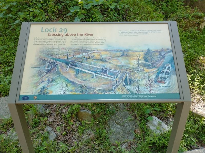
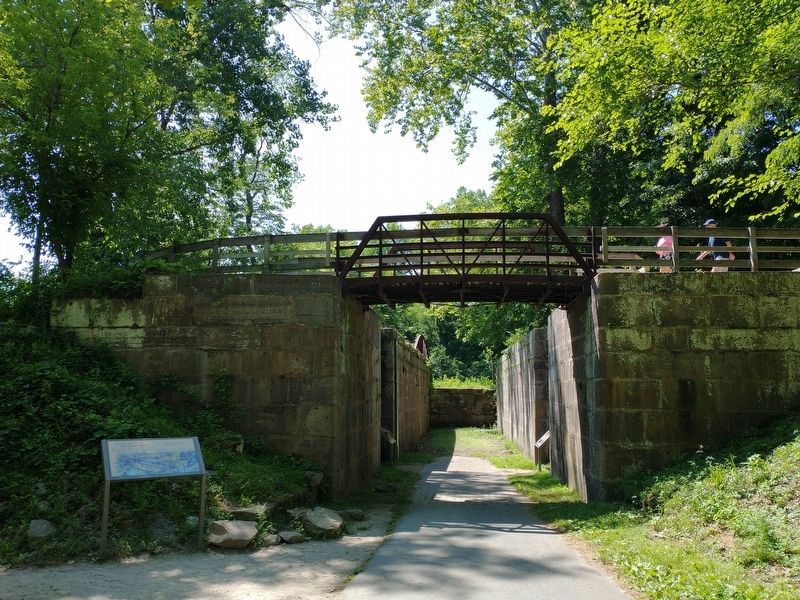
Lock 29 is one of many historical features of the Ohio & Erie canal, which linked Lake Erie with the Ohio River. The far end of Lock 29 was connected with an aqueduct that carried boats over the Cuyahoga River. The lock- aqueduct combination was a trouble spot. It was difficult to navigate because of curves at both ends. The aqueduct often leaked badly, and its walls tended to cave in each winter. Rebuilt in 1880, the lock was the only local one not repaired with concrete in the early 1900s. walk inside to view the nicely fitted sandstone blocks.
“All aqueducts…had forgivable dribbles in summer; but in winter…ice pushed out the sides of the wooden conduit, developing a curtain of icicles that often became a frozen waterfall.” Jack Gieck, Building the Canals: The Engineers.
[Caption:]
This illustration shows a boat that has just passed through the Peninsula Aqueduct and Lock 29 on its way to Cleveland. D. Web Brown, a longtime Peninsula resident, illustrated the scene from memory.
Erected by National Park Service, U.S. Department of the Interior.
Topics and series. This historical marker is listed in
this page online
Location. 41° 14.582′ N, 81° 33.029′ W. Marker is in Peninsula, Ohio, in Summit County. It can be reached from Mill Street West north of North Locust Street, on the left when traveling north. Marker can be accessed from the Canal Lock 29 Trailhead Parking Lot. Touch for map. Marker is at or near this postal address: 1650 Riverview Rd, Peninsula OH 44264, United States of America. Touch for directions.

Regionally, this marker is in Greater Cleveland and in the Western Reserve. It is also in the American Midwest. Globally, it is in North America, the Western Hemisphere, the Western World, and the Anglosphere. Historically, it finds itself in what was once the Haudenosaunee (Iroquois) Confederacy, the territory of the Mississippian Culture, and the Northwest Territory.
Other nearby markers. At least 8 other markers are within walking distance of this marker: Canal Builders (here, next to this marker); A Tight Fit (here, next to this marker); Welcome to Cuyahoga Valley National Park
Photographed by Tom Bosse, July 3, 2022
2. Lock 29 Marker
Related markers. Click here for a list of markers that are related to this marker.
Credits. This page was last revised on July 20, 2022. It was originally submitted on July 17, 2022, by Tom Bosse of Jefferson City, Tennessee. This page has been viewed 659 times since then and 82 times this year. Photos: 1, 2. submitted on July 17, 2022, by Tom Bosse of Jefferson City, Tennessee. • Devry Becker Jones was the editor who published this page.
