Peninsula in Summit County, Ohio — The American Midwest (Great Lakes)
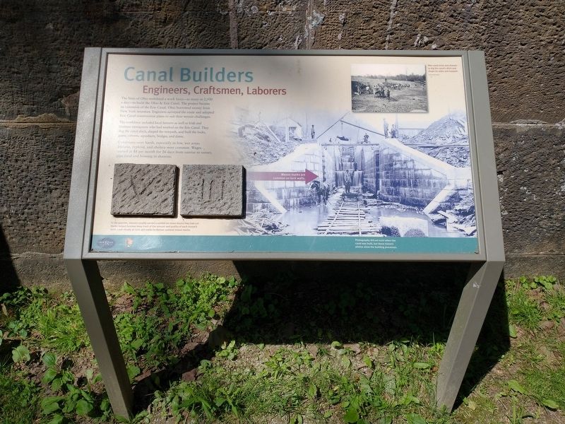
Canal Builders
Engineers, Craftsmen, Laborers
The State of Ohio mobilized a work force – as many as 2,000 a day – to build the Ohio & Erie Canal. The project became an extension of the Erie Canal. Ohio borrowed money from New York investors. Engineers surveyed the route and adapted Erie Canal construction plans to suit their terrain challenges.
The workforce included local farmers as well as Irish and German immigrants who had worked on the Erie Canal. They dug the canal ditch, shaped the towpath, and built the locks, gates, culverts, aqueducts, bridges, and dams.
Conditions were harsh, especially in low, wet areas. Malaria, typhoid, and cholera were common. Wages started at $8 per month for 26 days from sunrise to sunset, plus food and housing in shanties.
[Captions:]
Men used picks and shovels to dig the canal’s ditch and shape its sides and towpath.
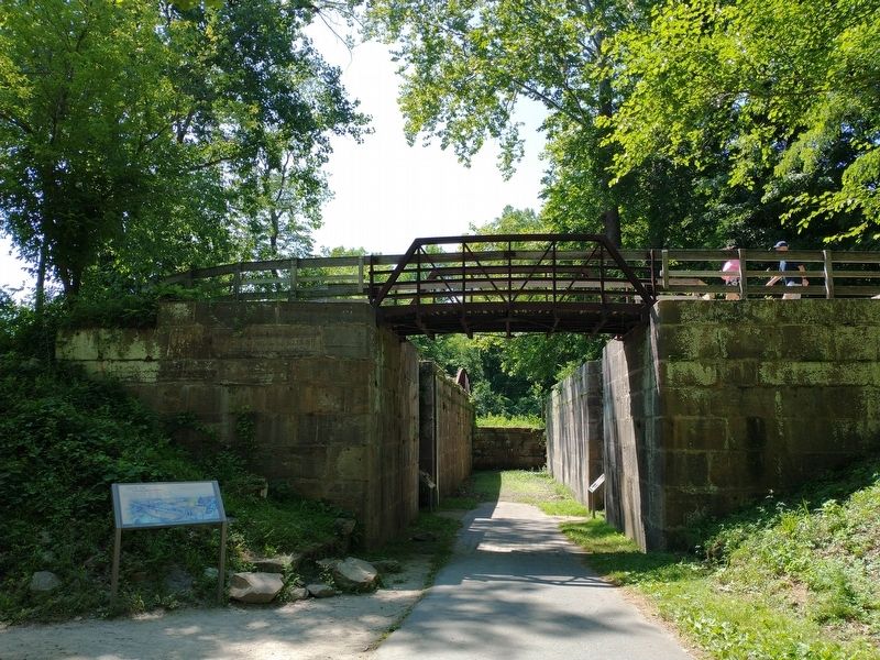
In the quarries, masons usually carved a symbol on stone blocks they had cut. Marks helped foremen keep track of the amount and quality of each mason’s work. Lock closely at Lock 29’s walls for Roman numeral mason marks.
Photography did not exist when the canal was built, but these historic photos show the building process.
Erected by National Park Service, U.S. Department of the Interior.
Topics and series. This historical marker is listed in these topic lists: Industry & Commerce • Waterways & Vessels. In addition, it is included in the Ohio and Erie Canal series list.
Location. 41° 14.583′ N, 81° 33.029′ W. Marker is in Peninsula, Ohio, in Summit County. Marker can be reached from Mill Street West near North Locust Street, on the left when traveling north. Marker can be accessed from the Canal Lock 29 Trailhead Parking Lot. Touch for map. Marker is at or near this postal address: 1650 Riverview Rd, Peninsula OH 44264, United States of America. Touch for directions.
Other nearby markers. At least 8 other markers are within walking distance of this marker. Lock 29 (here, next to this marker); A Tight Fit (here, next to this marker); Welcome to Cuyahoga Valley National Park (a few steps from this marker); Peninsula (a few steps from this marker); Gristmill (about 300 feet away, measured in a direct line); Village and River Linked (about 300 feet away); Welcome to Peninsula (about 400 feet away); Life on a Crooked River (about 500 feet away). Touch for a list and map of all markers in Peninsula.
Related markers. Click here for a list of markers that are related to this marker.
Credits. This page was last revised on July 20, 2022. It was originally submitted on July 17, 2022, by Tom Bosse of Jefferson City, Tennessee. This page has been viewed 99 times since then and 9 times this year. Photos: 1, 2. submitted on July 17, 2022, by Tom Bosse of Jefferson City, Tennessee. • Devry Becker Jones was the editor who published this page.

