Redwood City in San Mateo County, California — The American West (Pacific Coastal)
Redwood City Fire Department
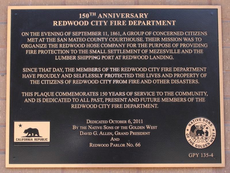
150th Anniversary
Photographed by Joseph Alvarado, July 17, 2022
1. Redwood City Fire Department Marker
Since that day, the members of the Redwood City Fire Department have proudly and selflessly protected the lives and property of the citizens of Redwood City from fire and other disasters.
This plaque commemorates 150 years of service to the community, and is dedicated to all past, present and future members of the Redwood City Fire Department.
Erected 2011 by Redwood Parlor No.66, Native Sons of the Golden West. (Marker Number GPY 135-4.)
Topics and series. This historical marker is listed in this topic list: Notable Events. In addition, it is included in the Native Sons/Daughters of the Golden West, and the Time Capsules series lists. A significant historical date for this entry is September 11, 1861.
Location. 37° 29.266′ N, 122° 13.631′ W. Marker is in Redwood City, California, in San Mateo County. It is on Marshall Street, on the right
this page online

Regionally, this marker is in the San Francisco Bay Area, in Silicon Valley, and on the Coast Ranges. It is also on the American Pacific Coast. Globally, it is in North America, on the Ring of Fire, on the Pacific Rim, in the Western Hemisphere, in the Western World, and in the Anglosphere. Historically, it finds itself in what was once New Spain and also Mexico’s Alta California.
Other nearby markers. At least 8 other markers are within walking distance of this marker: First Fire House (within shouting distance of this marker); The Pioneer Store (about 300 feet away, measured in a direct line); Diller-Chamberlain General Store / American Hotel/House / Sequoia Hotel / Bank of San Mateo County (about 500 feet away); Embarcadero Turning Basin Site (about 500 feet away); The Path of History (about 500 feet away); Eureka Corner (about 500 feet away); Former Site of Sequoia High School
Photographed by Joseph Alvarado, July 17, 2022
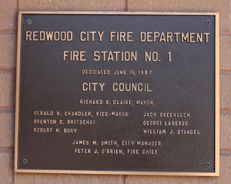
2. Marker to the left of the front door
Fire Station No. 1
Dedicated June 15, 1987
City Council
Richard S. Claire, Mayor • Gerald R. Chandler, Vice-Mayor • Brenton C. Britschgi • Robert H. Bury • Jack Greenalch • Georgi Laberg • William J. Stengel • James M. Smith, City Manager • Peter J. O'Brien, Fire Chief
Photographed by Joseph Alvarado, July 17, 2022
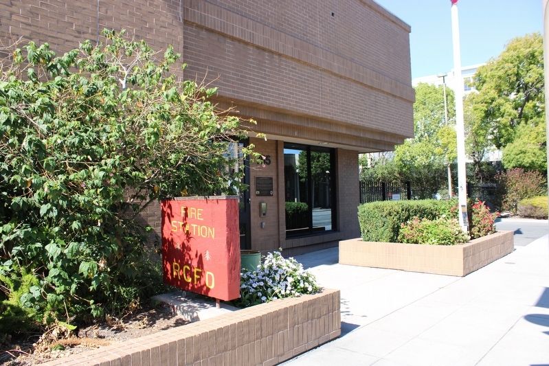
3. Redwood City Fire Department Marker
Photographed by Joseph Alvarado, July 17, 2022
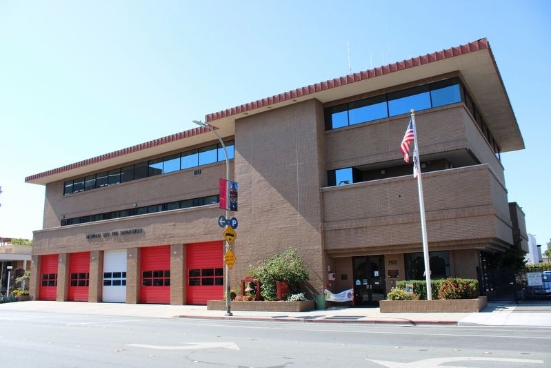
4. Redwood City Fire Department
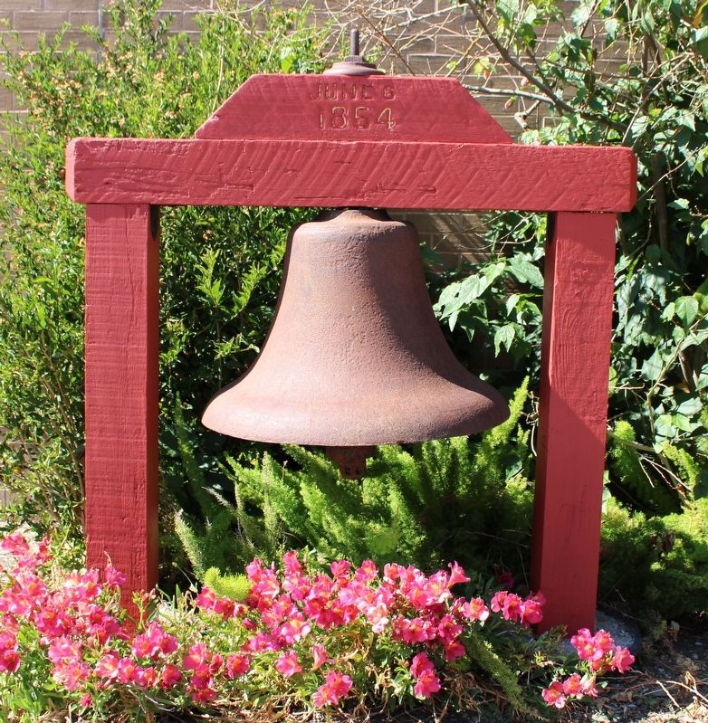
Photographed by Joseph Alvarado, July 17, 2022
5. Fire Bell
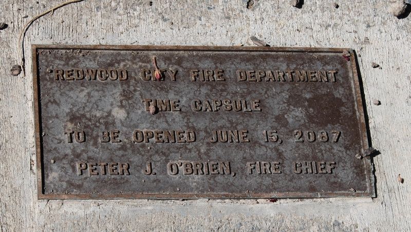
Photographed by Joseph Alvarado, July 17, 2022
6. Time capsule plaque behind the flagpole
Time Capsule
To be opened June 15, 2087
Peter J. O'Brien, Fire Chief
Credits. This page was last revised on July 20, 2022. It was originally submitted on July 18, 2022, by Joseph Alvarado of Livermore, California. This page has been viewed 407 times since then and 16 times this year. Photos: 1, 2, 3, 4, 5, 6. submitted on July 20, 2022, by Joseph Alvarado of Livermore, California. • Syd Whittle was the editor who published this page.
