Devils Tower in Crook County, Wyoming — The American West (Mountains)
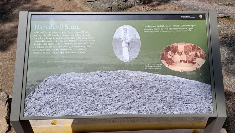
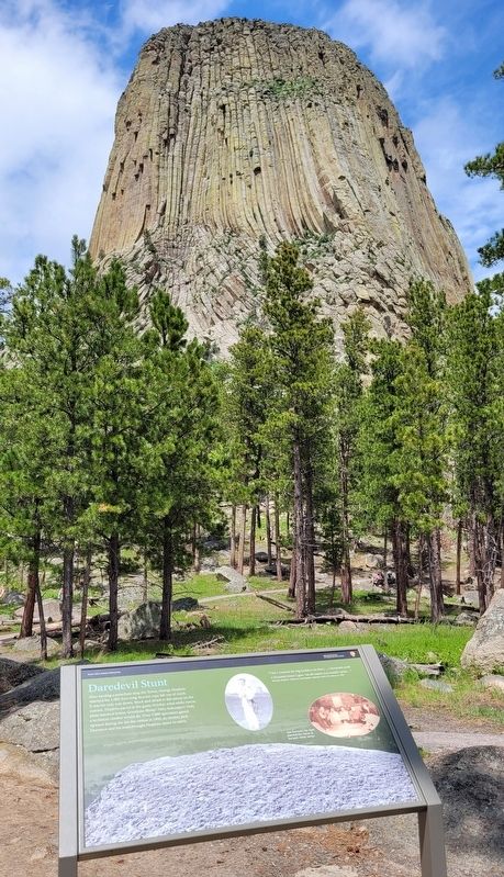
Daredevil Stunt
Captions
Upper Right: "I bet I counted the big boulders on that [....] mountain peak a thousand times! I gave 'em all names you couldn't print..." George Hopkins, joking to newspaper reporters after his rescue in 1941
Middle Right: Jack Durrance, far right, planned the rescue at the park visitor center.
Erected by Devils Tower National Monument - National Park Service.
Topics. This historical marker is listed in these topic lists: Entertainment • Parks & Recreational Areas. A significant historical year for this entry is 1941.
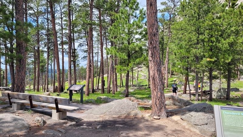
Location. 44° 35.338′ N, 104° 42.822′ W. Marker is in Devils Tower, Wyoming, in Crook County. Marker can be reached from Devils Tower National Monument Road (State Highway 110) 3½ miles west of State Highway 24. The marker is located along the Tower Trail. Touch for map. Marker is at or near this postal address: 340 WY-110, Devils Tower WY 82714, United States of America. Touch for directions.
Other nearby markers. At least 8 other markers are within walking distance of this marker. Many Meanings for Many People (a few steps from this marker); Reach for the Top (about 300 feet away, measured in a direct line); Bountiful Land (approx. 0.2 miles away); People of the Land (approx. 0.2 miles away); Buried Tower (approx. 0.2 miles away); How Did the Tower Form? (approx. ¼ mile away); Friends, Family, and Fun (approx. 0.3 miles away); Devils Tower ... the first National Monument (approx. 0.3 miles away). Touch for a list and map of all markers in Devils Tower.
More about this marker. The marker is located on the grounds of the Devil's Tower National Park which requires a small entrance fee to access.
Also see . . .
1. Devils Tower National Monument. (Submitted on July 22, 2022, by James Hulse of Medina, Texas.)
2. Parachutist George Hopkins. National Park Service (Submitted on July 22, 2022, by James Hulse of Medina, Texas.)
Credits. This page was last revised on July 22, 2022. It was originally submitted on July 22, 2022, by James Hulse of Medina, Texas. This page has been viewed 132 times since then and 16 times this year. Photos: 1, 2, 3, 4. submitted on July 22, 2022, by James Hulse of Medina, Texas.


