
Centerville in Washington County, Pennsylvania — The American Northeast (Mid-Atlantic)
Centerville
| — | Beallsville - 4 | — |
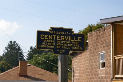
Photographed by Christopher Busta-Peck, September 22, 2007
1. The marker
Topics and series. This historical marker is listed in these topic lists: Roads & Vehicles • Settlements & Settlers. In addition, it is included in the Pennsylvania Keystone Markers, and the The Historic National Road series lists. A significant historical year for this entry is 1821.
Location. 40° 2.725′ N, 79° 58.571′ W. Marker is in Centerville, Pennsylvania, in Washington County. It is on Old National Pike west of Pennsylvania Route 481, on the right when traveling west. Touch for map. Marker is at or near this postal address: 911 Old National Pike, Brownsville PA 15417, United States of America. Touch for directions.

Regionally, this marker is in Greater Pittsburgh. It is also in the American Northeast, in the Mid-Atlantic, in Appalachia, and specifically in Northern Appalachia. Globally, it is in North America, the Western Hemisphere, the Western World, and the Anglosphere. Historically, it finds itself in what was once the Haudenosaunee (Iroquois) Confederacy and also one of the original Thirteen Colonies.
Other nearby markers. At
this page online
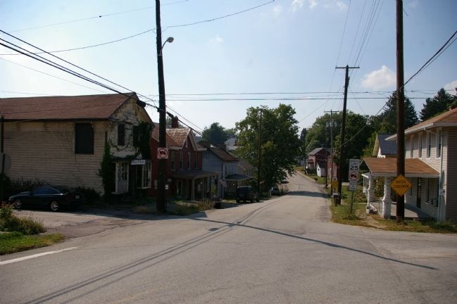
Photographed by Christopher Busta-Peck, September 22, 2007
2. Centerville, as seen from the marker
Credits. This page was last revised on October 21, 2024. It was originally submitted on January 27, 2008, by Christopher Busta-Peck of Shaker Heights, Ohio. This page has been viewed 1,596 times since then and 56 times this year. Last updated on July 22, 2022, by Bradley Owen of Morgantown, West Virginia. Photos: 1, 2. submitted on January 27, 2008, by Christopher Busta-Peck of Shaker Heights, Ohio. • J. Makali Bruton was the editor who published this page.
