Franklin in Williamson County, Tennessee — The American South (East South Central)
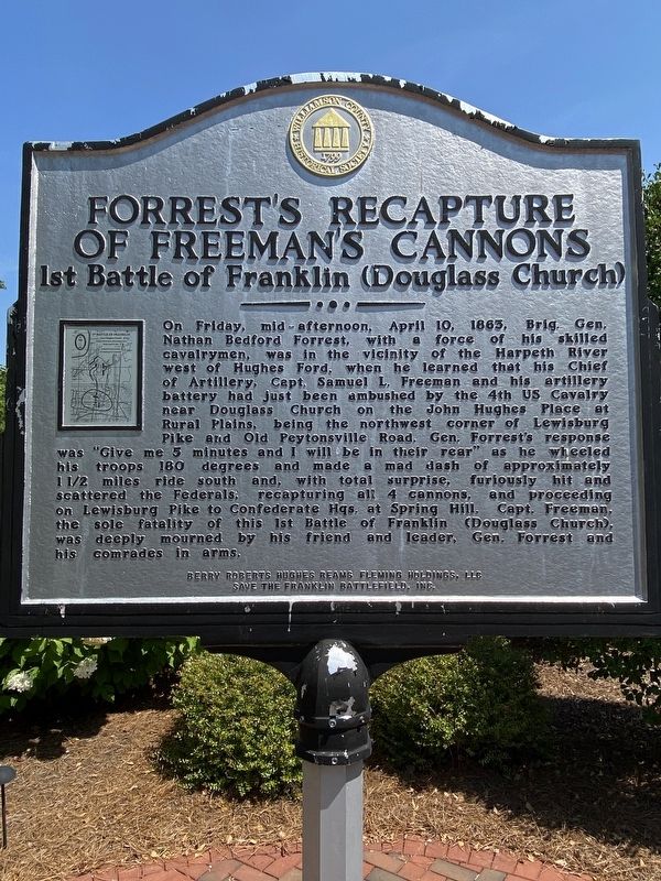
Forrestís Recapture of Freemanís Cannons
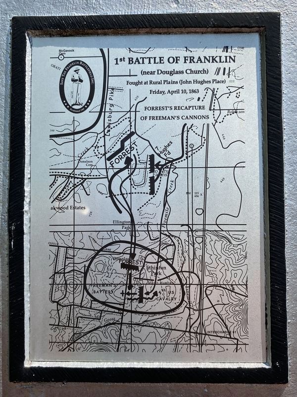
1st Battle of Franklin (Douglass Church)
Inscription.
On Friday, mid-afternoon, April 10, 1863, Brig. Gen.
Nathan Bedford Forrest, with a force of his skilled
cavalrymen, was in the vicinity of the Harpeth River
west of Hughes Ford, when he learned that his Chief
of Artillery, Capt. Samuel L. Freeman and his artillery
battery had just been ambushed by the 4th US Cavalry
near Douglass Church on the John Hughes Place at
Rural Plains, being the northwest corner of Lewisburg
Pike and Old Peytonsville Road, Gen. Forrest's response
was "Give me 5 minutes and I will be in their rear" as he wheeled
his troops 180 degrees and made a mad dash of approximately
1 1/2 miles ride south and, with total surprise, furiously hit and
scattered the Federals; recapturing all 4 cannons, and proceeding
on Lewisburg Pike to Confederate Hqs. at Spring Hill. Capt. Freeman,
the sole fatality of this 1st Battle of Franklin (Douglass Church),
was deeply mourned by his friend and leader, Gen. Forrest and
his comrades in arms.
Erected by Williamson County Historical Society.
Topics and series. This historical marker is listed in this topic list: War, US Civil. In addition, it is included in the Tennessee Ė Williamson County Historical Society series list.
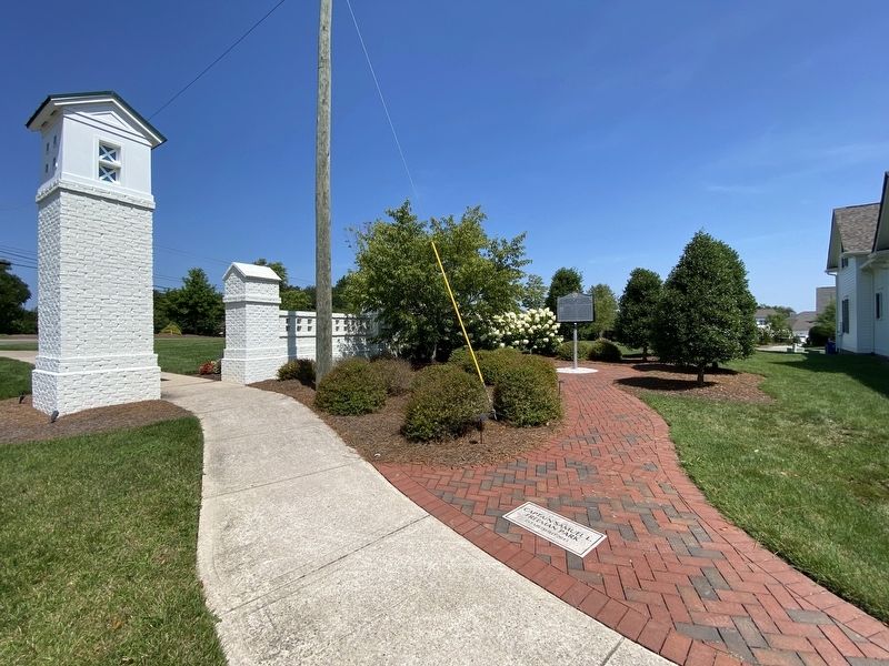
Location. 35° 51.973′ N, 86° 50.725′ W. Marker is in Franklin, Tennessee, in Williamson County. Marker is on Captain Freeman Parkway east of Lewisburg Pike (Tennessee Route 106), on the left when traveling east. Touch for map. Marker is at or near this postal address: 6010 Captain Freeman Pkwy, Franklin TN 37064, United States of America. Touch for directions.
Other nearby markers. At least 8 other markers are within 3 miles of this marker, measured as the crow flies. Hughes Mill Park (approx. 0.2 miles away); Franklin High School Gymnasium Windows (approx. ľ mile away); Franklin Noon Rotary Rodeo (approx. 0.9 miles away); Tyler Berry (approx. 1.1 miles away); Halfacre Reams Fleming Family Cemetery (approx. 1Ĺ miles away); Robert Hodge House (approx. 1.6 miles away); The Historic Shooting Range (approx. 1.6 miles away); West Harpeth Primitive Baptist Church (approx. 2.2 miles away). Touch for a list and map of all markers in Franklin.
Credits. This page was last revised on July 25, 2022. It was originally submitted on July 23, 2022, by Darren Jefferson Clay of Duluth, Georgia. This page has been viewed 124 times since then and 15 times this year. Photos: 1, 2, 3. submitted on July 23, 2022, by Darren Jefferson Clay of Duluth, Georgia. • Mark Hilton was the editor who published this page.


