Near Rockbridge in Hocking County, Ohio — The American Midwest (Great Lakes)
Lock No. 12 The Sheep Pen Lock
Photographed by William Fischer, Jr., June 1, 2009
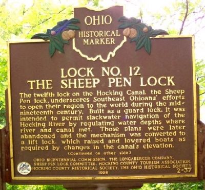
1. Lock No. 12 The Sheep Pen Lock Marker (Side A)
The twelfth lock on the Hocking Canal, the Sheep Pen lock, underscores Southeast Ohioans' efforts to open their region to the world during the mid-nineteenth century. Built as a guard lock, it was intended to permit slackwater navigation of the Hocking River by regulating water depths where river and canal met. Those plans were later abandoned and the mechanism was converted to a lift lock, which raised and lowered boats as required by changes in the canal's elevation.
(Continued on other side)
Side B:
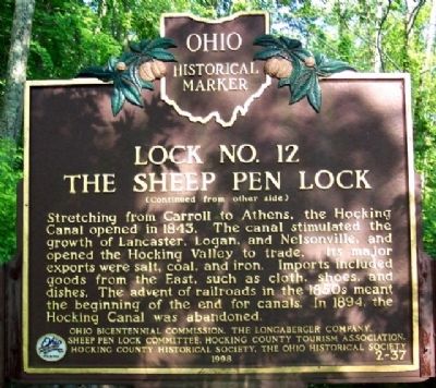
(Continued from other side)
Stretching from Carroll to Athens, the Hocking Canal opened in 1843. The canal stimulated the growth of Lancaster, Logan, and Nelsonville, and opened the Hocking Valley to trade. Its major exports were salt, coal, and iron. Imports included goods from the East, such as cloth, shoes, and dishes. The advent of railroads in the 1850s meant the beginning of the end for canals. In 1894, the Hocking Canal was abandoned.
Erected 1998 by Ohio Bicentennial Commission, The Longaberger Company, Sheep Pen Lock Committee, Hocking County Tourism Association, Hocking County Historical Society, and
this page online
Topics and series. This historical marker is listed in these topic lists: Industry & Commerce • Settlements & Settlers • Waterways & Vessels. In addition, it is included in the Ohio Historical Society / The Ohio History Connection series list. A significant historical year for this entry is 1843.
Location. 39° 34.767′ N, 82° 30.067′ W. Marker is near Rockbridge, Ohio, in Hocking County. It is on Dupler Road ¾ mile east of Mill Road, on the left when traveling east. Marker is in a wooded area and not easily seen from Dupler Road. Touch for map. Marker is in this post office area: Rockbridge OH 43149, United States of America. Touch for directions.

Regionally, this marker is in the Hocking Hills. It is also in the American Midwest, in the Corn Belt, in Appalachia, and specifically in Northern Appalachia. Globally, it is in North America, the Western Hemisphere, the Western World, and the Anglosphere. Historically, it finds itself in what was once the Haudenosaunee (Iroquois) Confederacy, the territory of the Mississippian Culture, and the Northwest Territory.
Other nearby markers. At
Photographed by William Fischer, Jr., June 1, 2009
2. Lock No. 12 The Sheep Pen Lock Marker (Side B)
Photographed by William Fischer, Jr., June 1, 2009
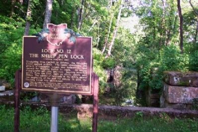
3. Lock No. 12 The Sheep Pen Lock and Marker
Photographed by William Fischer, Jr., June 1, 2009
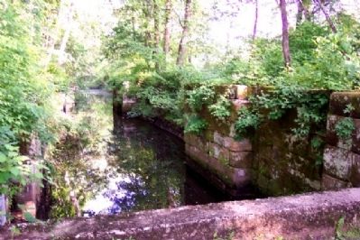
4. Lock No. 12 The Sheep Pen Lock
Credits. This page was last revised on July 24, 2022. It was originally submitted on June 29, 2009, by William Fischer, Jr. of Reynoldsburg, Ohio. This page has been viewed 3,332 times since then and 165 times this year. Last updated on July 24, 2022, by Grant & Mary Ann Fish of Galloway, Ohio. Photos: 1, 2, 3, 4. submitted on June 29, 2009, by William Fischer, Jr. of Reynoldsburg, Ohio. • J. Makali Bruton was the editor who published this page.
