Cupertino in Santa Clara County, California — The American West (Pacific Coastal)
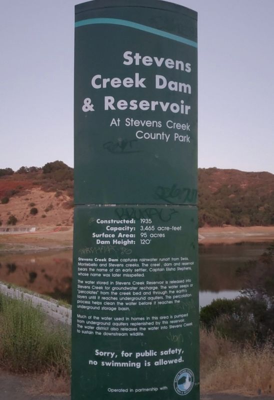
Stevens Creek Dam & Reservoir
At Stevens Creek County Park
Contructed: 1935
Capacity: 3,465 acre-feet
Surface Area: 95 acres
Dam Height: 120’
Stevens Creek Dam captures rainwater runoff from Swiss, Montebello and Stevens Creeks. The creel, dam and reservoir bears the name of an early settler, Captain Elisha Stephens, whose name was later misspelled.
The water stored in Stevens Creel Reservoir is released into Stevens Creek for groundwater recharge. The water seeps or “percolates” from the creek bed and through the earth’s layers until it reaches underground aquifers. This percolation process helps clean the water before it reaches the underground storage basin.
Much of the water used in homes in this area is pumped from underground aquifers replenished by this reservoir. The water district also releases the water into Stevens Creek to sustain the downstream wildlife.
Erected by Santa Clara Valley Water District.
Topics. This historical marker is listed in these topic lists: Charity & Public Work • Waterways & Vessels. A significant historical year for this entry is 1935.
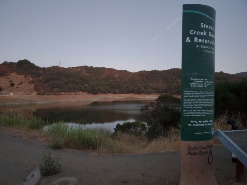
Location. 37° 17.93′ N, 122° 4.719′ W. Marker is in Cupertino, California, in Santa Clara County. Marker is on Stevens Canyon Road, on the right when traveling north. The marker is a concrete pillar between the parking lot and dam. Touch for map. Marker is at or near this postal address: 11997 Stevens Canyon Road, Cupertino CA 95014, United States of America. Touch for directions.
Other nearby markers. At least 8 other markers are within 3 miles of this marker, measured as the crow flies. The First Home on the Ranch (approx. 0.7 miles away); Winery and Ranch Operations (approx. 0.7 miles away); Everyday Life at the Ranch (approx. 0.7 miles away); Picchetti Ranch (approx. ¾ mile away); Arroyo de San Joseph Cupertino (approx. 1.6 miles away); Garrod Farms (approx. 1.8 miles away); Captain Elisha Stephens (approx. 1.9 miles away); St. Joseph’s College (approx. 2½ miles away). Touch for a list and map of all markers in Cupertino.
Credits. This page was last revised on September 29, 2022. It was originally submitted on July 24, 2022, by Joseph Alvarado of Livermore, California. This page has been viewed 232 times since then and 31 times this year. Photos: 1, 2. submitted on July 26, 2022, by Joseph Alvarado of Livermore, California. • Syd Whittle was the editor who published this page.

