Near Rockbridge in Richland County, Wisconsin — The American Midwest (Great Lakes)
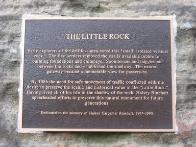
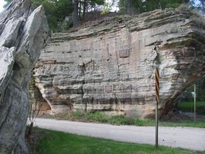
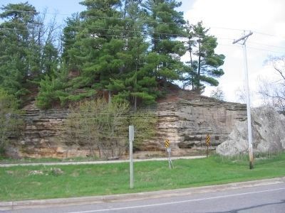
The Little Rock
By 1986 the need for safe movement of traffic conflicted with the desire to preserve the scenic and historical value of the "Little Rock." Having lived all his life in the shadow of the rock, Halsey Rinehart spearheaded efforts to preserve this natural monument for future generations.
Dedicated to the memory of Halsey Rinehart, 1914-1990.
Topics. This historical marker is listed in these topic lists: Landmarks • Natural Features. A significant historical year for this entry is 1986.
Location. 43° 26.682′ N, 90° 21.788′ W. Marker is near Rockbridge, Wisconsin, in Richland County. Marker is on County Highway D, 0.1 miles west of State Highway 80, on the right when traveling west. Touch for map. Marker is at or near this postal address: 25344 County Highway D, Richland Center WI 53581, United States of America. Touch for directions.
Other nearby markers. At least 8 other markers are within 8 miles of this marker, measured as the crow flies. Troop Encampment (within shouting distance of this marker); Pier Park (within shouting distance of this marker); Rockbridge (within shouting distance of this marker); St. Patrick's (approx. 5.1 miles away); Krouskop Park (approx. 7.1 miles away); Wisconsin Purple Heart Memorial Highway (approx. 7.2 miles away); Birthplace of GTE (approx. 7.2 miles away); Ada James (approx. 7.2 miles away). Touch for a list and map of all markers in Rockbridge.
Credits. This page was last revised on June 16, 2016. It was originally submitted on June 26, 2009, by Keith L of Wisconsin Rapids, Wisconsin. This page has been viewed 1,416 times since then and 37 times this year. It was the Marker of the Week August 9, 2009. Photos: 1, 2, 3. submitted on June 26, 2009, by Keith L of Wisconsin Rapids, Wisconsin. • Kevin W. was the editor who published this page.


