Bloomfield Township near Bloomfield Hills in Oakland County, Michigan — The American Midwest (Great Lakes)
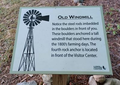
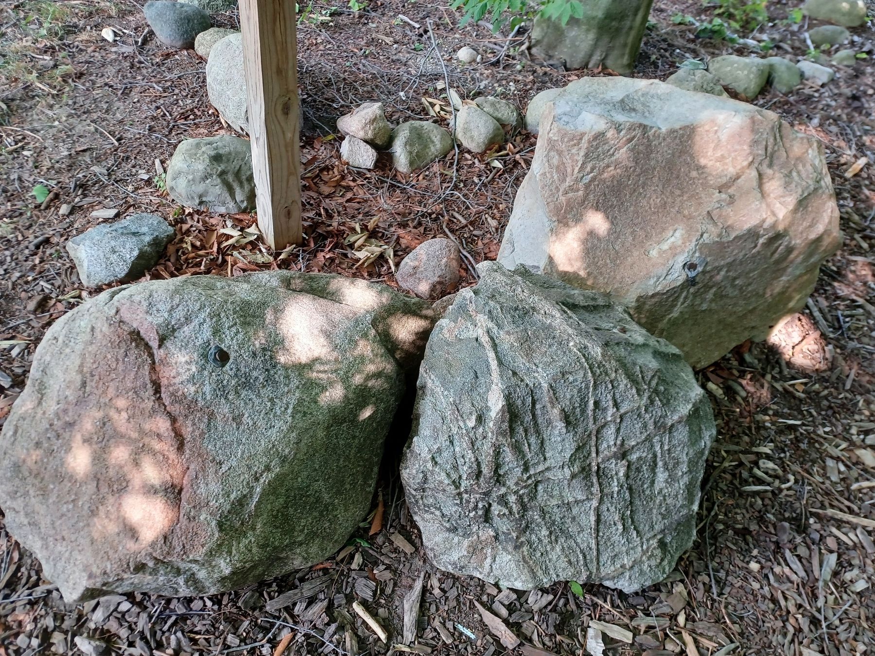
Old Windmill
Erected by E. L. Johnson Nature Center.
Topics. This historical marker is listed in this topic list: Agriculture.
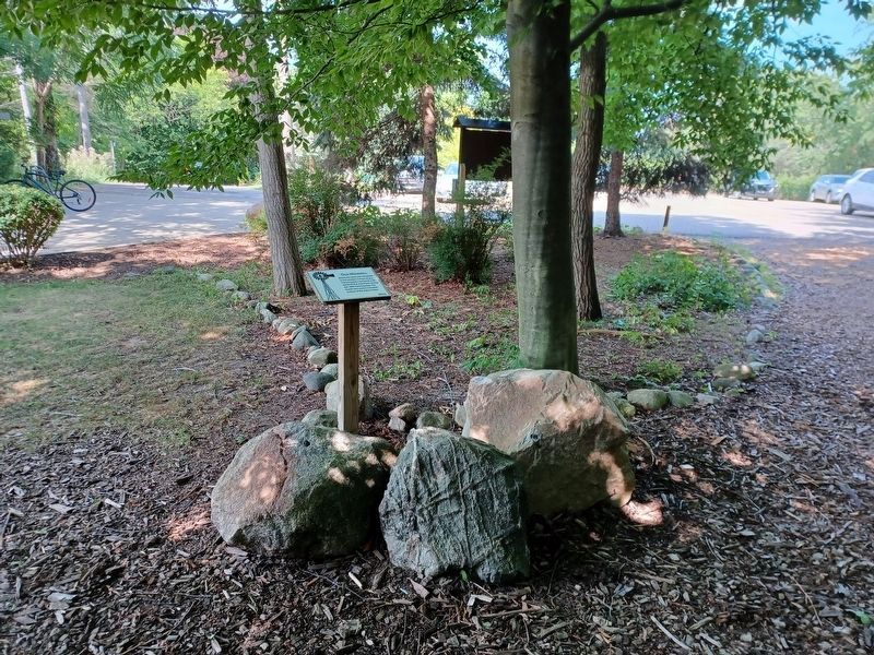
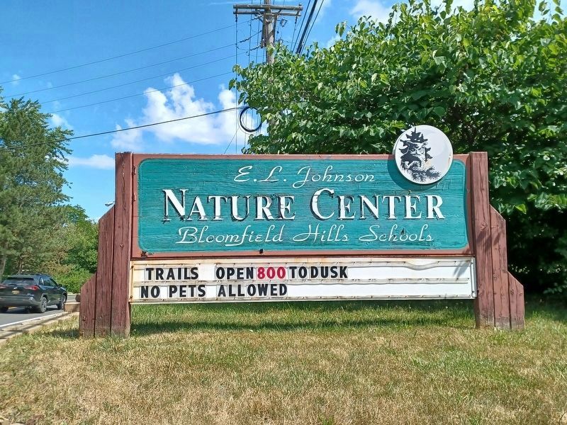
Location. 42° 35.491′ N, 83° 17.164′ W. Marker is near Bloomfield Hills, Michigan, in Oakland County. It is in Bloomfield Township. Marker can be reached from Franklin Road south of Club Drive, on the left when traveling south. Marker is in the E.L. Johnson Nature Center. It is along the Cottonwood Trail, which is left of the walkway leading from the parking lot to the Visitor Center. Touch for map. Marker is at or near this postal address: 3325 Franklin Road, Bloomfield Hills MI 48302, United States of America. Touch for directions.
Other nearby markers. At least 8 other markers are within 3 miles of this marker, measured as the crow flies. Nature's Bubbling Machine... (approx. 0.2 miles away); Can You Imagine (approx. 0.2 miles away); Newman African Methodist Episcopal Church (approx. 2.6 miles away); Learning and Growing (approx. 2.7 miles away); Ordered by Mail - Sent by Rail (approx. 2.7 miles away); "X" Marks the Spot (approx. 2.7 miles away); Versatile Vehicles (approx. 2.7 miles away); Welcome to Beaudette Park (approx. 2.7 miles away).
Credits. This page was last revised on February 7, 2023. It was originally submitted on July 26, 2022, by Joel Seewald of Madison Heights, Michigan. This page has been viewed 129 times since then and 11 times this year. Photos: 1, 2, 3, 4. submitted on July 26, 2022, by Joel Seewald of Madison Heights, Michigan.


