Scobey in Daniels County, Montana — The American West (Mountains)
Wood Mountain Trail
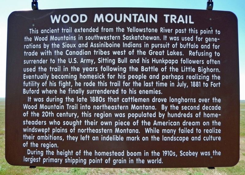
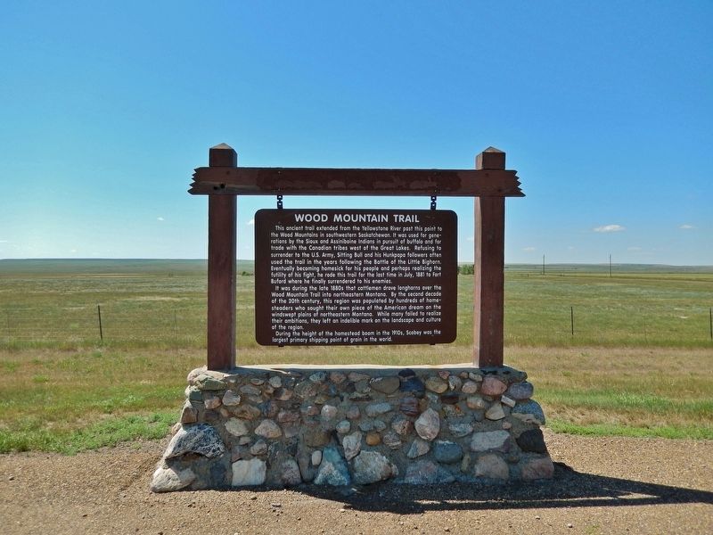
This ancient trail extended from the Yellowstone River past this point to the Wood Mountains in southwestern Saskatchewan. It was used for generations by the Sioux and Assiniboine Indians in pursuit of buffalo and for trade with the Canadian tribes west of the Great Lakes. Refusing to surrender to the U.S. Army, Sitting Bull and his Hunkpapa followers often used the trail in the years following the Battle of the Little Bighorn. Eventually becoming homesick for his people and perhaps realizing the futility of his fight, he rode this trail for the last time in July, 1881 to Fort Buford where he finally surrendered to his enemies.
It was during the late 1880s that cattlemen drove longhorns over the Wood Mountain Trail into northeastern Montana. By the second decade of the 20th century, this region was populated by hundreds of homesteaders who sought their own piece of the American dream on the windswept plains of northeastern Montana. While many failed to realize their ambitions, they left an indelible mark on the landscape and culture of the region.
During the height of the homestead boom in the 1910s, Scobey was the largest primary shipping point of grain in the world.
Topics. This historical marker is listed in these topic lists: Agriculture • Industry & Commerce • Native Americans • Settlements & Settlers. A significant historical month for this entry is July 1881.
Location. 48° 44.178′ N, 105° 25.248′ W. Marker is in Scobey, Montana, in Daniels County. Marker is on Main Street (State Highway 13) 3.9 miles south of 1st Avenue (State Highway 5), on the right when traveling south. Marker is located in a pull-out on the west side of the highway. Touch for map. Marker is in this post office area: Scobey MT 59263, United States of America. Touch for directions.
Other nearby markers. At least 1 other marker is within 4 miles of this marker, measured as the crow flies. Daniels County Courthouse (approx. 3.8 miles away).
Also see . . . Sitting Bull Surrenders.
In the wake of The Battle of Little Bighorn, the incensed U.S. government redoubled their efforts to hunt down the Sioux. At the same time, the encroachment of white settlers on traditionally Indian lands greatly reduced the buffalo population that the Sioux depended on for survival. In May 1877, Sitting Bull led his people to safety in Canada. Four years later, with food and resources scarce, Sitting Bull surrendered to the U.S. Army on July 20, 1881 in exchange for amnesty for his people.(Submitted on July 28, 2022, by Cosmos Mariner of Cape Canaveral, Florida.)
Credits. This page was last revised on July 28, 2022. It was originally submitted on July 28, 2022, by Cosmos Mariner of Cape Canaveral, Florida. This page has been viewed 149 times since then and 28 times this year. Photos: 1, 2. submitted on July 28, 2022, by Cosmos Mariner of Cape Canaveral, Florida.

