Near Biry in Medina County, Texas — The American South (West South Central)
Biry Bridge
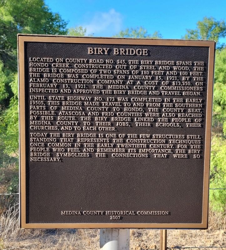
Until State Highway No. 173 was completed in the early 1950s, this bridge made travel to and from the southern parts of Medina County to Hondo, the county seat, possible. Atascosa and Frio counties were also reached by this route. The Biry Bridge linked the people of Medina County to their jobs, their schools, their churches, and to each other.
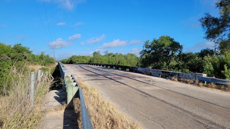
Today the Biry Bridge is one of the few structures still standing that represents the construction techniques once common in the early twentieth century. For the people who feel and remember its importance, the Biry Bridge symbolizes the connections that were so necessary.
Erected 2007 by Medina County Historical Commission.
Topics. This historical marker is listed in these topic lists: Bridges & Viaducts • Roads & Vehicles. A significant historical date for this entry is January 15, 1921.
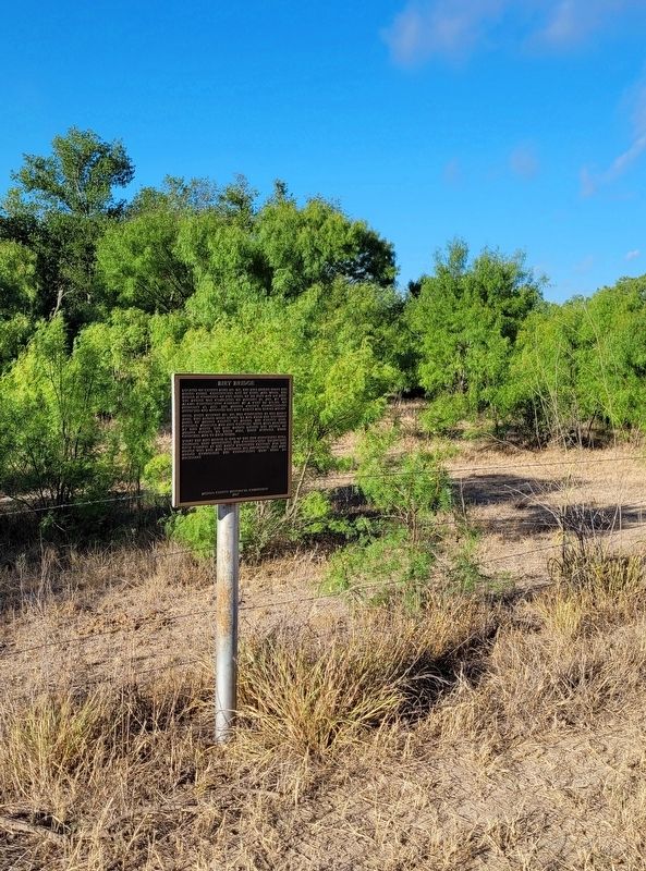
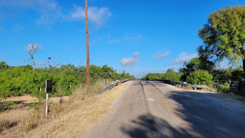
Location. 29° 13.29′ N, 99° 4.591′ W. Marker is near Biry, Texas, in Medina County. Marker is on County Highway 545, 0.7 miles east of County Highway 646, on the right when traveling east. The marker is located on the southeast side of the bridge along the road. Touch for map. Marker is in this post office area: Devine TX 78016, United States of America. Touch for directions.
Other nearby markers. At least 8 other markers are within 10 miles of this marker, measured as the crow flies. Black Creek Baptist Church (approx. 6.4 miles away); The Upper Presidio Road (approx. 6.6 miles away); Yancey, Texas (approx. 6.7 miles away); Yancey United Methodist Church (approx. 7 miles away); Medina County (approx. 9.1 miles away); Charco de la Pita (approx. 9.1 miles away); Spanish Exploration in Medina County (approx. 9.1 miles away); Saint John The Evangelist Catholic Church (approx. 9.3 miles away).
Also see . . . Biry, TX. Texas State Historical Association
Biry, also referred to as Biryville and as Briar Branch, is on Farm Road 173 and Briar Branch Creek, twelve miles southeast of Hondo in Medina County. The settlement was situated within empresario Henri Castro's original land grant and was established, under the name Briar Branch, around 1888 by the sons of Castro's initial European grantees.(Submitted on July 30, 2022, by James Hulse of Medina, Texas.)
Credits. This page was last revised on July 30, 2022. It was originally submitted on July 29, 2022, by James Hulse of Medina, Texas. This page has been viewed 178 times since then and 48 times this year. Photos: 1, 2, 3, 4. submitted on July 30, 2022, by James Hulse of Medina, Texas.


