Millett in La Salle County, Texas — The American South (West South Central)
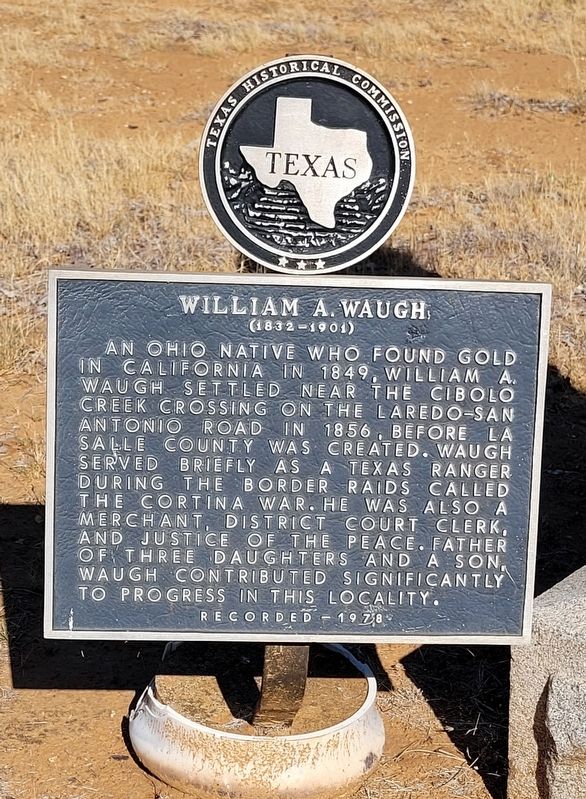
William A. Waugh
(1832-1901)
Erected 1978 by Texas Historical Commission. (Marker Number 8137.)
Topics. This historical marker is listed in these topic lists: Cemeteries & Burial Sites • War, Mexican-American • Wars, Non-US. A significant historical year for this entry is 1849.
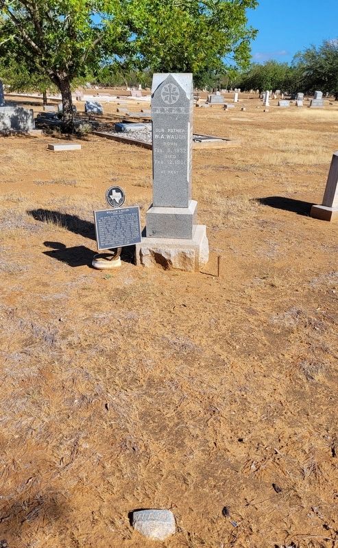
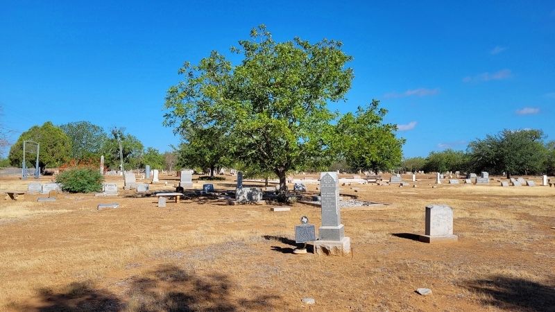
Location. 28° 34.972′ N, 99° 12.16′ W. Marker is in Millett, Texas, in La Salle County. Marker is on Ranch to Market Road 469, half a mile Interstate 35, on the right when traveling west. The marker is located in the southeast section of the Millett Cemetery. Touch for map. Marker is in this post office area: Dilley TX 78017, United States of America. Touch for directions.
Other nearby markers. At least 8 other markers are within 11 miles of this marker, measured as the crow flies. History of Our Lady of Guadalupe Church Millett, Texas (approx. 0.4 miles away); Kings Highway Camino Real — Old San Antonio Road (approx. 9.3 miles away); a different marker also named Kings Highway Camino Real — Old San Antonio Road (approx. 9.9 miles away); Capt. Jasper N. Daniel (approx. 10.1 miles away); Cotulla Cemetery (approx. 10.1 miles away); First Baptist Church (approx. 10.2 miles away); Kings Highway (approx. 10.3 miles away); The Old San Antonio Road (approx. 10.3 miles away).
Also see . . .
1. William A. Waugh - Pioneer La Salle County Rancher. La Salle Co. Genealogy
Little is known of the early life of W. A. Waugh other that the brief statement from his obituary1 that he was born in Ohio in 1832 and as a young man went West to the California gold fields. After amassing considerable money from this adventure he reportedly moved in 1850 to Brownsville, Texas, where he lived for several years. In 1856, accompanied by a few Mexican ranch hands, Waugh moved North into Bexar County where he established his cow camp near the Cibolo Creek Crossing on the San Antonio-Laredo Road. The land upon which Waugh ran his cattle was at that time open range. A ranch house was apparently build and Waugh speaks in his diary of tending the small garden, which was planted to supply fresh vegetables.(Submitted on July 30, 2022, by James Hulse of Medina, Texas.)
2. Dull's Ranch, TX. Texas State Historical Association
Dull's Ranch (Dulls Ranch or the Dull Ranch), formerly known as Waugh's Rancho and as Jahuey Ranch, was a ranching headquarters and rural post office fifteen miles northeast of Cotulla and just north of Cibolo Creek in north central La Salle County. The place was originally named for William A. Waugh, the first White settler of La Salle County and the original owner of the ranch.(Submitted on July 30, 2022, by James Hulse of Medina, Texas.)
3. Cortina Troubles. Wikipedia
The Cortina Troubles is the generic name for the First Cortina War, from 1859 to 1860, and the Second Cortina War, in 1861, in which paramilitary forces, led by the Mexican rancher and local leader Juan Nepomuceno Cortina, confronted elements of the United States Army, the Confederate States Army, the Texas Rangers, and the local militias of Brownsville, Texas, and Matamoros, Tamaulipas.(Submitted on July 30, 2022, by James Hulse of Medina, Texas.)
Additional keywords. Texas Rangers
Credits. This page was last revised on July 30, 2022. It was originally submitted on July 30, 2022, by James Hulse of Medina, Texas. This page has been viewed 83 times since then and 8 times this year. Photos: 1, 2, 3. submitted on July 30, 2022, by James Hulse of Medina, Texas.


