Beebe in Custer County, Montana — The American West (Mountains)
Beebe
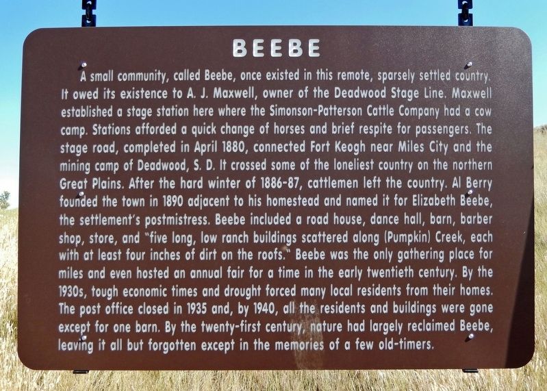
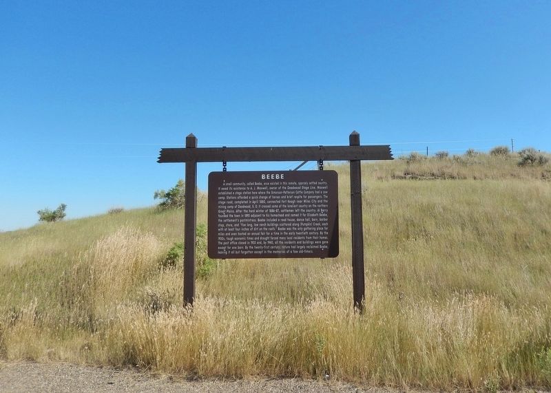
A small community, called Beebe, once existed in this remote, sparsely settled country. It owed its existence to A. J. Maxwell, owner of the Deadwood Stage Line. Maxwell established a stage station here where the Simonson-Patterson Cattle Company had a cow camp. Stations afforded a quick change of horses and brief respite for passengers. The stage road, completed in April 1880, connected Fort Keogh near Miles City and the mining camp of Deadwood, S. D. It crossed some of the loneliest country on the northern Great Plains. After the hard winter of 1886-87, cattlemen left the country. Al Berry founded the town in 1890 adjacent to his homestead and named it for Elizabeth Beebe, the settlement's postmistress. Beebe included a road house, dance hall, barn, barber shop, store, and "five long, low ranch buildings scattered along (Pumpkin) Creek, each with at least four inches of dirt on the roofs." Beebe was the only gathering place for miles and even hosted an annual fair for a time in the early twentieth century. By the 1930s, tough economic times and drought forced many local residents from their homes. The post office closed in 1935 and, by 1940, all the residents and buildings were gone except for one barn. By the twenty-first century, nature had largely reclaimed Beebe, leaving it all but forgotten except in the memories of a few old-timers.
Topics. This historical marker is listed in these topic lists: Industry & Commerce • Roads & Vehicles • Settlements & Settlers • Women. A significant historical year for this entry is 1890.
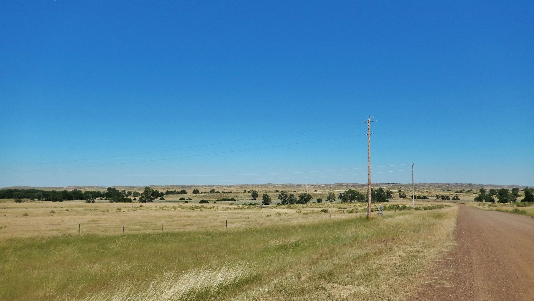
Location. 46° 3.354′ N, 105° 34.271′ W. Marker is in Beebe, Montana, in Custer County. Marker is at the intersection of State Highway 59 at milepost 30 and Powderville Road, on the left when traveling south on State Highway 59. Marker is located in a pull-out at the southeast corner of the intersection. Touch for map. Marker is in this post office area: Miles City MT 59301, United States of America. Touch for directions.
Credits. This page was last revised on August 1, 2022. It was originally submitted on July 30, 2022, by Cosmos Mariner of Cape Canaveral, Florida. This page has been viewed 293 times since then and 38 times this year. Photos: 1, 2, 3. submitted on August 1, 2022, by Cosmos Mariner of Cape Canaveral, Florida.


