Cotulla in La Salle County, Texas — The American South (West South Central)
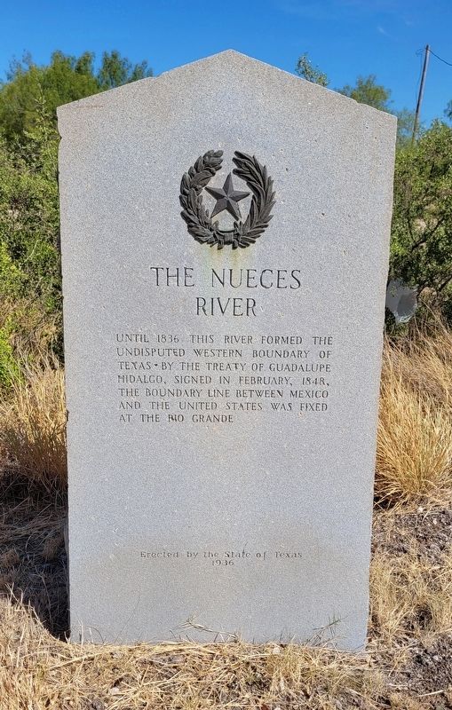
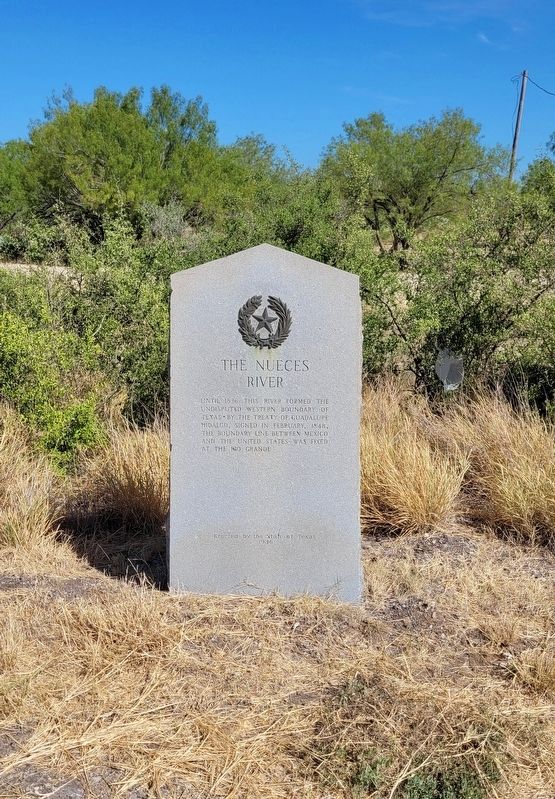
The Nueces River
undisputed western boundary of
Texas • by the Treaty of Guadalupe
Hidalgo, signed in February, 1848,
the boundary line between Mexico
and the United States was fixed
at the Rio Grande
Erected 1936 by State of Texas. (Marker Number 8135.)
Topics and series. This historical marker is listed in this topic list: Waterways & Vessels. In addition, it is included in the Texas 1936 Centennial Markers and Monuments series list. A significant historical month for this entry is February 1848.
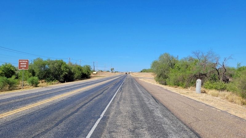
Location. 28° 25.366′ N, 99° 14.705′ W. Marker is in Cotulla, Texas, in La Salle County. Marker is on South Main Street (Business Highway 35) 0.7 miles east of Interstate 35, on the right when traveling west. The marker is located on the north side of the highway. Touch for map. Marker is in this post office area: Cotulla TX 78014, United States of America. Touch for directions.
Other nearby markers. At least 8 other markers are within one mile of this marker, measured as the crow flies. The Amanda Burks School (approx. one mile away); Cotulla's First School (approx. one mile away); First Presbyterian Church of Cotulla (approx. one mile away); La Salle County (approx. one mile away); The First United Methodist Church of Cotulla (approx. 1.1 miles away); Cotulla City Park (approx. 1.1 miles away); La Salle County Veterans (approx. 1.1 miles away); Polish Immigrant Joseph Cotulla (approx. 1.1 miles away). Touch for a list and map of all markers in Cotulla.
Also see . . . Nueces River. Wikipedia
Called Chotilapacquen by Coahuiltecan-speaking groups, the river was named "Nueces" by Alonso de León referring to the abundant pecan tree groves. One of the first settlers to scout the area was Cpt. Blas María de la Garza Falcón in 1766. From before the end of the Texas Revolution, Mexico recognized that the Nueces River was historically the border between its state of Tejas and the rest of the country. However, the Republic of Texas claimed the Rio Grande as its border with Mexico, citing the Treaty of Velasco signed by Mexican President Santa Anna, who had agreed to the Rio Grande border within Coahuila y Texas after having lost the Battle of San Jacinto. This contention continued after the annexation of Texas by the United States, and was one of the causes of the Mexican–American War. The Treaty of Guadalupe Hidalgo ended the dispute, with Mexico—while under American occupation—recognizing the Rio Grande as its northern border.(Submitted on July 30, 2022, by James Hulse of Medina, Texas.)
Credits. This page was last revised on July 30, 2022. It was originally submitted on July 30, 2022, by James Hulse of Medina, Texas. This page has been viewed 364 times since then and 68 times this year. Photos: 1, 2, 3. submitted on July 30, 2022, by James Hulse of Medina, Texas.


