Sidney in Richland County, Montana — The American West (Mountains)
The Elm Coulee Oil Field
Birthplace of the Bakken Oil Boom
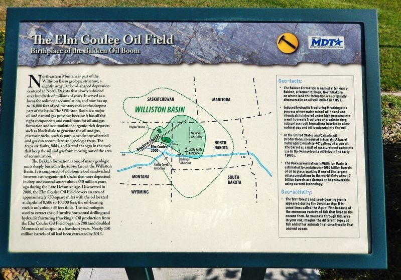
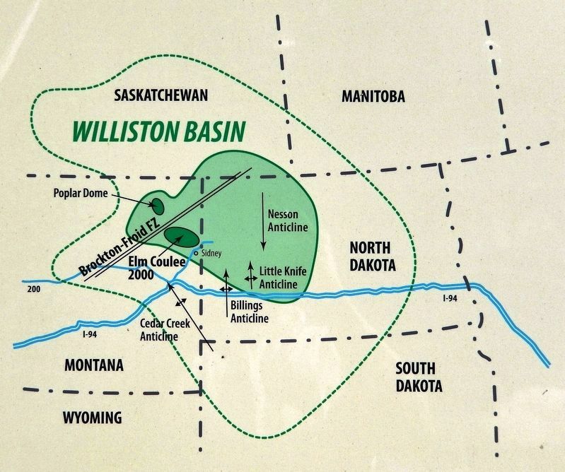
Northeastern Montana is part of the Williston Basin geologic structure, a slightly irregular, bowl-shaped depression centered in North Dakota that slowly subsided over hundreds of millions of years. It served as a locus for sediment accumulation, and now has up to 16,000 feet of sedimentary rock in the deepest part of the basin. The Williston Basin is a major oil and natural gas province because it has all the right components and conditions for oil and gas formation and accumulation: organic-rich deposits such as black shale to generate the oil and gas, reservoir rocks, such as porous sandstone where oil and gas can accumulate, and geologic traps. The traps are faults, folds, and lateral changes in the rock that keep the oil and gas from moving out of the area of accumulation.
The Bakken formation is one of many geologic units deeply buried in the subsurface in the Williston Basin. It is comprised of a dolomite bed sandwiched between two organic-rich shales that were deposited in deep and coastal waters about 350 million years ago during the Late Devonian age. Discovered in 2000, the Elm Coulee Oil Field covers an area of approximately 750 square miles with the oil located at depths of 8,500 to 10,500 feet; the oil-bearing rock is only about 45 feet thick. The technologies used to extract the oil involve horizontal drilling and hydraulic fracturing (fracking). Oil production from the Elm Coulee Oil Field began in 2001 and doubled Montana's oil output in a few short years. Nearly 150 million barrels of oil had been extracted by 2013.
Geo-facts:
• The Bakken Formation is named after Henry Bakken, a farmer in Tioga, North Dakota on whose land the formation was originally discovered in an oil well drilled in 1951.
• Induced hydraulic fracturing (fracking) is a process where water mixed with sand and chemicals is injected under high pressure into a well to create fractures or cracks in deep, subsurface rock formations in order to allow natural gas and oil to migrate into the well.
• In the United States and Canada, oil production is measured in barrels. A barrel holds approximately 42 gallons of crude oil. The barrel as a unit of measurement came into use in the Pennsylvania oil fields in the early 1860s.
• The Bakken Formation in Williston Basin is estimated to contain over 500 billion barrels of oil in place, making it one of the largest oil accumulations in the world. Only about 7 billion barrels are deemed to be recoverable using current technology.
Geo-activity:
• The first forests and seed-bearing plants appeared during the Devonian Age. It is sometimes called the Age of Fish because of the enormous variety of fish that lived in the oceans then. As you pass through this area in your car, imagine the different types of fish and other animals that once lived in that ancient ocean.
Erected by Montana Department of Transportation.
Topics. This historical marker is listed in these topic lists: Industry & Commerce • Science & Medicine. A significant historical year for this entry is 2000.
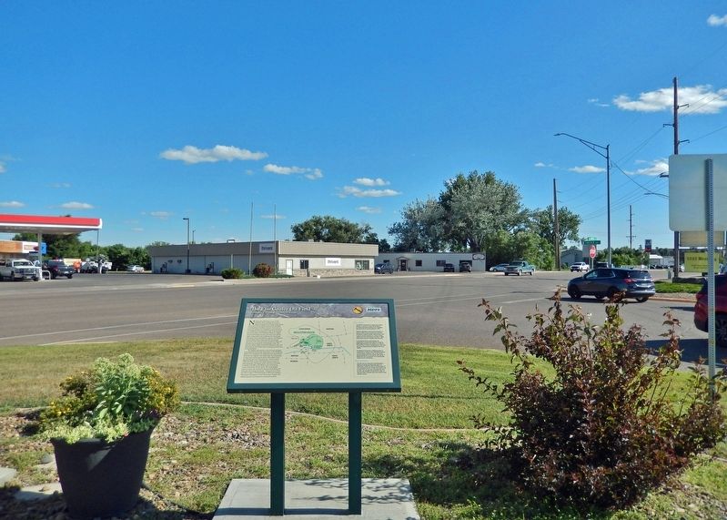
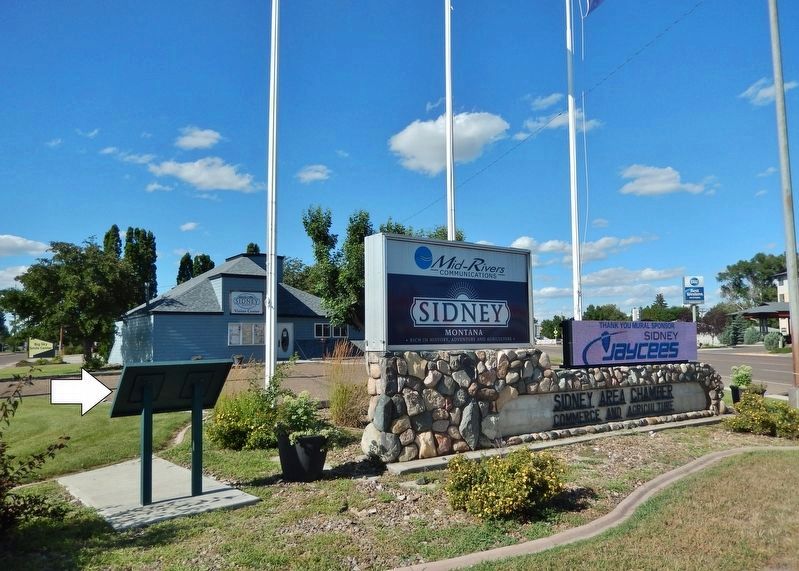
Location. 47° 42.423′ N, 104° 9.789′ W. Marker is in Sidney, Montana, in Richland County. Marker is at the intersection of South Central Avenue (State Highway 16/200) and Lincoln Avenue South, on the right when traveling south on South Central Avenue. Marker is located at the south end of the Sidney Area Chamber of Commerce & Agriculture parking lot. Touch for map. Marker is at or near this postal address: 909 South Central Avenue, Sidney MT 59270, United States of America. Touch for directions.
Other nearby markers. At least 5 other markers are within 14 miles of this marker, measured as the crow flies. Mining Lignite Coal (approx. 11.8 miles away); Hjalmer Nelson Memorial Bridge (approx. 13.8 miles away in North Dakota); The Montana Eastern Railway Company (approx. 13.8 miles away in North Dakota); Fairview Lift Bridge (approx. 13.8 miles away in North Dakota); The Cartwright Tunnel (approx. 13.8 miles away in North Dakota).
Also see . . .
1. Elm Coulee Oil Field.
Elm Coulee Oil Field was discovered in the Williston Basin in Richland County, eastern Montana, in 2000. It produces oil from the Bakken formation and, as of 2007, was the "highest-producing onshore field found in the lower 48 states in the past 56 years." By 2007, the field had become one of the 20 largest oil fields in the United States. In 2006, Elm Coulee was producing about 53,000 barrels of oil per day from more than 350 wells. Ultimate production is expected to exceed 270 million barrels, with some estimates as high as 500 million barrels.(Submitted on August 2, 2022, by Cosmos Mariner of Cape Canaveral, Florida.)
2. Bakken Formation.
The application of hydraulic fracturing and directional drilling technologies has caused a boom in Bakken oil production since 2000. By the end of 2010, oil production rates had reached 458,000 barrels per day. The Bakken formation has emerged in recent years as one of the most important sources of new oil production in the United States. Most Bakken drilling and production has been in North Dakota, although the formation also extends into Montana and the Canadian provinces of Saskatchewan and Manitoba. As of 2013, the Bakken was the source of more than ten percent of all US oil production. North Dakota as of 2014 was the second-largest oil-producing state in the US, behind only Texas in volume of oil produced.(Submitted on August 2, 2022, by Cosmos Mariner of Cape Canaveral, Florida.)
Credits. This page was last revised on August 3, 2022. It was originally submitted on August 1, 2022, by Cosmos Mariner of Cape Canaveral, Florida. This page has been viewed 198 times since then and 57 times this year. Photos: 1, 2, 3, 4. submitted on August 2, 2022, by Cosmos Mariner of Cape Canaveral, Florida.


