Tishomingo in Johnston County, Oklahoma — The American South (West South Central)
Tishomingo
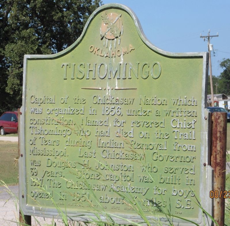
Capital of the Chickasaw Nation which was organized in 1856, under a written constitution. Named for revered Chief Tishomingo who had died on the Trail of Tears during Indian Removal from Mississippi. Last Chickasaw Governor was Douglas H. Johnston who served 39 years. Stone capitol was built in 1897. The Chickasaw Academy for boys opened in 1851, about 3 miles S.E.
Erected 1949 by Oklahoma Historical Society and State Highway Commission.
Topics. This historical marker is listed in this topic list: Native Americans. A significant historical year for this entry is 1856.
Location. 34° 14.245′ N, 96° 41.888′ W. Marker is in Tishomingo, Oklahoma, in Johnston County. Marker is on Western Avenue, on the left when traveling west. The marker is located in a pullout at the intersection of OK 22 and US 377/OK 99. Touch for map. Marker is in this post office area: Tishomingo OK 73460, United States of America. Touch for directions.
Other nearby markers. At least 8 other markers are within walking distance of this marker. Good Springs (approx. 0.9 miles away); Lest We Forget - World War II (approx. 0.9 miles away); Lest We Forget - Korea (approx. 0.9 miles away); Lest We Forget - World War I (approx. 0.9 miles away); Lest We Forget - Vietnam (approx. 0.9 miles away); CDR. Clarence "Smokey" Tolbert USN (approx. 0.9 miles away); Lest We Forget - Persian Gulf (approx. 0.9 miles away); Richard Miles McCool Jr. (approx. 0.9 miles away). Touch for a list and map of all markers in Tishomingo.
Credits. This page was last revised on August 4, 2022. It was originally submitted on August 3, 2022, by Jason Armstrong of Talihina, Oklahoma. This page has been viewed 133 times since then and 21 times this year. Photo 1. submitted on August 3, 2022, by Jason Armstrong of Talihina, Oklahoma. • J. Makali Bruton was the editor who published this page.
Editor’s want-list for this marker. A wide view photo of the marker and the surrounding area together in context. • Can you help?
