Near Castalia in Winneshiek County, Iowa — The American Midwest (Upper Plains)
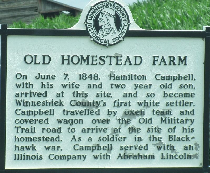
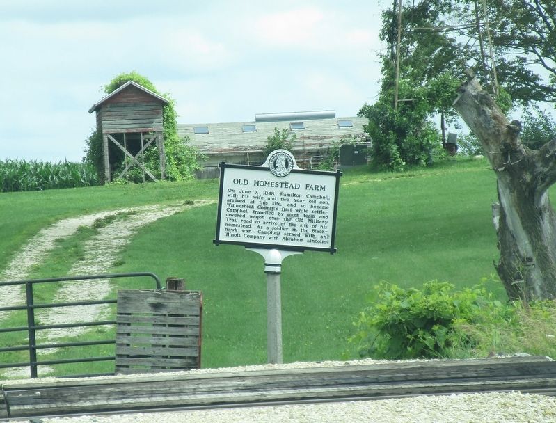
Old Homestead Farm
On June 7, 1848, Hamilton Campbell, with his wife and two year old son, arrived at this site, and so became Winneseik County’s first white settler. Campbell travelled by oxen team and covered wagon over the Old Military Trail road to arrive at the site of his homestead. As a soldier in the Blackhawk war, Campbell served with an Illinois Company with Abraham Lincoln.
Topics. This historical marker is listed in these topic lists: Roads & Vehicles • Settlements & Settlers • Wars, US Indian. A significant historical date for this entry is June 7, 1848.
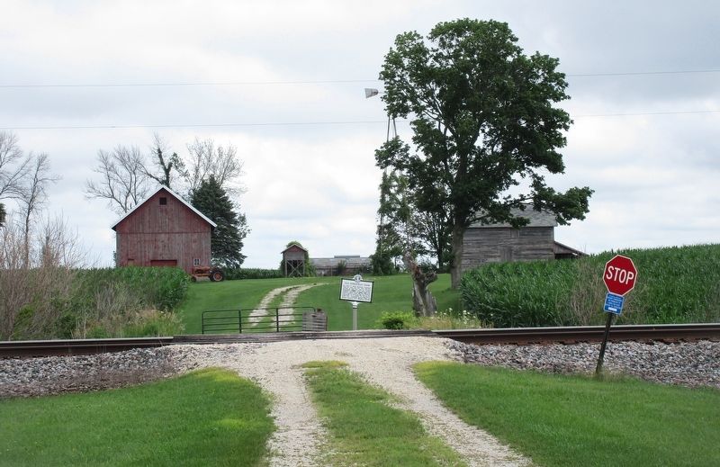
Location. 43° 6.212′ N, 91° 38.362′ W. Marker is near Castalia, Iowa, in Winneshiek County. Marker is on River Bluffs Scenic Highway /Hiawatha Pioneer Trai (U.S. 52), on the right when traveling west. The marker is across railroad tracks from US 52, just east of the railroad crossing on US 52. Touch for map. Marker is at or near this postal address: 1144 US 52, Castalia IA 52133, United States of America. Touch for directions.
Other nearby markers. At least 8 other markers are within 16 miles of this marker, measured as the crow flies. Abraham Lincoln Statue and Park (approx. 7 miles away); Fayette County Historical Center (approx. 12.9 miles away); William Wells (approx. 13 miles away); Waukon Freedom Rock Veterans Memorial (approx. 13˝ miles away); Allamakee County Court House Museum (approx. 14.2 miles away); Norwegian House (approx. 14.2 miles away); Decorah: A Walk into the Past (approx. 15.7 miles away); a different marker also named Decorah: A Walk into the Past (approx. 15.7 miles away).
Credits. This page was last revised on August 4, 2022. It was originally submitted on August 3, 2022, by Rev. Ronald Irick of West Liberty, Ohio. This page has been viewed 198 times since then and 40 times this year. Photos: 1, 2, 3, 4. submitted on August 3, 2022, by Rev. Ronald Irick of West Liberty, Ohio. • J. Makali Bruton was the editor who published this page.


