
Near Fort Frances in Rainy River District, Ontario — Central Canada (North America)
Robert J. N. Pither
1824 - 1918
Photographed by Rev. Ronald Irick, July 17, 2022
1. Robert J. N. Pither 1824 – 1918 Marker
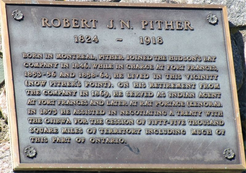
Born in Montreal, Pither joined the Hudson’s Bay Company in 1846. While in charge at Ft. Frances, 1853-56 and 1858-64, he lived in this vicinity (now Pither’s Point). On his retirement from the company in 1869, he served as Indian Agent at Fort Frances and later at Rat Portage (Kenora). In 1873 he assisted in negotiating a treaty with the Ojibwa for the cessation of fifty-five thousand square miles of territory, including much of this part of Ontario.
Erected 1972 by Fort Frances Museum & Cultural Centre.
Topics. This historical marker is listed in these topic lists: Exploration • Indigenous Peoples and Communities • Settlements & Settlers. A significant historical year for this entry is 1873.
Location. 48° 37.054′ N, 93° 21.518′ W. Marker is near Fort Frances, Ontario, in Rainy River District. It is at the intersection of Lake Road and Idylwild, on the right when traveling north on Lake Road. Marker is in Point Park. Touch for map. Marker is at or near this postal address: 920 Mill Road Rt 11 TransCanadian Hwy, Fort Frances ON P9A 3M3, Canada. Touch for directions.

Regionally, this marker is in Northern
this page online
Other nearby markers. At least 8 other markers are within walking distance of this marker: Sieur De La Vérendrye (1685- 1749) (within shouting distance of this marker); Calder History (about 120 meters away, measured in a direct line); Fort St. Pierre / Le Fort Saint-Pierre (approx. 0.3 kilometers away); Pelts, Paddles and Portages (approx. 0.8 kilometers away); Explore Fort Frances East (approx. 0.8 kilometers away); a different marker also named Pelts, Paddles and Portages (approx. one kilometer away); Establishing the Fur Trade (approx. one kilometer away); Explore Fort Frances Central (approx. one kilometer away). Touch for a list and map of all markers in Fort Frances.
Photographed by Rev. Ronald Irick, July 17, 2022
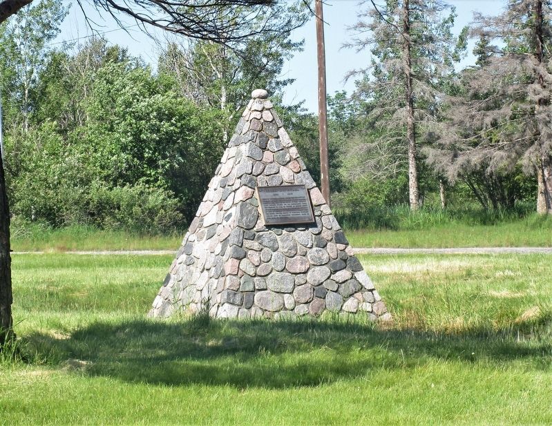
2. Robert J. N. Pither 1824 – 1918 Marker
Photographed by Rev. Ronald Irick, July 17, 2022
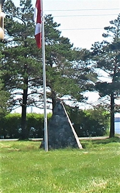
3. Robert J. N. Pither 1824 – 1918 Marker

4. Robert J. N. Pither 1824 – 1918 Marker
portrait of Robert J. N. Pither
Credits. This page was last revised on March 27, 2025. It was originally submitted on August 8, 2022, by Rev. Ronald Irick of West Liberty, Ohio. This page has been viewed 327 times since then and 29 times this year. Photos: 1, 2, 3, 4. submitted on August 8, 2022, by Rev. Ronald Irick of West Liberty, Ohio. • Andrew Ruppenstein was the editor who published this page.
