Overland in Denver in Denver County, Colorado — The American Mountains (Southwest)
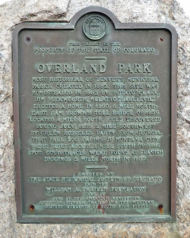
Overland Park
property of the State of Colorado
———
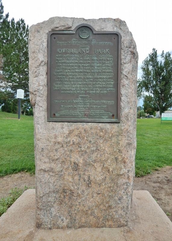
Most historical of Denver’s municipal parks. Created in 1882. This site was homesteaded in 1862 by “Potato” Clark. Jim Beckwourth, Mulatto “Daredevil”, erected a home in 1860 .6 mile northeast. Sam Brown’s toll bridge of 1859 located 4 miles south. Gold discovered during July, 1858 .2 mile southwest by Green Russell’s party from Georgia. That fall log cabins of Montana City were built about .5 mile south of this spot. Gold traces were found at Spanish Diggings 2 miles north in 1857.
———
Erected by
The State Historical Society of Colorado
from the
William A. Braiden Foundation
and by
Sons of the American Revolution
American Pioneer Trails and the Western
History students of South High School
1948
Erected 1948 by State Historical Society of Colorado; William A. Braiden Foundation; Sons of the American Revolution; American Pioneer Trails; and the Western History Students of South High School.
Topics and series. This historical marker is listed in these topic lists: Parks & Recreational Areas • Settlements & Settlers. In addition, it is included in the Colorado - History Colorado, and the Sons of the American Revolution (SAR) series lists. A significant historical year for this entry is 1882.
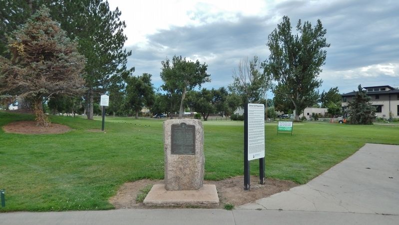
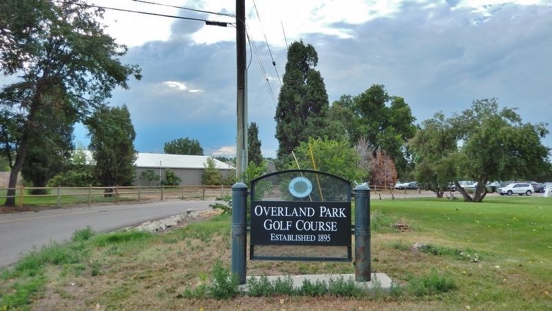
Location. 39° 40.962′ N, 104° 59.839′ W. Marker is in Denver, Colorado, in Denver County. It is in Overland. Marker can be reached from the intersection of West Jewell Avenue and South Huron Street, on the right when traveling west. Marker is located near the first tee at Overland Park Golf Course. Touch for map. Marker is at or near this postal address: 1801 South Huron Street, Denver CO 80223, United States of America. Touch for directions.
Other nearby markers. At least 8 other markers are within 4 miles of this marker, measured as the crow flies. Camp Weld (approx. 3.3 miles away); The Buckhorn Exchange (approx. 3.4 miles away); WWII 10th Mountain Division (approx. 3.7 miles away); Votes for Women (approx. 3.9 miles away); The Molly Brown House (approx. 3.9 miles away); Alfred Dach (approx. 3.9 miles away); Logan’s Memorial Day Order (approx. 3.9 miles away); Irving Hale (approx. 3.9 miles away). Touch for a list and map of all markers in Denver.
Also see . . .
1. Overland Park Neighborhood History.
Overland was home to the first platted town on the eastern slope of the Rockies, Montana City. It was founded by a party from Lawrence, Kansas who wagon-trained west for gold in 1858.(Submitted on August 9, 2022, by Cosmos Mariner of Cape Canaveral, Florida.)In 1859, Rufus H. (Potato) Clark homesteaded the area now known as the Overland Golf Course, and operated a farm from 1863 to 1873. Mountain man Jim Beckwourth homesteaded just south. In 1883, the promoters of Denver Circle Railroad bought the farms and built a race track, which they named Jewell Park after a former Connecticut Governor, Charles A. Jewell, who was also a stockholder in the racing park and the railroad.
In 1887, the park was sold to a group looking for a site for a country club. The racing park was renamed Overland Park. Henry Wolcott bought out the other members and took over the park. He introduced the game of golf to Denver, and developed a nine-hole course circling the race track.
2. Montana City, Colorado.
Montana City was the first settlement in what was later to become Denver, Colorado. It was established during the Pikes Peak Gold Rush on the east bank of the South Platte River, just north of the confluence with Little Dry Creek, in 1858. The site selected because it was adjacent to placer gold diggings along the South Platte River. However, the gold diggings at Montana City proved disappointing, and the site was soon abandoned in favor of the settlement of Auraria, a few miles downstream. The abandoned Montana City location is now the site of the Grant-Frontier Park located on South Platte River Drive in Denver, just southwest of the intersection of Santa Fe Drive and W. Evans Avenue.(Submitted on August 9, 2022, by Cosmos Mariner of Cape Canaveral, Florida.)
Credits. This page was last revised on February 7, 2023. It was originally submitted on August 9, 2022, by Cosmos Mariner of Cape Canaveral, Florida. This page has been viewed 216 times since then and 36 times this year. Photos: 1, 2, 3, 4. submitted on August 9, 2022, by Cosmos Mariner of Cape Canaveral, Florida.


