Dead Man’s Flats in Municipal District of Bighorn No. 8, Alberta — Canada’s Prairie Region (North America)
Tae Gŭh They Hunch
Dead Man’s Flats
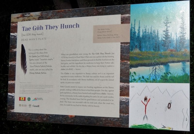
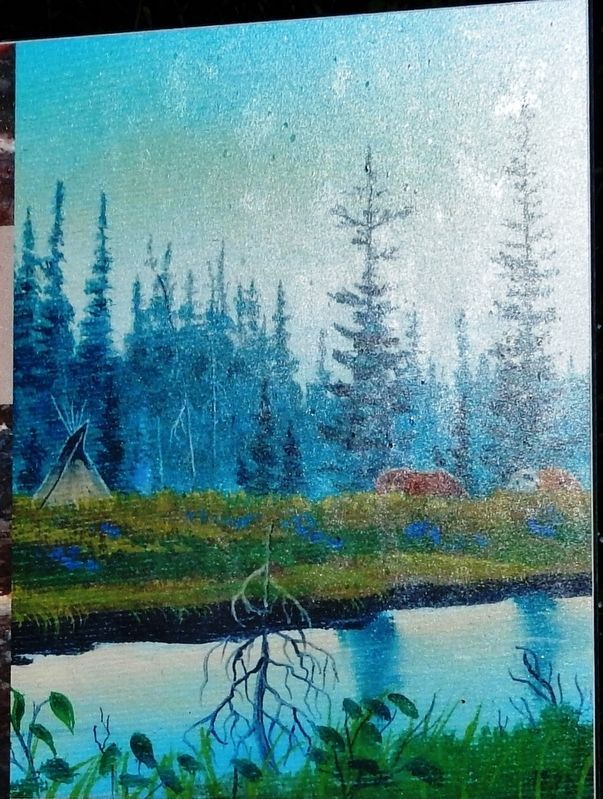
When our grandfathers were young, the Tae Gŭh They Hunch [tae GŬH they hunch] or Dead Man's Flats area was a prime site for hunting. Stoney hunters had always used these grounds to find the best harvest, the best game, and the ingredients for medicines to keep their Nation safe, healthy and well-fed. On this day, a Stoney brave was trying to capture a chaba [cha-BAH] — beaver.
The Chaba is very important to Stoney culture and is an important ingredient in many medicines. The hide was used for drums and the tail for food. In accordance with Stoney traditions, out of respect for animal spirits, no parts were wasted.
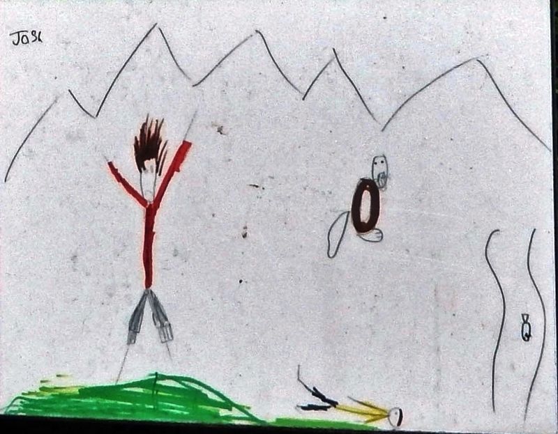
Parks Canada started to impose new hunting regulations on the Stoney people, making it difficult for them to feed their people. One day, against park regulations, a Stoney brave hunted and caught many chaba — beavers, for his community. In the midst of gutting his catch, he saw a park warden coming. The bloodied brave hid his good fortune and pretended to be dead. The brave was successful with his trick and, when the coast was clear, he made his way back to Morley with his bounty.
Erected 2017 by Chiniki Elders Advisory Council; Municipal District of Bighorn, Banff Canmore Community Foundation; and the Government of Canada.
Topics. This historical marker is listed in these topic lists: Animals • Native Americans • Parks & Recreational Areas.
Location. 51° 2.356′ N, 115° 16.027′ W. Marker is in Dead Man’s Flats, Alberta, in Municipal District of Bighorn No. 8. Marker is at the intersection of 1 Avenue and 1st Street, on the right when traveling west on 1 Avenue. Marker is located in a wayside on the north side of the Trans-Canada Highway, 5.5km east of Three Sisters Parkway (Alberta Hwy 742). Touch for map. Marker is in this post office area: Dead Man’s Flats AB T1W 2W4, Canada. Touch for directions.
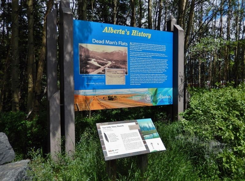
Other nearby markers. At least 2 other markers are within 10 kilometers of this marker, measured as the crow flies. Dead Man's Flats (here, next to this marker); Coal Train Comin' (approx. 9.2 kilometers away).
Related markers. Click here for a list of markers that are related to this marker. Dead Man’s Flats
Also see . . . Nakoda People.
The Nakoda (also known as Stoney or Îyârhe Nakoda) are an Indigenous people in Western Canada and, originally, the United States. They used to inhabit large parts of what is now Alberta, Saskatchewan and Montana, but their reserves are now located in Alberta and in Saskatchewan. Through their language they are related to the Dakota and Lakota nations of the Great Plains and the Rocky Mountains, part of the large Sioux Nation. The name "Stoney" was given them by white explorers, because of their technique of using fire-heated rocks to boil broth in rawhide bowls. Alberta's Nakoda First Nation comprises three bands: Bearspaw, Chiniki and Wesley. The Stoney were "excluded" from Banff National Park between 1890 and 1920. In 2010 they were officially "welcomed back".(Submitted on August 10, 2022, by Cosmos Mariner of Cape Canaveral, Florida.)
Credits. This page was last revised on August 10, 2022. It was originally submitted on August 10, 2022, by Cosmos Mariner of Cape Canaveral, Florida. This page has been viewed 76 times since then and 10 times this year. Photos: 1, 2, 3, 4. submitted on August 10, 2022, by Cosmos Mariner of Cape Canaveral, Florida.


