Near Golden in Columbia-Shuswap, British Columbia — Canada’s West Coast (North America)
Kicking Horse Canyon
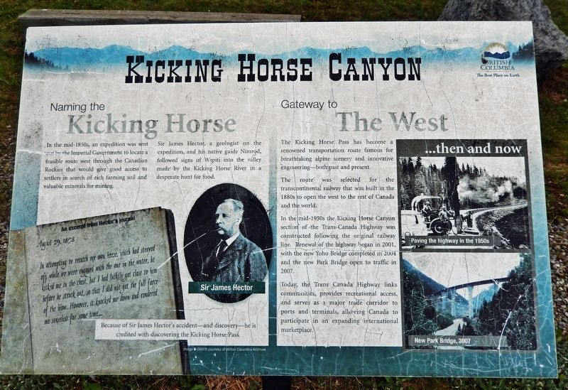
Naming the Kicking Horse
In the mid-1850s, an expedition was sent out by the Imperial Government to locate a feasible route west through the Canadian Rockies that would give good access to settlers in search of rich farming soil and valuable minerals for mining.
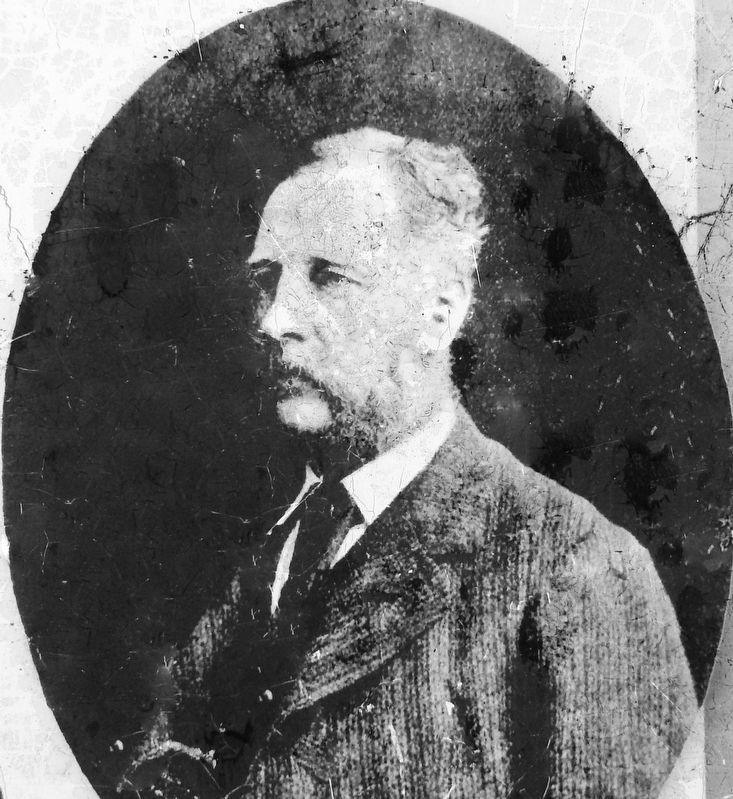
Sir James Hector, a geologist on the expedition, and his native guide Nimrod, followed signs of Wapiti into the valley made by the Kicking Horse River in a desperate hunt for food.
An excerpt from Hector’s journal
August 29, 1858
In attempting to recatch my own horse, which had strayed off while we were engaged with the one in the water, he kicked me in the chest, but I had luckily got close to him before he struck out, so that I did not get the full force of the blow. However, it knocked me down and rendered me senseless for some time…
Because of Sir James Hector’s accident — and discovery — he is credited with discovering the Kicking Horse Pass.
Gateway to the West
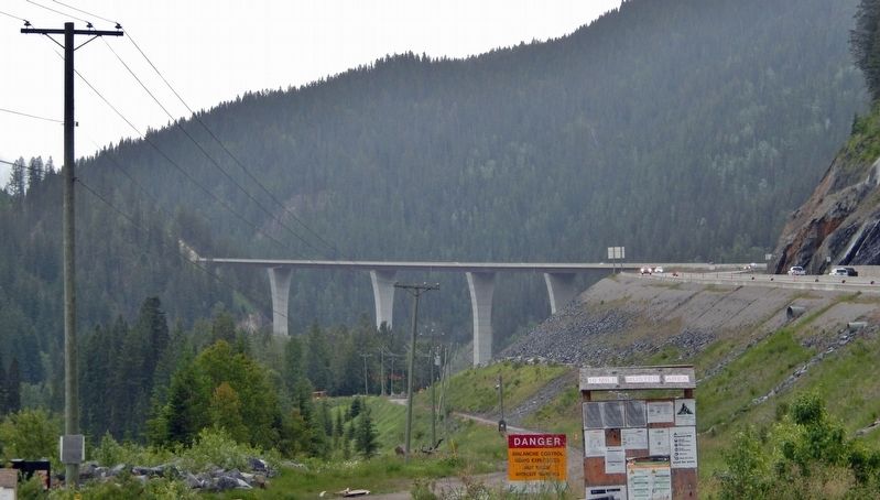
The Kicking Horse Pass has become a renowned transportation route famous for breathtaking alpine scenery and innovative engineering — both past and present.
The route was selected for the transcontinental railway that was built in the 1880s to open the west to the rest of Canada and the world.
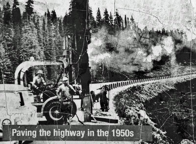
In the mid-1950s the Kicking Horse Canyon section of the Trans-Canada Highway was constructed following the original railway line. Renewal of the highway began in 2001, with the new Yoho Bridge completed in 2004 and the new Park Bridge open to traffic in 2007.
Today, the Trans-Canada Highway links communities, provides recreational access, and serves as a major trade corridor to ports and terminals, allowing Canada to participate in an expanding international marketplace.
Topics. This historical marker is listed in these topic lists: Bridges & Viaducts • Industry & Commerce • Railroads & Streetcars • Roads & Vehicles. A significant historical date for this entry is August 29, 1858.
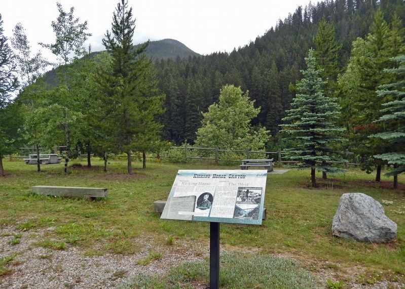
Location. 51° 17.331′ N, 116° 49.561′ W. Marker is near Golden, British Columbia, in Columbia-Shuswap. Marker can be reached from Trans-Canada Highway (Provincial Highway 1) 11.5 kilometers east of Provincial Highway 95, on the left when traveling east. Marker is located in the Kicking Horse Rest Area, overlooking the Kicking Horse River. Touch for map. Marker is in this post office area: Golden BC V0A 1H0, Canada. Touch for directions.
Other nearby markers. At least 1 other marker is within 10 kilometers of this marker, measured as the crow flies. Golden Sikhs (approx. 9 kilometers away).
Also see . . .
1. Kicking Horse River.
The Kicking Horse River was named in 1858, when James Hector, a member of the Palliser Expedition, reported being kicked by his packhorse while exploring the river. Hector named the river and the associated pass as a result of the incident. The Kicking Horse Pass, which connects through the Rockies to the valley of the Bow River, was the route through the mountains subsequently taken by the Canadian Pacific Railway when it was constructed during the 1880s.(Submitted on August 11, 2022, by Cosmos Mariner of Cape Canaveral, Florida.)
2. Kicking Horse Canyon makes major progress.
(DCN-JOC News Services June 9, 2022) “The engineering needed to upgrade Highway 1 through the Kicking Horse Canyon is absolutely extraordinary,” said Rob Fleming, B.C.’s minister of transportation and infrastructure. “The first year of construction has been challenging, but excellent progress has been made. When completed, these major improvements to this section of highway will make travel better and safer for all who use it.” This phase of the project involves realigning and widening 4.8 kilometres of the Trans-Canada Highway through the canyon. The work includes construction of four new bridges and nine new viaducts. The project is slated for completion in winter 2023-24.(Submitted on August 11, 2022, by Cosmos Mariner of Cape Canaveral, Florida.)
Credits. This page was last revised on August 11, 2022. It was originally submitted on August 10, 2022, by Cosmos Mariner of Cape Canaveral, Florida. This page has been viewed 137 times since then and 18 times this year. Photos: 1. submitted on August 10, 2022, by Cosmos Mariner of Cape Canaveral, Florida. 2, 3, 4, 5. submitted on August 11, 2022, by Cosmos Mariner of Cape Canaveral, Florida.
