Waterside Promenade in Norfolk, Virginia — The American South (Mid-Atlantic)
Ferries to Portsmouth and Berkley
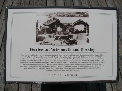
Photographed by Scott Rollins, June 1, 2009
1. Ferries to Portsmouth and Berkley Marker
Erected by City of Norfolk.
Topics. This historical marker is listed in this topic
this page online
Location. 36° 50.62′ N, 76° 17.464′ W. Marker is in Norfolk, Virginia. It is in Waterside Promenade. It can be reached from Waterside Drive. Along the Elizabeth River next to the ferry landing behind The Waterside building. Touch for map. Marker is at or near this postal address: 333 Waterside Drive, Norfolk VA 23510, United States of America. Touch for directions.

Regionally, this marker is in Hampton Roads, specifically in Coastal Virginia, and in the Hampton Roads Metropolitan Area. It is also in the American South, specifically in the Upper South, in the Tidewater, and on the Eastern Seaboard. Globally, it is in the North Atlantic Region, North America, the Western Hemisphere, the Western World, and the Anglosphere. Historically, it finds itself in what was once the territory of the Mississippian Culture, one of the original Thirteen Colonies, one of the Confederate States of America, and the Antebellum South.
Other nearby markers. At least 8 other markers are within walking distance of this marker: The Cannonball Trail (here, next to this marker);
Photographed by Scott Rollins, June 1, 2009
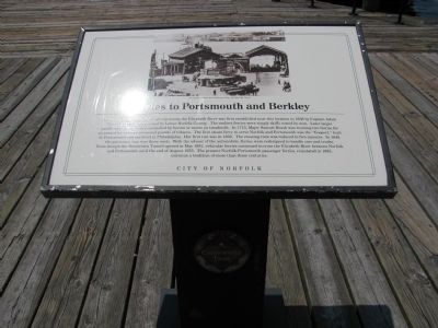
2. Ferries to Portsmouth and Berkley Marker
Additional keywords. Cannonball Trail
Photographed by Brandon D Cross, January 18, 2022
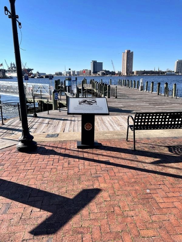
3. Ferries to Portsmouth and Berkley Marker
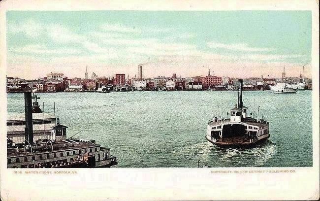
Postcard by the Detroit Publishing Company, 1905
4. Water Front, Norfolk, Va.
Two ferries are visible here in the foreground, with Portsmouth (right) and Berkley (left) visible in the background.
Credits. This page was last revised on October 26, 2023. It was originally submitted on June 29, 2009, by Kristin Rollins of Portsmouth, Virginia. This page has been viewed 1,927 times since then and 82 times this year. Photos: 1, 2. submitted on June 29, 2009, by Kristin Rollins of Portsmouth, Virginia. 3. submitted on January 18, 2022, by Brandon D Cross of Flagler Beach, Florida. 4. submitted on October 7, 2015. • Craig Swain was the editor who published this page.
