Near Tiburon in Marin County, California — The American West (Pacific Coastal)
Backcountry
Shaped by People
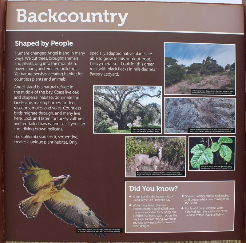
Humans changed Angel Island in many ways. We cut trees, brought animals, and plants, dug into the mountain, paved roads, and erected buildings. Yet nature persists, creating habitat for countless plants and animals.
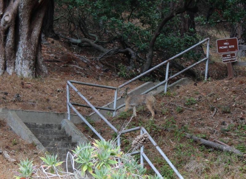
Angel Island is a natural refuge in the middle of the bay. Coast live oak and chaparral habitats dominate the landscape, making homes for deer, racoons, moles, and voles. Countless birds migrate through, and many live here. Look and listen for turkey vultures and red-tailed hawks, and see if you can spot diving brown pelicans.
The California state rock, serpentine, creates a unique plant habitat. Only specially adapted native plants are able to grow in this nutrient-poor, heavy-metal soil. Look for this green rock with black flecks in hillsides near Battery Ledyard.
Did You Know?
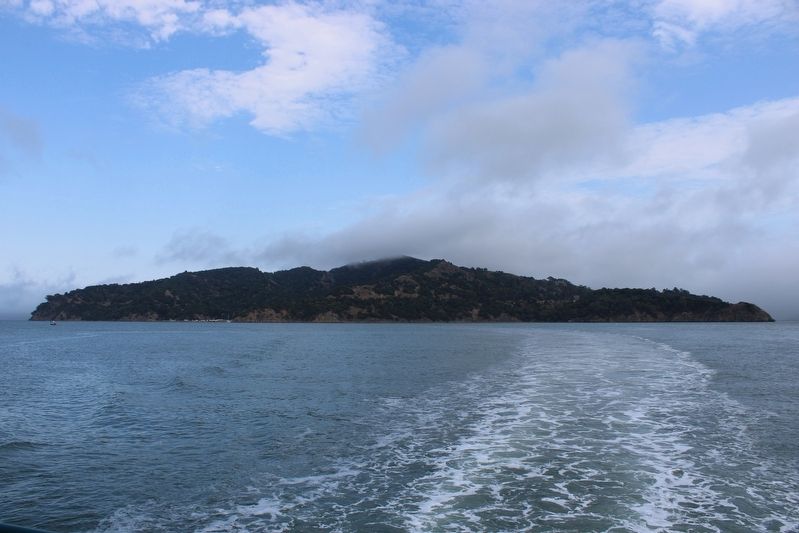
•Angel Island is the largest natural island in the San Francisco Bay.
• While many island deer are descended from black-tailed deer the army imported for hunting, it is possible some swam across the bay. Deer are fast, strong swimmers and take to water to birth fawns or avoid danger.
• Squirrels, rabbits, skunks, rattlesnakes, and large predators are missing from the island.
• Eighty acres of eucalyptus were removed from the south side of the island to restore chaparral habitat.
Right Panel
Discover
Rest, Look, Listen
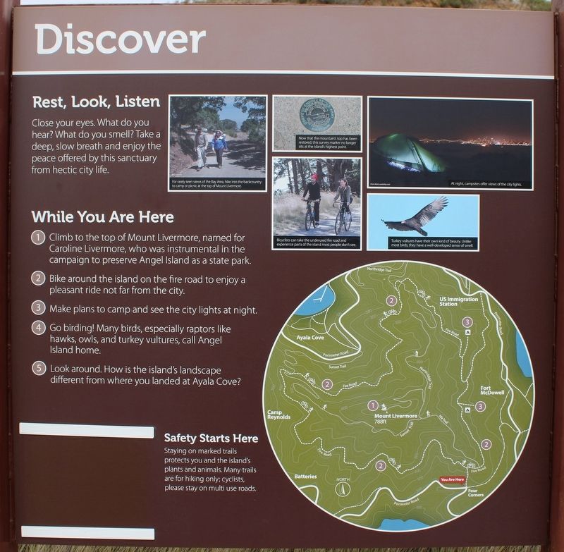
Close your eyes. What do you hear? What do you smell? Take a deep, slow breath and enjoy the peace offered by this sanctuary from hectic city life.
While You Are Here
1. Climb to the top of Mount Livermore, named for Caroline Livermore, who was instrumental in the campaign to preserve Angel Island as a state park.
2. Bike around the island on the fire road to enjoy a pleasant ride not far from the city.
3. Make plans to camp and see the city lights at night.
4. Go birding! Many birds, especially raptors like hawks, owls, and turkey vultures, call Angel Island home.
5. Look around. How is the island’s landscape different from where you landed at Ayala Cove?
Safety Starts Here
Staying on marked trails protects you and the island’s plants and animals. Many trails are for hiking only; cyclists, please stay on multi use roads.
Left Panel
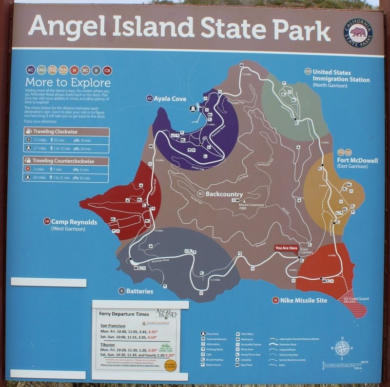
Angel Island State Park
(map)
Erected by California Department of Parks & Recreation.
Topics. This historical marker is listed in these topic lists: Animals • Environment • Parks & Recreational Areas.
Location. 37° 51.438′ N, 122° 25.51′ W. Marker is near Tiburon, California, in Marin County. Angel Island is located north of Alcatraz Island and is the largest island in the San Francisco Bay. It is accessed by ferry, private boat, watercraft, or kayak. Touch for map. Marker is in this post office area: Belvedere Tiburon CA 94920, United States of America. Touch for directions.
Other nearby markers. At least 8 other markers are within walking distance of this marker. Nike Missile Site (about 800 feet away, measured in a direct line); Fort McDowell South (approx. ¼ mile away); Play Games (approx. 0.3 miles away); Processing People and Paper (approx. 0.4 miles away); 600 Bunkmates (approx. 0.4 miles away); Fort McDowell’s General Store (approx. 0.4 miles away); Ministering to all Faiths (approx. 0.4 miles away); Guarding the Post (approx. 0.4 miles away). Touch for a list and map of all markers in Tiburon.
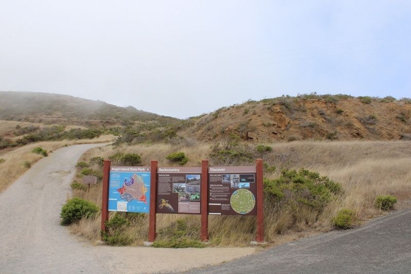
More about this marker. The three panels are mounted between four metal posts.
Regarding Backcountry. The entire island is a state park, except for Point Blunt on the southeastern tip, which is controlled by the U.S. Coast Guard.
Also see . . . Natural History.
"Before the influence of human residence and use, the flora and fauna of Angel Island were very similar to those of nearby mainland areas in Marin County. North- and east-facing slopes were covered with oak woodland, while native grasses and north coast scrub were predominant on west and south-facing slopes. Indian use of fire almost certainly accounts for the extension of grassland environment and the restriction of forest and brush land that is apparent in early paintings and photographs of the island."(Submitted on August 12, 2022, by Joseph Alvarado of Livermore, California.)
Credits. This page was last revised on August 29, 2022. It was originally submitted on August 12, 2022, by Joseph Alvarado of Livermore, California. This page has been viewed 219 times since then and 43 times this year. Photos: 1, 2, 3, 4, 5, 6. submitted on August 12, 2022, by Joseph Alvarado of Livermore, California. • Syd Whittle was the editor who published this page.
