Near Mechanicsburg in Hampshire County, West Virginia — The American South (Appalachia)
The Ditch as a Second Line of Defense
Inscription.
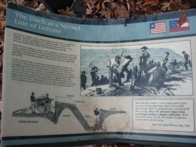
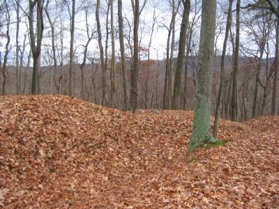
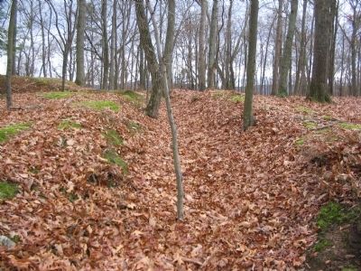
Around the outside of the central redoubt is the ditch, a significant obstacle attackers would have to climb through to assault the redoubt. At Fort Mill Ridge, the ditch also appears to have been used as a trench from which defending infantry could fire.
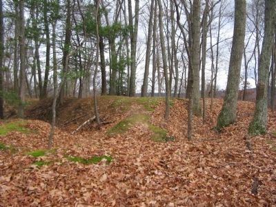
From the two southern corners of the redoubt, extensions, or covered ways, connect the ditch to the outer ring of entrenchments. The east-west line created by the covered ways and the ditch of the redoubt provided a second line of defense from attack down the ridge from the south.
At the corners of the redoubt are projecting earthen mounds, or traverses. These projections had several defensive purposes. They strengthened the corner by providing a location in the ditch for fire from the corner as well as a crossing fire along the face of the redoubt. The traverses provided protection for men in one segment of the ditch from explosions in an adjacent segment. They also helped prevent attackers from firing directly down the line of the ditch from the side. Additionally, the traverses could have been used as an additional earthwork from behind which to fire at attackers.
Tues 26. fair wether. I was wagon gard today. we went 8 mils after hay. thair was a drill this eaving. Wed 27. pleasant day. we had drill this eaving. Thur 28. pleasant day I was on furtigue today a diggin refell pits. thair was drill today. Fri 29. the wether is pleasnt we had dress parid today.
Diary of Joshua Winters, May, 1863.
Topics. This historical marker is listed in these topic lists: Forts and Castles • War, US Civil. A significant historical year for this entry is 1863.
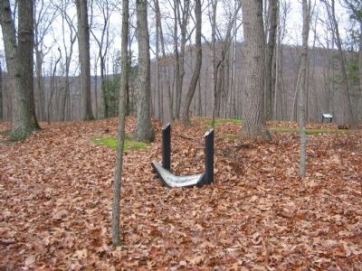
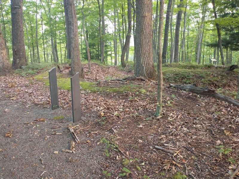
Location. Marker is missing. It was located near 39° 19.422′ N, 78° 47.625′ W. Marker was near Mechanicsburg, West Virginia, in Hampshire County. Marker could be reached from Fort Mill Ridge Park Road, on the right when traveling east. Located at trail stop 6 on the tour of Fort Mill Ridge Park. Touch for map. Marker was in this post office area: Burlington WV 26710, United States of America. Touch for directions.
Other nearby markers. At least 8 other markers are within walking distance of this location. Interior of the Central Redoubt (a few steps from this marker); The Central Redoubt (within shouting distance of this marker); An Outpost in Enemy Territory (within shouting distance of this marker); Control of the Mechanicsburg Gap (within shouting distance of this marker); Engagement with McNeill's Rangers (within shouting distance of this marker); Abandonment of Fort Mill Ridge (within shouting distance of this marker); Construction of Fort Mill Ridge (within shouting distance of this marker); The Civil War in the South Branch Valley (about 300 feet away, measured in a direct line). Touch for a list and map of all markers in Mechanicsburg.
More about this marker. On the lower left of the marker is a diagram showing the profile of the works. On the upper right is an illustration showing soldiers at work constructing fortifications.
Credits. This page was last revised on August 14, 2022. It was originally submitted on December 10, 2009, by Craig Swain of Leesburg, Virginia. This page has been viewed 998 times since then and 7 times this year. Last updated on August 12, 2022, by Craig Doda of Napoleon, Ohio. Photos: 1, 2. submitted on December 10, 2009, by Craig Swain of Leesburg, Virginia. 3. submitted on August 12, 2022, by Craig Doda of Napoleon, Ohio. 4, 5, 6. submitted on December 10, 2009, by Craig Swain of Leesburg, Virginia. • Bernard Fisher was the editor who published this page.
