Near Wilcox in Bratt's Lake No. 129, Saskatchewan — The Prairie Region (North America)
Wood Mountain — Fort Qu'Appelle Trail
A Saskatchewan Historic Site
— Preserve Our Heritage —
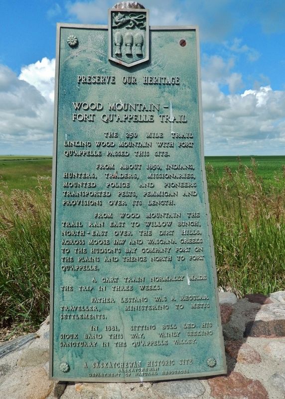
The 250 mile trail linking Wood Mountain with Fort Qu’Appelle passed this site.
From about 1850, Indians, hunters, traders, missionaries, mounted police and pioneers transported pelts, pemmican and provisions over its length.
From Wood Mountain the trail ran east to Willow Bunch, north-east over the Dirt Hills, across Moose Jaw and Wascana Creeks to the Hudson’s Bay Company fort on the plains and thence north to Fort Qu’Appelle.
A cart train normally made the trip in three weeks.
Father Lestanc was a regular traveler, ministering to Métis settlements.
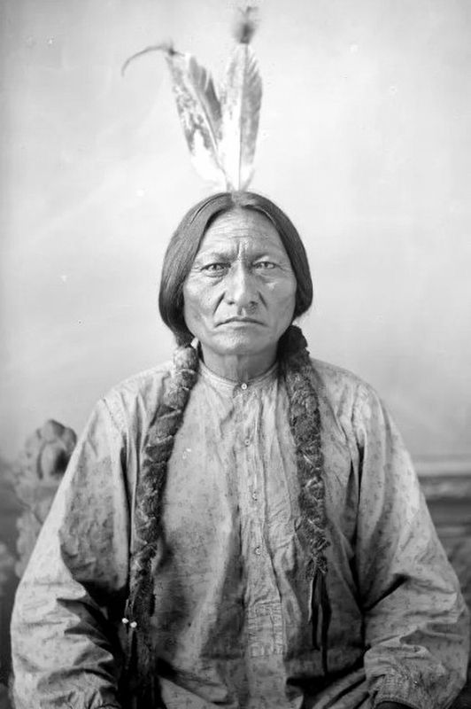
In 1881, Sitting Bull led his Sioux band this way, vainly seeking sanctuary in the Qu’Appelle Valley.
Erected by Saskatchewan Department of Natural Resources.
Topics. This historical marker is listed in these topic lists: Forts and Castles • Industry & Commerce • Native Americans • Roads & Vehicles. A significant historical year for this entry is 1850.
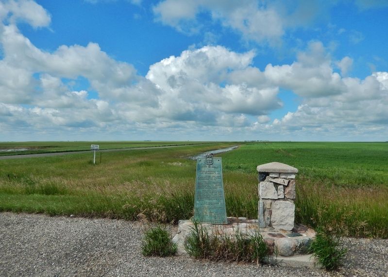
Location. 50° 8.085′ N, 104° 37.426′ W. Marker is near Wilcox, Saskatchewan, in Bratt's Lake No. 129. Marker is on CanAm Highway (Provincial Highway 6) 9 kilometers north of Provincial Highway 39, on the left when traveling north. Marker is located in a pull-out on the east side of the highway. Touch for map. Marker is in this post office area: Wilcox SK S0G 5E0, Canada. Touch for directions.
Other nearby markers. At least 1 other marker is within 18 kilometers of this marker, measured as the crow flies. Milestone World War Memorial (approx. 17.6 kilometers away).
Regarding Wood Mountain — Fort Qu'Appelle Trail. The Wood Mountain-Fort Qu'Appelle Trail was a provisional supply route during the height of the fur trade. From east to west it followed a general southwest direction from Fort Qu'Appelle, south of Regina, through the Dirt Hills ending in Wood Mountain. The trail functioned as an important provisional route supplying Hudson's Bay Company posts southwest of Fort Qu'Appelle. Lebret missionaries also used the trail extensively, as it was their only access to numerous Métis settlements. Chief Sitting Bull and his followers are reported to have used the trail when seeking refuge from American authorities in the late 19th century.
Also see . . .
1. Wood Mountain–Fort Qu’appelle Trail. Indigenous Saskatchewan Encyclopedia website entry (Submitted on September 28, 2023, by Larry Gertner of New York, New York.)
2. Wood Mountain Regional Park. Wikipedia entry (Submitted on September 28, 2023, by Larry Gertner of New York, New York.)
3. Father Joseph Lestanc. Oblate Communications website entry:
He was councilor for the mission vicariate and superior of the house in Saint-Boniface (1860-1870). He then left for Lebret (Qu’Appelle), Saskatchewan (1870-1874) and visited the buffalo hunters all the way to Cypress Hill Mountain and Willow Bunch, Saskatchewan (1870-1874), where he became the first resident priest and ministered to the missions of Lac-la-Pluie, Ontario (1870-1874). He then went to the diocese of Saint-Albert, was superior in Saint-Albert (1874-1877), master of novices (1875), and founder of Fort Pitt mission (1877). He visited Battleford, Saskatchewan and became the first superior there (1877-1882).(Submitted on August 14, 2022, by Cosmos Mariner of Cape Canaveral, Florida.)

via Canadian History Ehx, unknown
3. Sitting Bull
Canadian History Ehx website entry:
Sitting Bull moved his people into Canada to the Wood Mountain area, which at the time was part of the North West Territories but today is southern Saskatchewan. The first group of Sioux arrived in Canada in November of 1876, consisting of a dozen scouts who came to the trading post of Jean-Louis Legare at Wood Mountain. Eventually, 5,000 Sioux were in the Wood Mountain area.
Click for more information.
Credits. This page was last revised on September 28, 2023. It was originally submitted on August 14, 2022, by Cosmos Mariner of Cape Canaveral, Florida. This page has been viewed 167 times since then and 40 times this year. Photos: 1, 2. submitted on August 14, 2022, by Cosmos Mariner of Cape Canaveral, Florida. 3. submitted on September 28, 2023, by Larry Gertner of New York, New York.

