Tiburon in Marin County, California — The American West (Pacific Coastal)
The Tiburon Peninsula
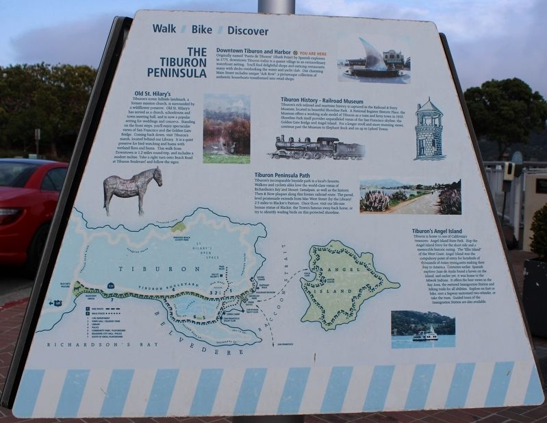
Originally name “Punta de Tiburon” (Shark Point) by Spanish explorers in 1775, downtown Tiburon today is a quaint village in an extraordinary waterfront setting. You’ll find delightful shops and enticing restaurants, many with decks overlooking the water and yacht club. Our charming Main Street includes unique “Ark Row”, a picturesque collection of authentic houseboats transformed into retail shops.
Old St. Hilary’s
Tiburon’s iconic hillside landmark, a former mission church, is surrounded by a wildflower preserve. Old St. Hilary’s has served as a church, schoolroom, and town meeting hall, and is now a popular setting for weddings and concerts. Standing on the front steps, you’ll enjoy spectacular views of San Francisco and the Golden Gate Bridge. Coming back down, visit Tiburon’s marsh, located behind our Library. It is a quiet preserve for bird watching and hums with wetland flora and fauna. This walk from downtown is 1.2 miles round-trip, and includes a modest incline. Take a right turn onto Beach Road at Tiburon Boulevard and follow the signs.
Tiburon History – Railroad Museum
Tiburon’s rich railroad and maritime history is captured in the Railroad & Ferry Museum, located in beautiful Shoreline Park. A National Register Historic Place., the museum offers a working scale model of Tiburon as a train and ferry town in 1910. Shoreline Park itself provides unparalleled vistas of the San Francisco skyline, the Golden Gate Bridge and Angel Island. For a longer stroll and more stunning views, continue past the Museum to Elephant Rock and on up to Lyford Tower.
Tiburon Peninsula Path
Tiburon’s incomparable bayside path is a local’s favorite. Walkers and cyclists alike love the world-class vistas of Richardson’s Bay and Mount Tamalpais, as well as the historic Then & Now plaques along this former railroad route. The paved, level promenade extends from Mar West Street (by the Library) 2.5 miles to Blackie’s Pasture. Once there, visit our life-size bronze stature of Blackie, the Town’s famous sway-back horse, or try to identify wading birds on this protected shoreline.
Tiburon’s Angel Island
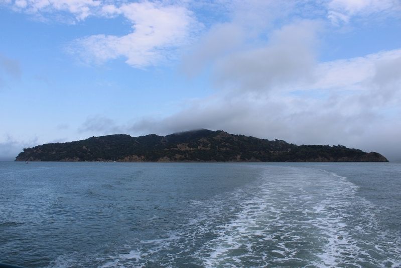
Tiburon is home to one of California’s treasures: Angel Island State Park. Hop the Angel Island Ferry for a short ride and a memorable historic outing. The “Ellis Island” of the West Coast, Angel Island was the compulsory point of entry for hundreds of thousands of Asian immigrants making their way to America. Centuries earlier, Spanish explorer Juan de Ayala found a haven on the island, and earlier yet, it was home to the Miwok Indians. It offers the best views in the Bay Area, the restored Immigration Station and hiking trails for all abilities. Explore on foot or bike, rent a Segway motorized two-wheeler, or take the tram. Guided tours of the Immigration Station are also available.
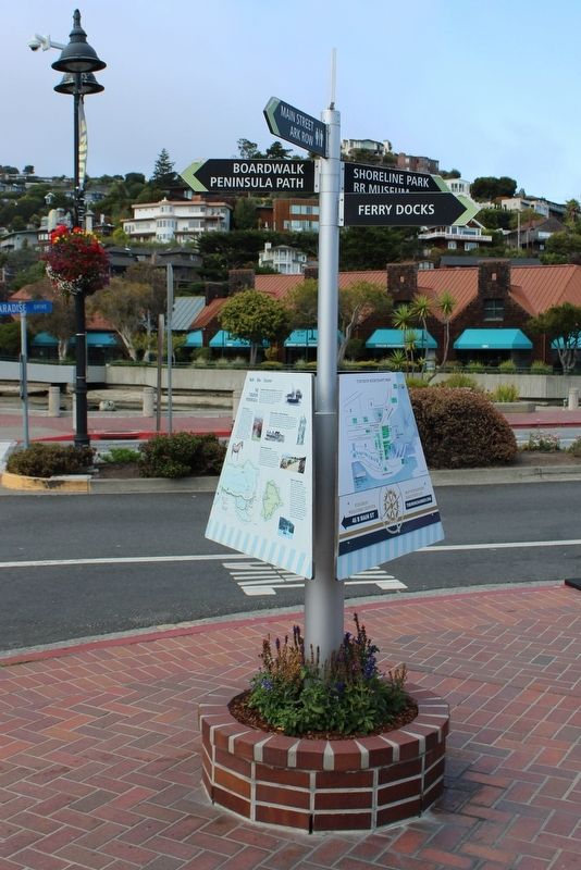
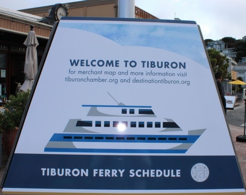
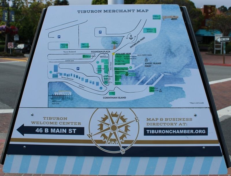
(The second and third panels contain ferry information and a map of the area.)
Topics. This historical marker is listed in these topic lists: Exploration • Native Americans • Railroads & Streetcars • Waterways & Vessels. A significant historical year for this entry is 1775.
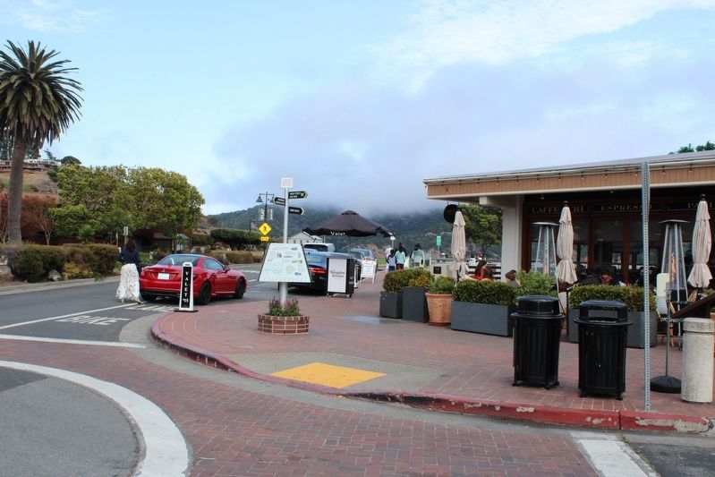
Location. 37° 52.408′ N, 122° 27.343′ W. Marker is in Tiburon, California, in Marin County. Marker is at the intersection of Tiburon Boulevard (California Route 131) and Main Street, on the right when traveling south on Tiburon Boulevard. The metal marker is mounted to a a decorative street sign post along with two informational panels. Touch for map. Marker is in this post office area: Belvedere Tiburon CA 94920, United States of America. Touch for directions.
Other nearby markers. At least 8 other markers are within walking distance of this marker. One of the Shortest Main Streets in America (here, next to this marker); Samuel Blake Chapman (a few steps from this marker); Northwestern Pacific (within shouting distance of this marker); McNeil’s Pioneer Boathouse (within shouting distance of this marker); The “Harbor Light” (within shouting distance of this marker); Tiburon Was a Railroad Town (about 300 feet away, measured in a direct line); 1925 Victorian Saloon (about 300 feet away); James Yeh Jau Liu (about 300 feet away). Touch for a list and map of all markers in Tiburon.
Credits. This page was last revised on August 29, 2022. It was originally submitted on August 15, 2022, by Joseph Alvarado of Livermore, California. This page has been viewed 124 times since then and 24 times this year. Photos: 1, 2, 3, 4, 5, 6. submitted on August 15, 2022, by Joseph Alvarado of Livermore, California. • Syd Whittle was the editor who published this page.
