Charles Town in Jefferson County, West Virginia — The American South (Appalachia)
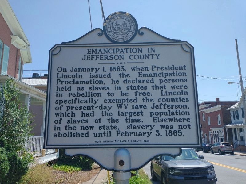
Emancipation In Jefferson County
Erected 2019 by West Virginia Archives & History.
Topics. This historical marker is listed in these topic lists: Abolition & Underground RR • War, US Civil. A significant historical date for this entry is January 1, 1863.
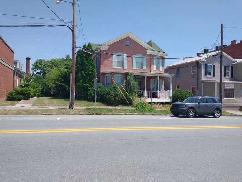
Location. 39° 17.428′ N, 77° 51.638′ W. Marker is in Charles Town, West Virginia, in Jefferson County. Marker is on North George Street (West Virginia Route 115) near East North Street, on the right when traveling north. Touch for map. Marker is at or near this postal address: 213 N George St, Charles Town WV 25414, United States of America. Touch for directions.
Other nearby markers. At least 8 other markers are within walking distance of this marker. Martin R. Delany (about 400 feet away, measured in a direct line); The First School for "Colored" in Jefferson County (about 400 feet away); Colonel Charles Washington (about 400 feet away); Explore the Washington Heritage Trail / Afoot in Historic Charles Town (about 400 feet away); Charles Washington's Town (about 400 feet away); Two Treason Trials (about 400 feet away); The Trial of John Brown (about 500 feet away); Charles Washington Hall (about 500 feet away). Touch for a list and map of all markers in Charles Town.
Credits. This page was last revised on August 20, 2022. It was originally submitted on August 16, 2022, by Craig Doda of Napoleon, Ohio. This page has been viewed 144 times since then and 18 times this year. Photos: 1, 2. submitted on August 16, 2022, by Craig Doda of Napoleon, Ohio. • Bernard Fisher was the editor who published this page.

