Ray in Steuben County, Indiana — The American Midwest (Great Lakes)
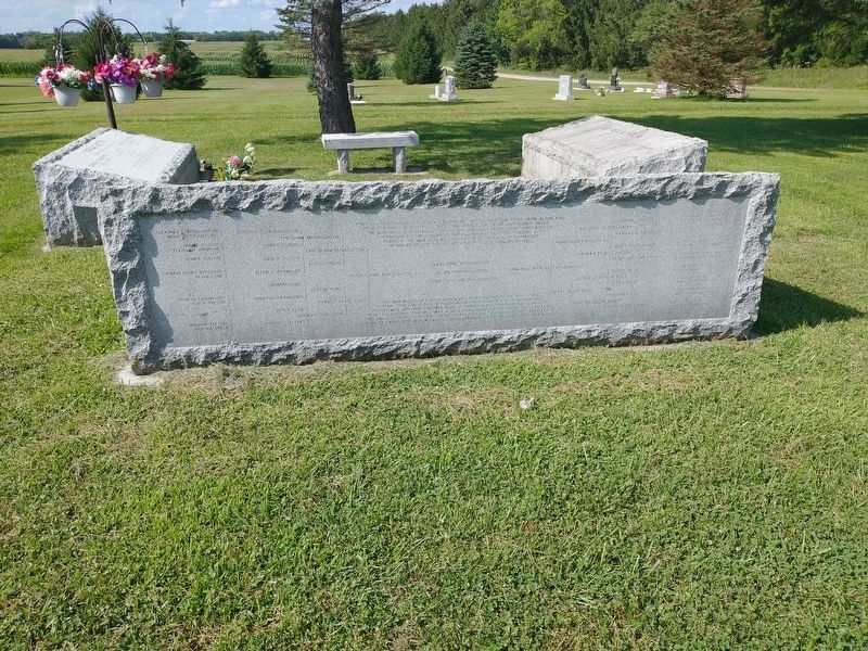
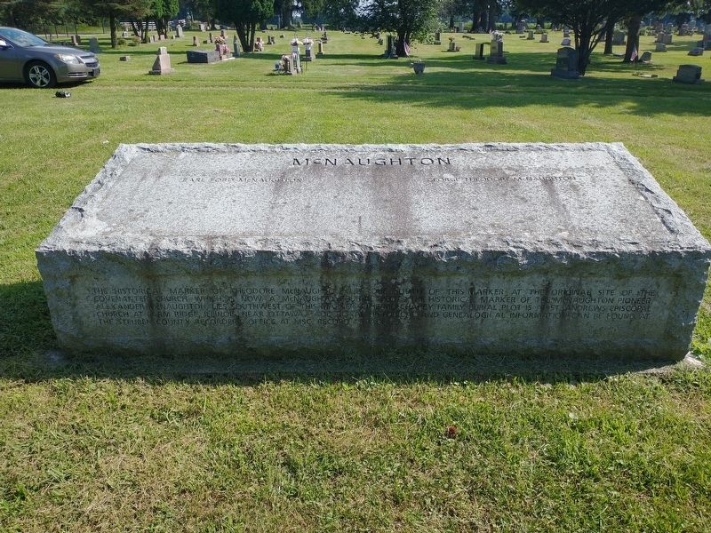
The Historical Marker Of Theodore McNaughton
Ford Blaine McNaughton was a descendant of the Scottish Kings from Alpine King of Scots through Robert II, including Alfred the Great and Robert Bruce. He was also a decedent of the English Kings from Egbert First King of the English to the Joinder of the English and Scottish thrones with Robert II. He was also related to the Steuben County Duguid Pioneers as well.
Lena Mae Mulchahey McNaughton was a decedent on the Mayflower Pilgrims, John and Elizabeth Tilley, Bridget Van Develde, and John Howland Bridget was orphaned the first year at Plymouth and was raised by John and Priscilla Alden. Lena Mae was also a decedent of the Terry Clock Makers and various patriots of the American Revolution. She was closely related to The Hazen Family for which various developments on Clear Lake have been named.
Topics. This historical marker is listed in these topic lists: Cemeteries & Burial Sites • Settlements & Settlers.
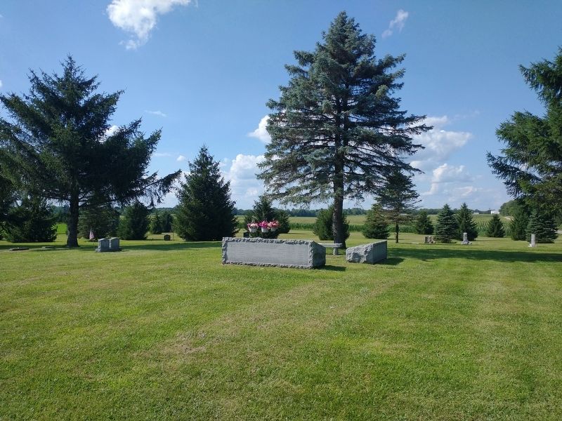
Location. 41° 45.236′ N, 84° 51.622′ W. Marker is in Ray, Indiana, in Steuben County. Marker is at the intersection of West Cora Lane and N. 700 E, on the left when traveling north on West Cora Lane. Touch for map. Marker is at or near this postal address: 750 W Cora Ln, Fremont IN 46737, United States of America. Touch for directions.
Other nearby markers. At least 8 other markers are within 4 miles of this marker, measured as the crow flies. The Kenneth And George Johnson Plot (here, next to this marker); Beth Hadene (Tredway) McNaughton (here, next to this marker); The Unknown Potawatomi (a few steps from this marker); Indiana's Northern Boundary Line (approx. 2 miles away); The Vistula Road (approx. 3.8 miles away); Steven A. Vaughn House (approx. 3.9 miles away); Michael-Sullins House (approx. 4 miles away); Fremont Indiana (approx. 4.1 miles away). Touch for a list and map of all markers in Ray.
Credits. This page was last revised on August 19, 2022. It was originally submitted on August 16, 2022, by Craig Doda of Napoleon, Ohio. This page has been viewed 112 times since then and 16 times this year. Photos: 1, 2, 3. submitted on August 16, 2022, by Craig Doda of Napoleon, Ohio. • Bill Pfingsten was the editor who published this page.


