Somerville in Burleson County, Texas — The American South (West South Central)
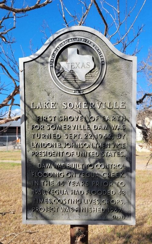
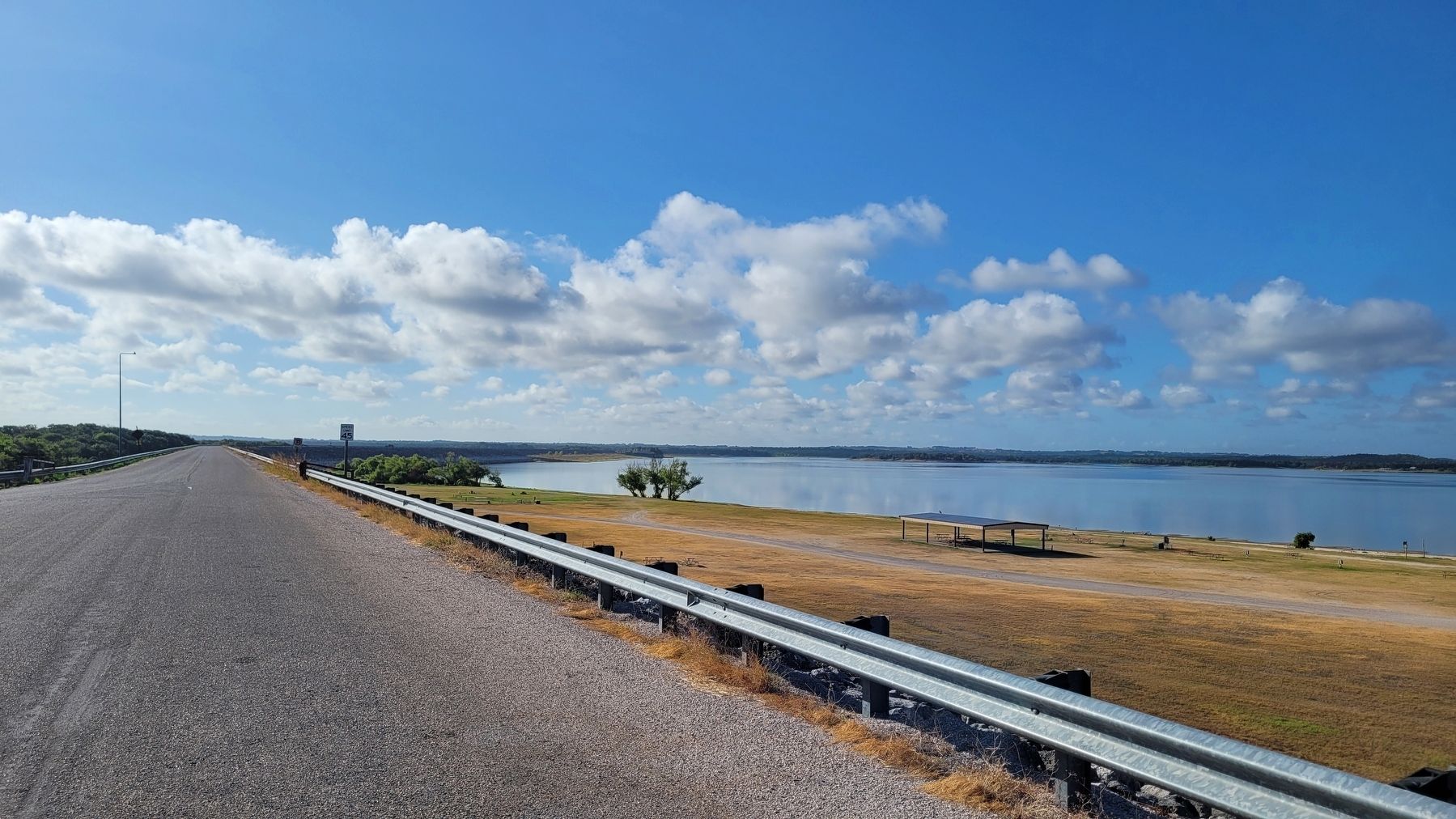
Lake Somerville
Erected 1968 by State Historical Survey Committee. (Marker Number 8640.)
Topics. This historical marker is listed in these topic lists: Disasters • Parks & Recreational Areas • Waterways & Vessels. A significant historical date for this entry is September 22, 1962.
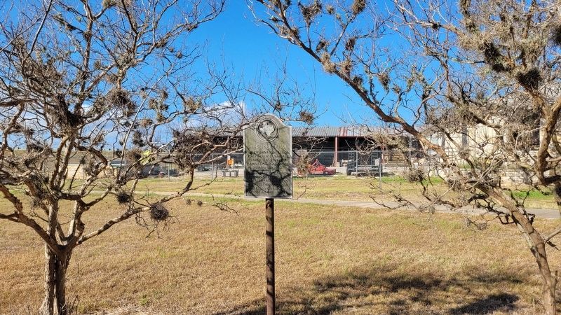
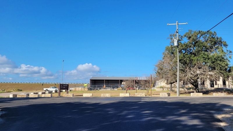
Location. 30° 20.199′ N, 96° 32.417′ W. Marker is in Somerville, Texas, in Burleson County. Marker is at the intersection of Thornberry Drive and 8th Street, on the right when traveling east on Thornberry Drive. The marker is located in front of the US Army Corps of Engineers building. Touch for map. Marker is at or near this postal address: 1560 Thornberry Drive, Somerville TX 77879, United States of America. Touch for directions.
Other nearby markers. At least 8 other markers are within walking distance of this marker. Somerville Stadium (approx. 0.3 miles away); Yegua Center at Somerville ISD (approx. 0.4 miles away); J.L. Woods’ Undertaking Company (approx. half a mile away); Thomas J. Gary (approx. 0.6 miles away); First United Methodist Church of Somerville (approx. 0.9 miles away); Somerville (approx. one mile away); James W. Lauderdale (approx. one mile away); 1906 Reunion of Hood's Texas Brigade (approx. one mile away). Touch for a list and map of all markers in Somerville.
Also see . . . Yegua Creek. Wikipedia
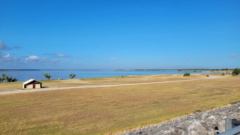
Yegua Creek is a river in Central Texas and is part of the Brazos River drainage basin. (Yegua is the Spanish word for mare.) Yegua Creek forms in Lee County at the confluence of the Middle Yegua Creek and East Yegua Creek about three miles west of Somerville Lake. It is the primary tributary to form Somerville Lake. The Yegua flows east and becomes part of the Burleson County line for about 31 miles and then joins the Brazos River in southeastern Washington County. The Yegua below the Somerville Dam is a slow-moving, gentle river but is nevertheless used for some mild recreational canoeing and kayaking.(Submitted on August 16, 2022, by James Hulse of Medina, Texas.)
Credits. This page was last revised on August 16, 2022. It was originally submitted on August 16, 2022, by James Hulse of Medina, Texas. This page has been viewed 348 times since then and 52 times this year. Photos: 1, 2, 3, 4, 5. submitted on August 16, 2022, by James Hulse of Medina, Texas.
