Near Sioux Falls in Lincoln County, South Dakota — The American Midwest (Upper Plains)
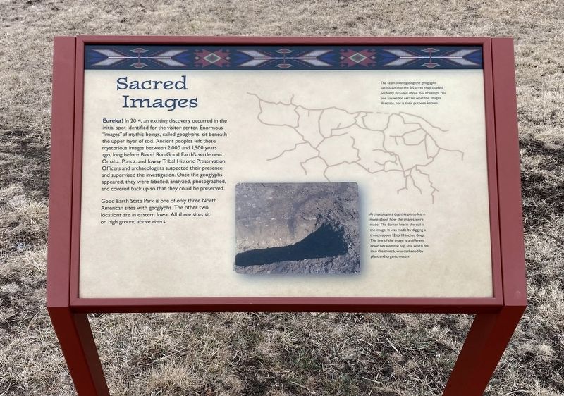
Sacred Images
Good Earth State Park is one of only three North American sites with geoglyphs. The other two locations are in eastern lowa. All three sites sit on high ground above rivers.
Captions:
The team investigating, the geogypns estimated that the 3.5 acres they studied probably included about IV0 drawings. No one knows for certain what the imazes illustrate, nor is their purpose known.
Archaeologists dug this pit to learn more about how the images were made The darker line in the soil is the image. It was made by digging a trench about 12 to 18 inches deep. The line of the image is a different color because the top soil. which fell into the trench, was darkened by plant and organic matter.
Erected by South Dakota Department of Game, Fish and Parks.
Topics. This historical marker is listed in these topic lists: Anthropology & Archaeology • Native Americans. A significant historical year for this entry is 2014.
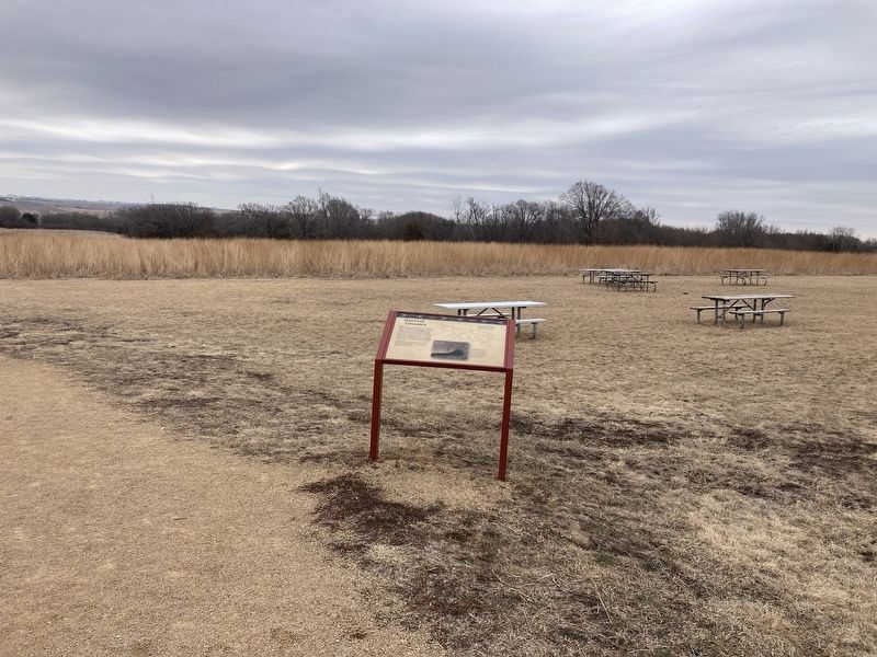
Location. 43° 28.628′ N, 96° 35.642′ W. Marker is near Sioux Falls, South Dakota, in Lincoln County. Marker can be reached from 480th Avenue (County Highway 135) south of Trading Post Road. Located by the visitor center. Touch for map. Marker is at or near this postal address: 26924 480th Ave, Sioux Falls SD 57108, United States of America. Touch for directions.
Other nearby markers. At least 8 other markers are within walking distance of this marker. 1600s (a few steps from this marker); 1300s (a few steps from this marker); 1714 (a few steps from this marker); 1870s (within shouting distance of this marker); 1888 (within shouting distance of this marker); 1870s to the Present (within shouting distance of this marker); 1980s (within shouting distance of this marker); Why the Name “Good Earth”? (within shouting distance of this marker). Touch for a list and map of all markers in Sioux Falls.
Credits. This page was last revised on August 21, 2022. It was originally submitted on August 16, 2022, by Connor Olson of Kewaskum, Wisconsin. This page has been viewed 228 times since then and 52 times this year. Photos: 1, 2. submitted on August 16, 2022, by Connor Olson of Kewaskum, Wisconsin. • Bill Pfingsten was the editor who published this page.

