Princess Anne in Virginia Beach, Virginia — The American South (Mid-Atlantic)
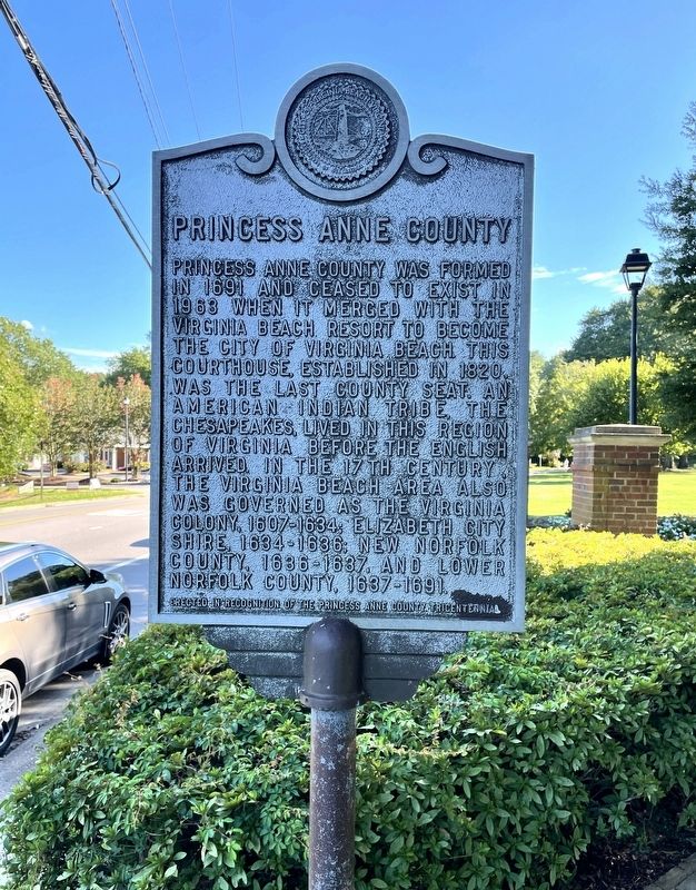
Princess Anne County
Erected in recognition of the Princess Anne Tricentennial
Topics. This historical marker is listed in these topic lists: Colonial Era • Native Americans • Settlements & Settlers. A significant historical year for this entry is 1691.
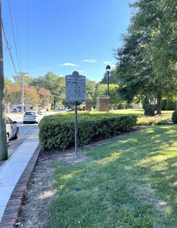
Location. 36° 45.074′ N, 76° 3.241′ W. Marker is in Virginia Beach, Virginia. It is in Princess Anne. Marker is on North Landing Road (Virginia Route 149) south of Princess Anne Road (Virginia Route 165), on the right when traveling south. Marker located in front of the old Princess Anne Courthouse. Touch for map. Marker is in this post office area: Virginia Beach VA 23456, United States of America. Touch for directions.
Other nearby markers. At least 8 other markers are within 7 miles of this marker, measured as the crow flies. Sgt. Miles James (about 300 feet away, measured in a direct line); Peace Monument (approx. 4.4 miles away); VFW Veterans Memorial (approx. 5.2 miles away); Eastern Shore Chapel (approx. 5.2 miles away); The Flame of Hope (approx. 5.2 miles away); Flame Of Hope (approx. 5.2 miles away); Tree of Hope (approx. 5.2 miles away); Francis Land House (approx. 6.4 miles away). Touch for a list and map of all markers in Virginia Beach.
Also see . . . Princess Anne County - Virginia Places. (Submitted on August 17, 2022, by Brandon D Cross of Flagler Beach, Florida.)
Credits. This page was last revised on February 1, 2023. It was originally submitted on August 17, 2022, by Brandon D Cross of Flagler Beach, Florida. This page has been viewed 178 times since then and 34 times this year. Photos: 1, 2. submitted on August 17, 2022, by Brandon D Cross of Flagler Beach, Florida. • Bernard Fisher was the editor who published this page.

