Near Lac du Bonnet, Manitoba — Canada’s Prairie Region (North America)
Winnipeg River
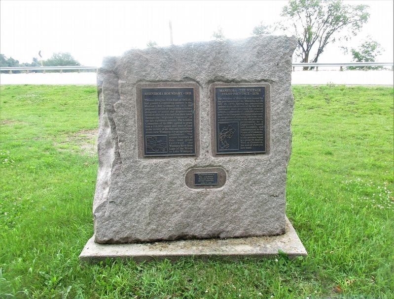
Assiniboia Boundary - 1811
— Manitoba - The Postage Stamp Province - 1870 —
Plaque#1
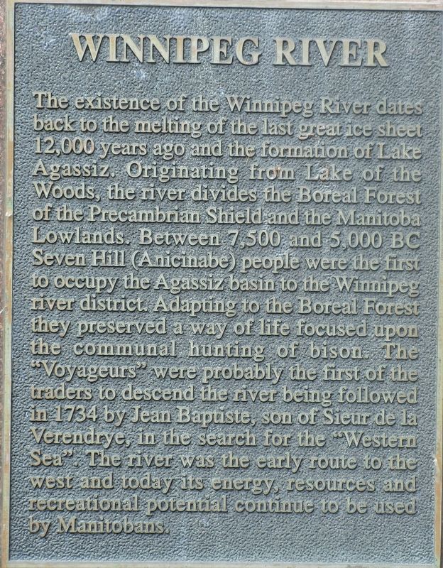
Winnipeg River
The existence of the Winnipeg River dates back to the melting of the last great ice sheet 12,000 years ago and the formation of Lake Agassiz. Originating from Lake of the Woods, the river divides the Boreal Forest of the Precambrian Shield and the Manitoba Lowlands. Between 7,500 and 5,000 BC, Seven Hill (Anicinabe) people were the first to occupy the Agassiz basin to the Winnipeg river district. Adapting to the Boreal Forest, they preserved a way of life focused upon the communal hunting of bison. The “Voyageurs” were probably the first of the traders to descend the river being followed in 1734 by Jean Baptiste, son of Sieur de la Verendrye, in the search for the “Western Sea”. The river was the early route to the west and today its energy, resources and recreational potential continue to be used by Manitobans.
Plaque#2
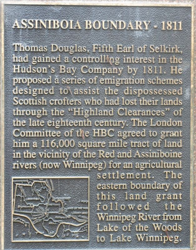
Assiniboia Boundary - 1811
Thomas Douglas, Fifth Earl of Selkirk, had gained a controlling interest in the Hudson’s Bay Company by 1811. He proposed a series of emigration schemes designed to assist the dispossessed Scottish crofters who had lost their lands through the “Highland Clearances” of the late eighteenth century. The London Committee of the HBC agreed to grant him a 116,000 square mile tract of land in the vicinity of the Red and Assiniboine rivers (now Winnipeg) for an agricultural settlement. The eastern boundary of this land grant followed the Winnipeg River from Lake of the Woods to Lake Winnipeg.
Plaque #3
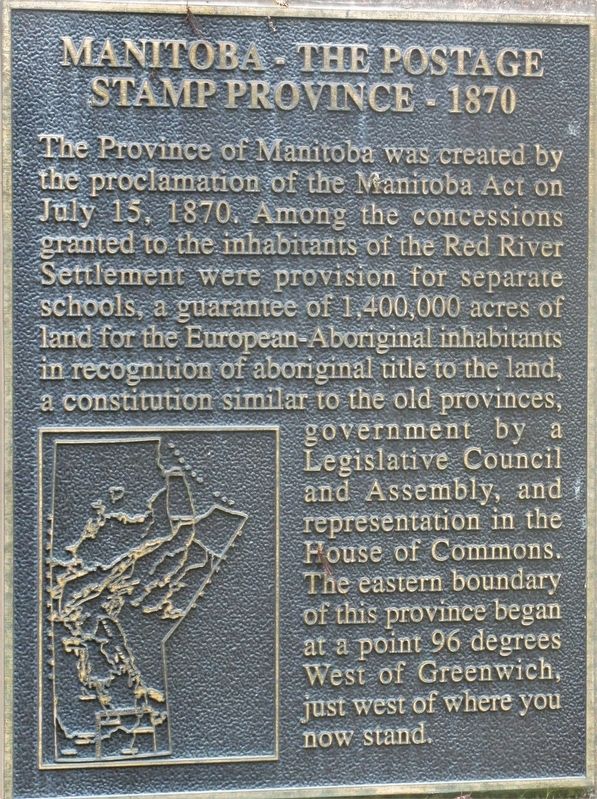
Manitoba - The Postage Stamp Province - 1870
The Province of Manitoba was created by the proclamation of the Manitoba Act on July 15, 1870. Among the concessions granted to the inhabitants of the Red River Settlement were provision for separate schools, a guarantee of 1,400,000 acres of land for the European-Aboriginal inhabitants in recognition of aboriginal title to the land, a constitution similar to the old provinces, government by a Legislative Council and Assembly, and representation in the House of Commons. The eastern boundary of this province began at a point 96 degrees West of Greenwich, just west of where you now stand.
Erected 2000 by The Lac du Bonnet Municipal Heritage Advisory Committee.
Topics. This historical marker is listed in these topic lists: Native Americans • Settlements & Settlers • Waterways & Vessels.
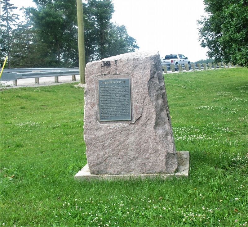
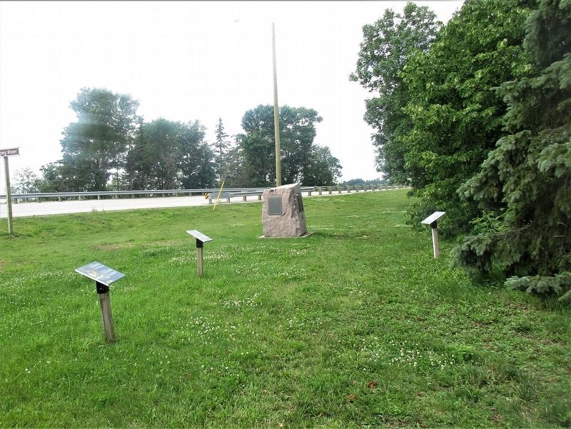
Location. 50° 17.023′ N, 95° 59.929′ W. Marker is near Lac du Bonnet, Manitoba. Marker is on Provincial Road 313 (Provincial Highway 313), on the left when traveling east. Marker is at the Winnipeg River Boat Launch roadside park, at the east end of the bridge. Touch for map. Marker is at or near this postal address: Old Pointe Road, Lac du Bonnet MB R0E 1A0, Canada. Touch for directions.
Other nearby markers. At least 4 other markers are within 6 kilometers of this marker, measured as the crow flies. First Airmail / James Richardson / Bush Pilots (approx. 5.2 kilometers away); Lac Du Bonnet Veterans Memorial (approx. 5.4 kilometers away); St Mary’s Polish Catholic Church (approx. 5.5 kilometers away); Lac du Bonnet Cemetery War Memorial and Honour Rolls (approx. 6.1 kilometers away).
Credits. This page was last revised on August 30, 2022. It was originally submitted on August 18, 2022, by Rev. Ronald Irick of West Liberty, Ohio. This page has been viewed 99 times since then and 12 times this year. Photos: 1, 2, 3, 4, 5, 6. submitted on August 18, 2022, by Rev. Ronald Irick of West Liberty, Ohio. • Andrew Ruppenstein was the editor who published this page.
