Winchester in Frederick County, Virginia — The American South (Mid-Atlantic)
Sheridan Moves To Battle
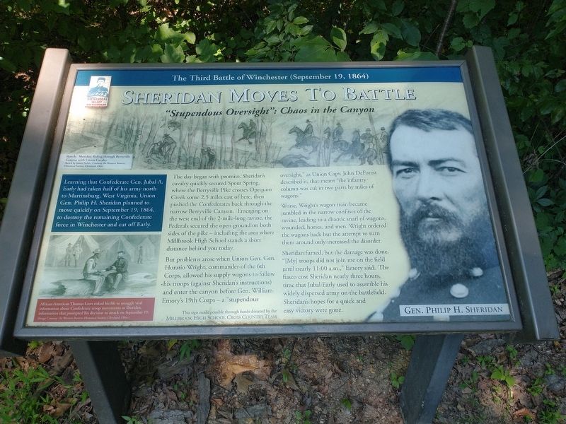
"Stupendous Oversight": Chaos is the Canyon
— The Third Battle of Winchester (September 19, 1864) —
The day began with promise. Sheridan's cavalry quickly secured Spout Spring, where the Berryville Pike crosses Opequon Creek some 2.5 miles east of here, then pushed the Confederates back through the narrow Berryville Canyon. Emerging on the west end of the 2-mile-long ravine, the Federals secured the open ground on both sides of the pike — including the area where Millbrook High School stands a short distance behind you today.
But problems arose when Union Gen. Gen. Horatio Wright, commander of the 6th Corps, allowed his supply wagons to follow his troops (against Sheridan's instructions) and enter the canyon before Gen. William Emory's 19th Corps — a "stupendous oversight," as Union Capt. John DeForest described it, that meant "the infantry column was cut in two parts by miles of wagons."
Worse, Wright's wagon train became jumbled in the narrow confines of the ravine, leading to a chaotic snarl of wagons, wounded, horses, and men. Wright ordered the wagons back but the attempt to turn them around only increased the disorder.
Sheridan fumed, but the damage was done. "[My] troops did not join me on the field until nearly 11:00 a.m.,” Emory said. The fiasco cost Sheridan nearly three hours, time that Jubal Early used to assemble his widely dispersed army on the battlefield. Sheridan's hopes for a quick and easy victory were gone.
(captions)
Sketch: Sheridan Riding through Berryville Canyon with Union Cavalry. Sketch by James Taylor. Courtesy the Western Reserve Historical Society, Cleveland, Ohio
African-American Thomas Laws risked his life to smuggle vital information about Confederate troop movements to Sheridan, information that prompted his decision to attack on September 19. (Image Courtesy the Western Reserve Historical Society, Cleveland, Ohio.)
Gen. Philip H. Sheridan
Topics. This historical marker is listed in this topic list: War, US Civil. A significant historical date for this entry is September 19, 1864.
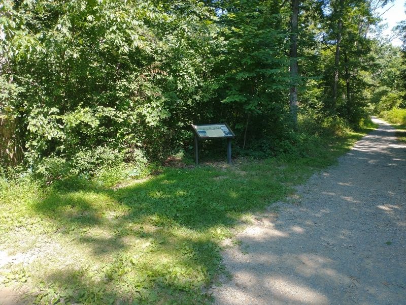
Location. 39° 11.655′ N, 78° 6.983′ W. Marker is in Winchester, Virginia, in Frederick County. Marker can be reached from First Woods Drive north of Millbrook Drive, on the left when traveling north. Located 0.1 miles northwest of Millbrook High School on the Third Battle of Winchester Trail. Touch for map. Marker is at or near this postal address: 251 First Woods Dr, Winchester VA 22603, United States of America. Touch for directions.
Other nearby markers. At least 8 other markers are within walking distance of this marker. Third Battle of Winchester (about 300 feet away, measured in a direct line); The Union Attacks (about 300 feet away); a different marker also named The Third Battle of Winchester (approx. 0.4 miles away); Grover's Attack (approx. 0.4 miles away); The Middle Field (approx. 0.4 miles away); Ash Hollow (approx. 0.4 miles away); “Shrapnel Rained On Us” (approx. 0.4 miles away); Jost Hite and Winchester (approx. half a mile away). Touch for a list and map of all markers in Winchester.
Also see . . . The Third Battle of Winchester. Shenandoah Valley Battlefields Foundation (Submitted on August 18, 2022.)
Credits. This page was last revised on August 18, 2022. It was originally submitted on August 18, 2022, by Craig Doda of Napoleon, Ohio. This page has been viewed 104 times since then and 26 times this year. Photos: 1, 2. submitted on August 18, 2022, by Craig Doda of Napoleon, Ohio. • Bernard Fisher was the editor who published this page.

