Winchester in Frederick County, Virginia — The American South (Mid-Atlantic)
Trying To Silence The Guns
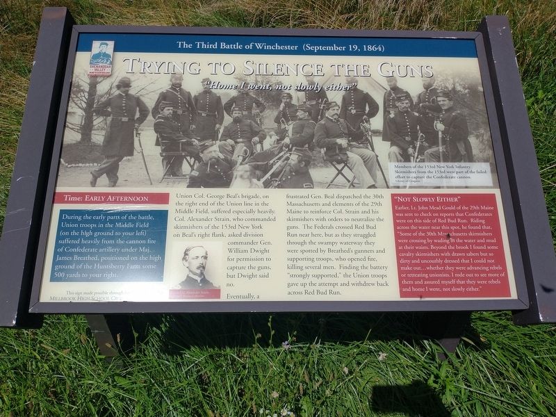
Home I went, not slowly either"
— The Third Battle of Winchester (September 19, 1864) —
During the early parts of the battle, Union troops in the Middle Field (on the high ground to your left) suffered heavily from the cannon fire of Confederate artillery under Maj. James Breathed, positioned on the high ground of the Huntsberry Farm some 500 yards to your right.
Union Col. George Beal's brigade, on the right end of the Union line in the Middle Field, suffered especially heavily. Col. Alexander Strain, who commanded skirmishers of the 153rd New York on Beal's right flank, asked division commander Gen. William Dwight for permission to capture the guns, but Dwight said no.
Eventually, a frustrated Gen. Beal dispatched the 30th Massachusetts and elements of the 29th Maine to reinforce Col. Strain and his skirmishers with orders to neutralize the guns. The Federals crossed Red Bud Run near here, but as they struggled through the swampy waterway they were spotted by Breathed's gunners and supporting troops, who opened fire, killing several men. Finding the battery "strongly supported,” the Union troops gave up the attempt and withdrew back across Red Bud Run.
"Not Slowly Either"
Earlier, Lt. John Mead Gould of the 29th Maine was sent to check on reports that Confederates were on this side of Red Bud Run. Riding across the water near this spot, he found that, "Some of the 30th Massachusetts skirmishers were crossing by wading in the water and mud at their waists. Beyond the brook 1 found some cavalry skirmishers with drawn sabers but so dirty and uncouthly dressed that I could not make out...whether they were advancing rebels or retreating unionists. I rode out to see more of them and assured myself that they were rebels and home I went, not slowly either."
(captions)
Members of the 153rd New York Infantry. Skirmishers from the 153rd were part of the failed effort to capture the Confederate canon. Library of Congress
Union Col. Alexander Strain. (Nicholas P. Picerno Collection)
Erected by Millbrook High School Cross Country Team.
Topics. This historical marker is listed in this topic list: War, US Civil. A significant historical date for this entry is September 19, 1864.
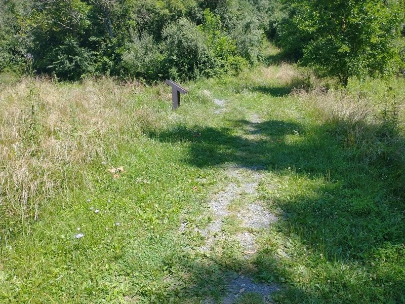
Location. 39° 12.057′ N, 78° 7.139′ W. Marker is in Winchester, Virginia, in Frederick County. Marker can be reached from Redbud Road (Virginia Route 661) 0.9 miles east of Martinsburg Pike (U.S. 11), on the right when traveling east. Located 0.9 miles south of the parking lot on the Third Battle of Winchester Trail north of Redbud Run. Touch for map. Marker is at or near this postal address: 541 Redbud Rd, Winchester VA 22603, United States of America. Touch for directions.
Other nearby markers. At least 8 other markers are within walking distance of this marker. “Shrapnel Rained On Us” (about 300 feet away, measured in a direct line); Southern Sharpshooters (approx. 0.2 miles away); Ten Thousand Devils (approx. ¼ mile away); Grover's Attack (approx. ¼ mile away); The Middle Field (approx. ¼ mile away); A Life In Bondage (approx. 0.3 miles away); The Huntsberry Farm (approx. 0.3 miles away); A Murderous Fire (approx. 0.3 miles away). Touch for a list and map of all markers in Winchester.
Also see . . . The Third Battle of Winchester. Shenandoah Valley Battlefields Foundation (Submitted on August 19, 2022.)
Credits. This page was last revised on August 19, 2022. It was originally submitted on August 18, 2022, by Craig Doda of Napoleon, Ohio. This page has been viewed 104 times since then and 29 times this year. Photos: 1, 2. submitted on August 18, 2022, by Craig Doda of Napoleon, Ohio. • Bernard Fisher was the editor who published this page.

