Mount Washington in Bullitt County, Kentucky — The American South (East South Central)
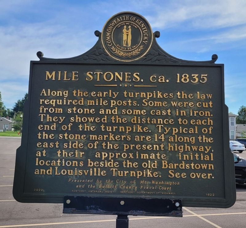
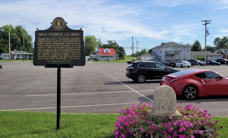
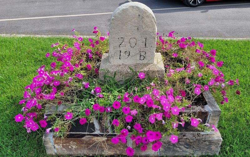
Mile Stones, ca. 1835
and the Bullitt County Fiscal Court
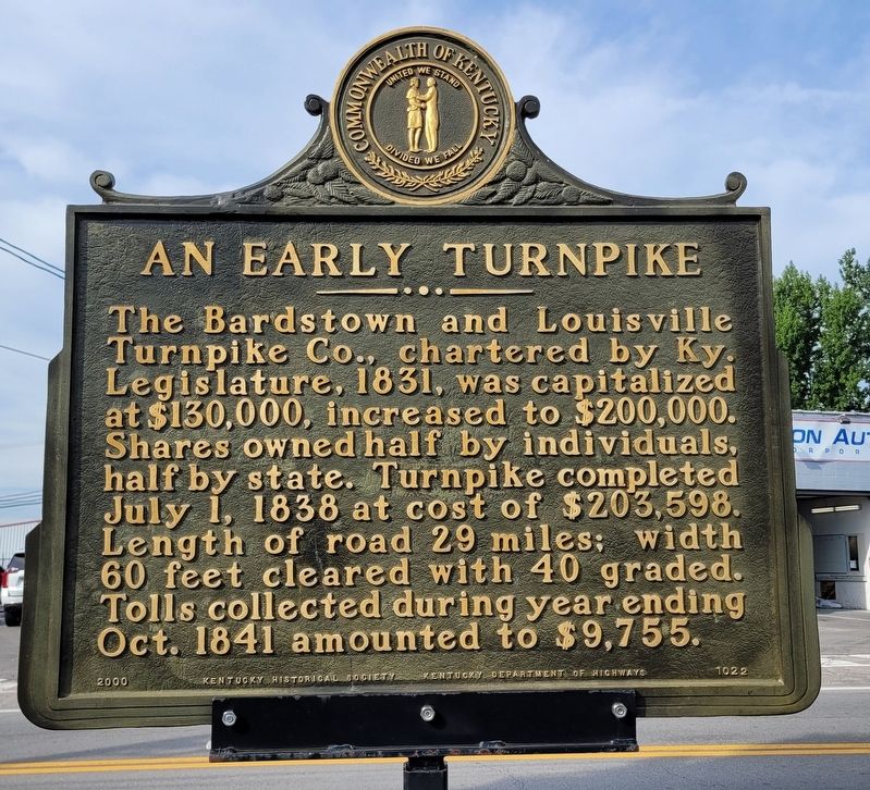
An Early Turnpike
The Bardstown and Louisville Turnpike Co., chartered by Ky. Legislature, 1831, was capitalized at $130,000, increased to $200,000. Shares owned half by individuals, half by state. Turnpike completed July 1, 1838 at cost of $203,598. Length of road 29 miles; width 60 feet cleared with 40 graded. Tolls collected during year ending Oct. 1841 amounted to $9,755.
Erected 2000 by Kentucky Historical Society and Kentucky Department of Highways. (Marker Number 1022.)
Topics. This historical marker is listed in this topic list: Roads & Vehicles. A significant historical date for this entry is July 1, 1838.
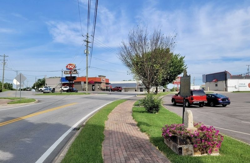
Location. 38° 2.995′ N, 85° 32.757′ W. Marker is in Mount Washington, Kentucky, in Bullitt County. Marker is on North Bardstown Road near Flatlick Road, on the right when traveling west. The marker is located in the parking lot of First Baptist Church of Mount Washington. Touch for map. Marker is at or near this postal address: 367 North Bardstown Road, Mount Washington KY 40047, United States of America. Touch for directions.
Other nearby markers. At least 8 other markers are within 10 miles of this marker, measured as the crow flies. James M. Lloyd House (approx. 0.3 miles away); Cedar Creek Baptist Church (approx. 6.2 miles away); Jefferson County (Kentucky) Korean War Memorial (approx. 6.3 miles away); Pennsylvania Run Presbyterian Church and Cemetery (approx. 7 miles away); Fern Creek High School (approx. 7.8 miles away); Brooks' Spring / Westerfield Massacre (approx. 8.2 miles away); Brashear's Station (approx. 8.2 miles away); Joseph Hite Family Cemetery at Mansfield (approx. 9˝ miles away).
Also see . . .
1. Turnpike trust. Wikipedia
During the early 19th century the concept of the turnpike trust was adopted and adapted to manage roads within the British Empire (Ireland, Canada, Australia, New Zealand, India, and South Africa) and in the United States.(Submitted on August 19, 2022, by James Hulse of Medina, Texas.)
2. Milestone. Wikipedia
A milestone is a numbered marker placed on a route such as a road, railway line, canal or boundary. They can indicate the distance to towns, cities, and other places or landmarks; or they can give their position on the route relative to some datum location. On roads they are typically located at the side or in a median or central reservation. They are alternatively known as mile markers, mileposts or mile posts.(Submitted on August 19, 2022, by James Hulse of Medina, Texas.)
3. Along the Backroads. (Submitted on November 3, 2022, by Troy Beam of Shepherdsville, Kentucky.)
Credits. This page was last revised on December 12, 2022. It was originally submitted on August 19, 2022, by James Hulse of Medina, Texas. This page has been viewed 140 times since then and 15 times this year. Photos: 1, 2, 3, 4, 5. submitted on August 19, 2022, by James Hulse of Medina, Texas.
