Near Brooks in Jefferson County, Kentucky — The American South (East South Central)
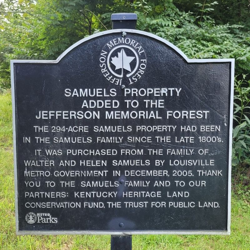
Samuels Property Added to the Jefferson Memorial Forest
Inscription.
The 294-acre Samuels property had been in the Samuels family since the late 1800's.
It was purchased from the family of Walter and Helen Samuels by Louisville Metro government in December, 2005. Thank you to the Samuels family and to our partners: Kentucky Heritage Land Conservation Fund, the Trust for Public Land.
Erected by Louisville Metro Parks.
Topics. This historical marker is listed in this topic list: Parks & Recreational Areas. A significant historical month for this entry is December 2005.
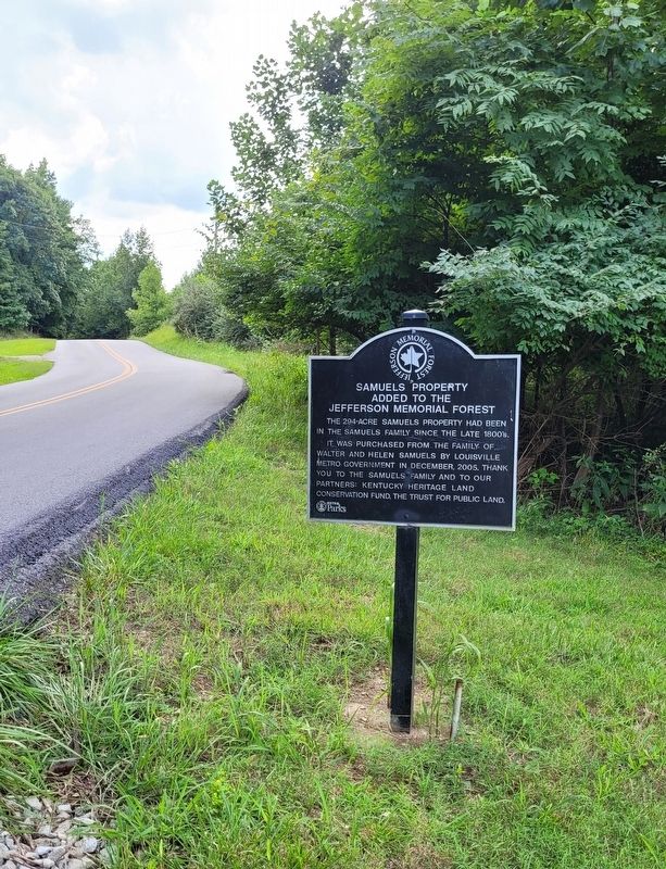
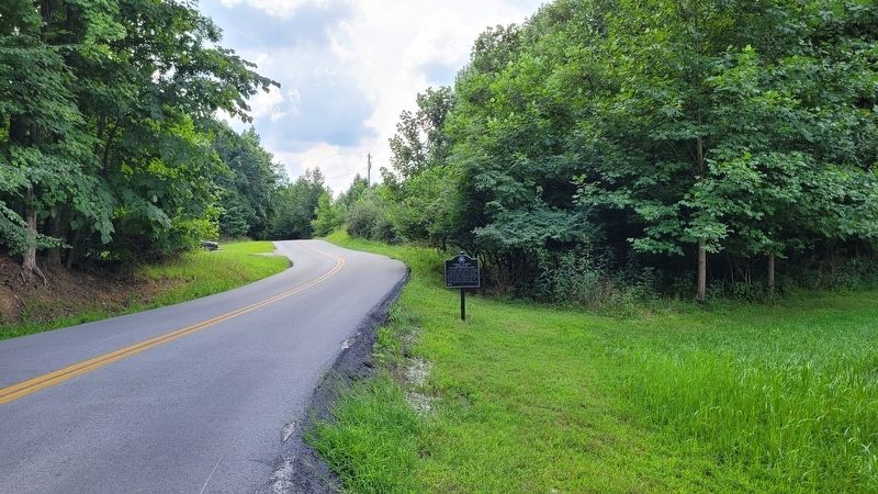
Location. 38° 4.009′ N, 85° 46.804′ W. Marker is near Brooks, Kentucky, in Jefferson County. Marker is on Knob Creek Road, one mile south of Top Hill Road, on the right when traveling south. The marker is located on the west side of the road near the large water tower. Touch for map. Marker is in this post office area: Brooks KY 40109, United States of America. Touch for directions.
Other nearby markers. At least 8 other markers are within 7 miles of this marker, measured as the crow flies. Lewis and Clark in Kentucky Field Brothers (approx. 1˝ miles away); Rosa Phillips Stonestreet (approx. 4.2 miles away); Brooks' Spring / Westerfield Massacre (approx. 4.6 miles away); Bullitt's Lick (approx. 4.7 miles away); Fenley Family / Fenley Family Cemetery (approx. 5.2 miles away); St. Andrew's Catholic Church / Early Catholic Church (approx. 5.7 miles away); Kenwood Drive-In (approx. 6.2 miles away); Wisertown / St. Andrew's Church Road (approx. 6.3 miles away).
Credits. This page was last revised on August 19, 2022. It was originally submitted on August 19, 2022, by James Hulse of Medina, Texas. This page has been viewed 117 times since then and 28 times this year. Photos: 1, 2, 3. submitted on August 19, 2022, by James Hulse of Medina, Texas.


