Southwest Waterfront in Southwest Washington in Washington, District of Columbia — The American Northeast (Mid-Atlantic)
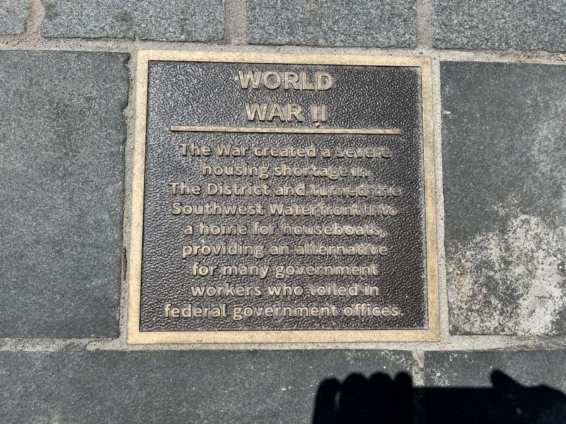
World War II
Topics. This historical marker is listed in these topic lists: Government & Politics • Settlements & Settlers • War, World II • Waterways & Vessels.
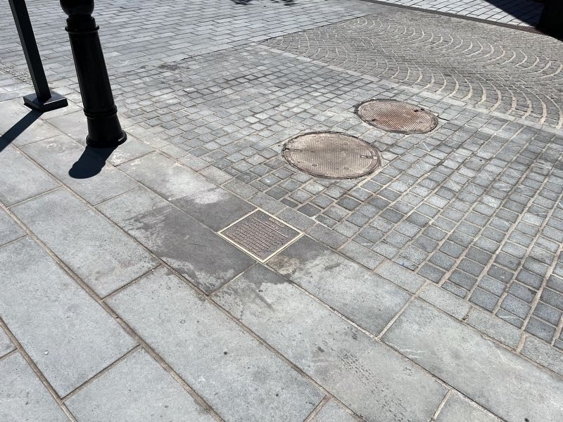
Location. 38° 52.611′ N, 77° 1.329′ W. Marker is in Southwest Washington in Washington, District of Columbia. It is in Southwest Waterfront. It is on Wharf Street Southwest west of Parker Row Southwest, on the left when traveling west. Touch for map. Marker is at or near this postal address: 604 Water St SW, Washington DC 20024, United States of America. Touch for directions.

Regionally, this marker is in the Washington Metropolitan Area. It is also in the American Northeast, in the Upper South, in the Mid-Atlantic, in the Tidewater, and in the Chesapeake Bay Region. Globally, it is in North America, the Western Hemisphere, the Western World, and the Anglosphere.
Other nearby markers. At
this page online
Another marker is no longer nearby. All Aboard! (was within shouting distance of this marker but has been permanently removed).
Credits. This page was last revised on January 30, 2023. It was originally submitted on August 20, 2022, by Devry Becker Jones of Washington, District of Columbia. This page has been viewed 209 times since then and 19 times this year. Photos: 1, 2. submitted on August 20, 2022, by Devry Becker Jones of Washington, District of Columbia.
