Gooseberry Falls State Park near Two Harbors in Lake County, Minnesota — The American Midwest (Upper Plains)
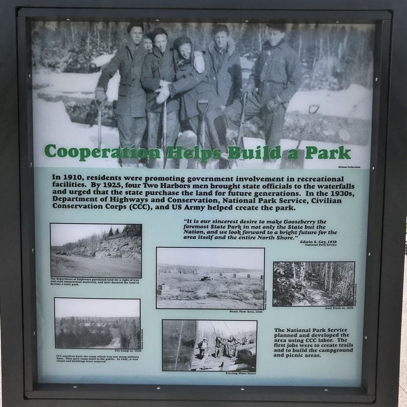
Cooperation Helps Build a Park
⎯⎯⎯
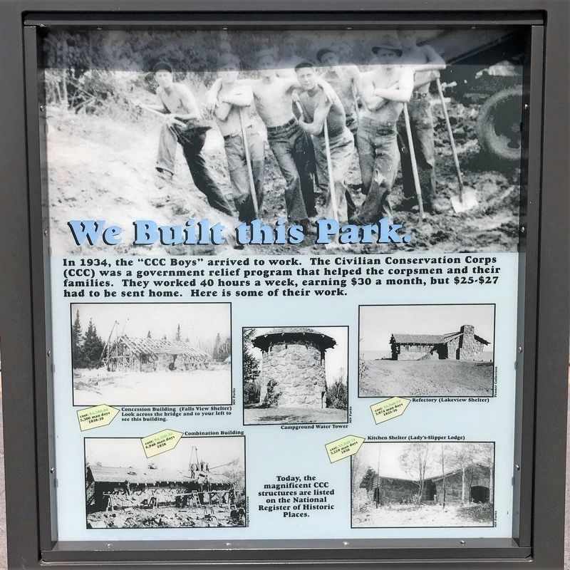
We Built this Park.
July 28, 2022
1. Cooperation Helps Build a Park Marker
"It is our sincerest desire to make Gooseberry the foremost State Park in not only the State but the Nation, and we look forward to a bright future for the area itself and the entire North Shore."
Edwin S. Cay, 1938
National Park Service
photographs:
The Department of Highways purchased land for a right-of-way and road construction materials, and later donated the land to become a state park.
Picnic Flow Area, 1936
Park Trails ca. 1936
CCC Camp ca. 1938
CCC enrollees built the camp which was run along military lines. They gave camp tours to the public. In 1941, it was closed and buildings were removed.
Erecting Water Tower
The National Park Service planned and developed the area using CCC labor. The
this page online
photographs:
Concession Building (Falls View Shelter)
Look across the bridge and to your left to see this building.
cost: $4,386.44
5,300 man days
1938-39
Campground Water Tower
Refectory (Lakeview Shelter)
cost: $2,049.72
3,874 man days
1935-36
Combination Building
cost: $4,350.32
6,946 man days
1938
Kitchen Shelter (Lady's-Slipper Lodge)
cost: $2,049.72
3,228 man days
1936
Today, the magnificent CCC structures are listed on the National Register of Historic Places.
Topics and series. This historical marker is listed in these topic lists: Charity & Public Work • Parks & Recreational Areas. In addition, it is included in the Civilian Conservation Corps (CCC) series list. A significant historical year for this entry is 1934.
Location. 47° 8.582′ N, 91° 28.13′ W.
July 28, 2022
2. We Built this Park. Marker

Regionally, this marker is in the Arrowhead Region, in the Iron Range, and in the North Shore. It is also in the American Midwest and in the Corn Belt. Globally, it is in North America, in the Great North Woods, on the Great Lakes, on Lake Superior’s North Shore, in the Western Hemisphere, in the Western World, and in the Anglosphere. Historically, it finds itself in what was once the Viceroyalty of New France, Rupert’s Land, the territory of the Mississippian Culture, and the Northwest Territory.
Other nearby markers. At least 8 other markers are within walking distance of this marker: Having Fun on the North Shore / Cruisin' on the Shore (here, next to this marker); Geology Complicates Bridge Foundation (a few steps from this marker); Building the Wall (within shouting distance of this marker);
July 28, 2022
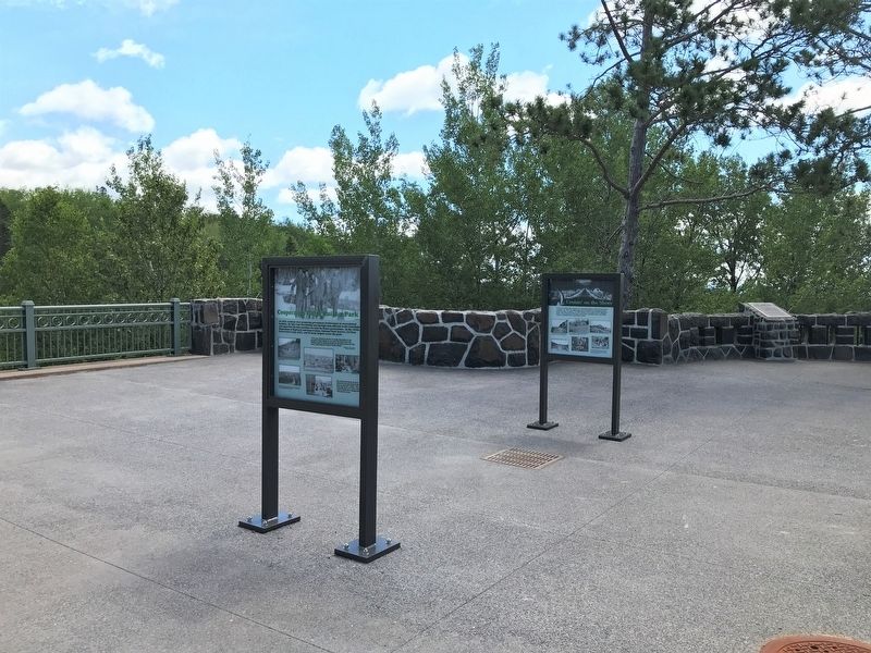
3. Cooperation Helps Build a Park / We Built this Park. Marker (left)
July 28, 2022
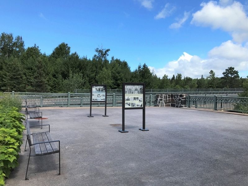
4. Cooperation Helps Build a Park / We Built this Park. Marker (left)
Credits. This page was last revised on April 4, 2025. It was originally submitted on August 21, 2022. This page has been viewed 233 times since then and 22 times this year. Photos: 1, 2, 3, 4. submitted on August 21, 2022.
