Parkers Crossroads in Henderson County, Tennessee — The American South (East South Central)
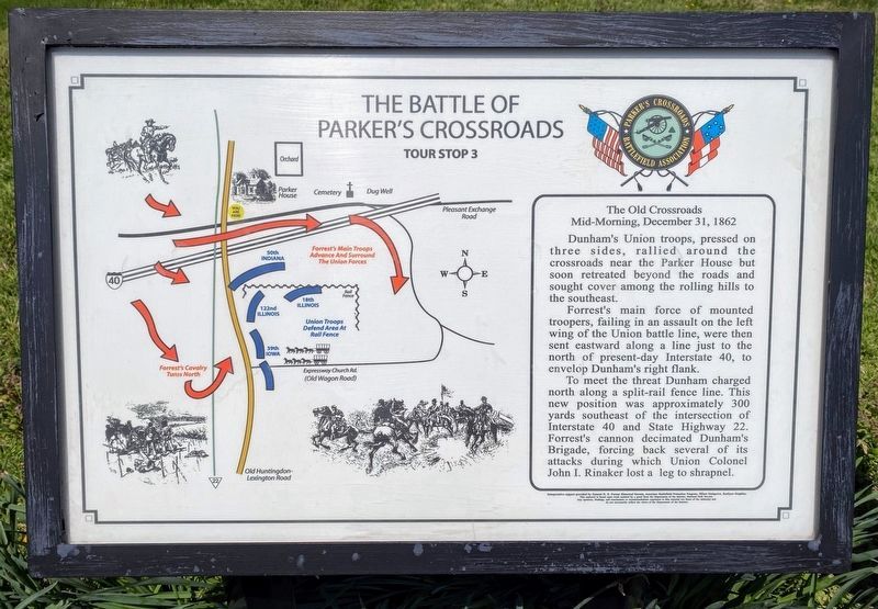
The Battle of Parker's Crossroads
Tour Stop 3
Mid-Morning, December 31, 1862
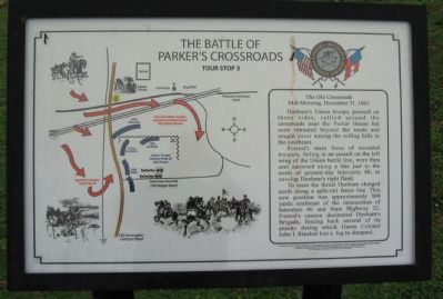
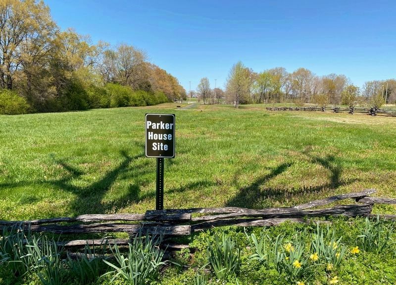
Dunham's Union troops, pressured on three sides, rallied around the crossroads near the Parker House but soon retreated beyond the roads and sought cover among the rolling hills to the southeast.
Forrest's main force of mounted troopers, failing in an assault on the left wing of the Union battle line, were then sent eastward along a line just to the north of present-day Interstate 40, to envelop Dunham's right flank.
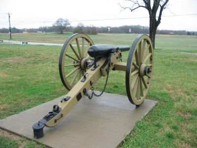
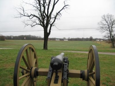
To meet the threat Dunham charged north along a split-rail fence line. This new position was approximately 300 yards southeast of the intersection of Interstate 40 and State Highway 22. Forrest's cannon decimated Dunham's Brigade, forcing back several of its attacks during which Union Colonel John I. Rinaker lost a leg to shrapnel.
Erected by Parkers Crossroads Battlefield Association.
Topics. This historical marker is listed in this topic list: War, US Civil. A significant historical date for this entry is December 31, 1862.
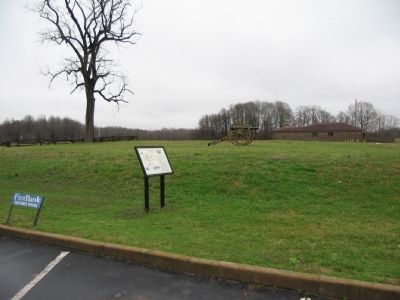
Location. 35° 47.626′ N, 88° 23.408′ W. Marker is in Parkers Crossroads, Tennessee, in Henderson County. Marker is on Wildersville Road, on the right when traveling west. Located at stop three, of the driving tour of Parkers Crossroads Battlefield. The marker is next to the First Bank parking lot. Touch for map. Marker is at or near this postal address: 84 Wildersville Road, Wildersville TN 38388, United States of America. Touch for directions.
Other nearby markers. At least 8 other markers are within walking distance of this marker. Parker's Cross Roads (about 400 feet away, measured in a direct line); "Give 'Em Hell" (about 400 feet away); Prelude to Battle/December 31, 1862—the Battle/Union and Confederate Forces (about 600 feet away); The Battle Begins (about 600 feet away); Civil War Artillery (about 600 feet away); Fuller's Assault (about 600 feet away); "Charge Them Both Ways" (about 700 feet away); Dunham's Artillery is Forced to Withdraw (about 700 feet away). Touch for a list and map of all markers in Parkers Crossroads.
Also see . . .
1. Parkers Crossroads Battlefield Association. Association website homepage (Submitted on July 2, 2009, by Craig Swain of Leesburg, Virginia.)
2. Parkers Crossroads. Civil War Preservation Trust site detailing the battle. (Submitted on July 2, 2009, by Craig Swain of Leesburg, Virginia.)
Credits. This page was last revised on February 13, 2022. It was originally submitted on July 2, 2009, by Craig Swain of Leesburg, Virginia. This page has been viewed 1,289 times since then and 18 times this year. Photos: 1. submitted on May 28, 2021, by Shane Oliver of Richmond, Virginia. 2. submitted on July 2, 2009, by Craig Swain of Leesburg, Virginia. 3. submitted on May 28, 2021, by Shane Oliver of Richmond, Virginia. 4, 5, 6. submitted on July 2, 2009, by Craig Swain of Leesburg, Virginia.
