Ector in Fannin County, Texas — The American South (West South Central)
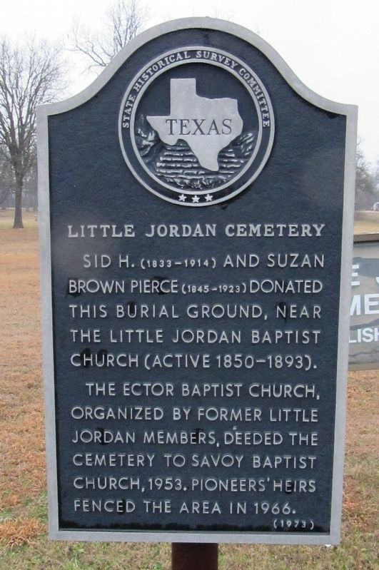
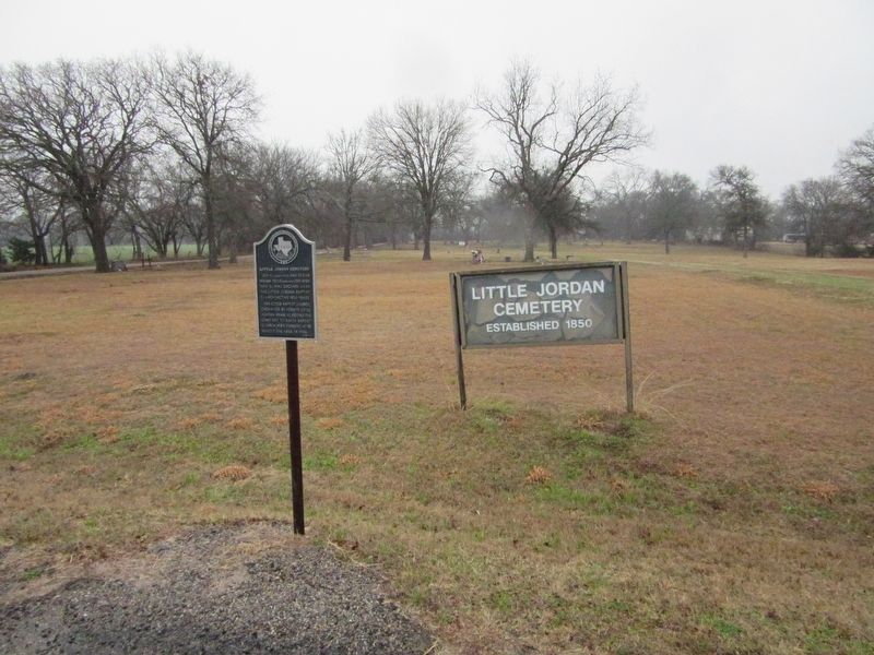
Little Jordan Cemetery
Sid H. (1833-1914) and Suzan Brown Pierce (1845-1923) donated this burial ground, near the Little Jordan Baptist Church (active 1850-1893).
The Ector Baptist Church, organized by former Little Jordan members, deeded the cemetery to Savoy Baptist Church, 1953. Pioneers' heirs fenced the area in 1966.
Erected 1973 by State Historical Survey Committee. (Marker Number 8910.)
Topics. This historical marker is listed in this topic list: Cemeteries & Burial Sites. A significant historical year for this entry is 1850.
Location. 33° 35.113′ N, 96° 18.812′ W. Marker is in Ector, Texas, in Fannin County. Marker is on State Highway 56 east of Local Highway 1251, on the right when traveling west. Touch for map. Marker is in this post office area: Savoy TX 75479, United States of America. Touch for directions.
Other nearby markers. At least 8 other markers are within 7 miles of this marker, measured as the crow flies. Fort Warren (approx. 2.3 miles away); Ector Lodge No. 687, A. F. & A. M. (approx. 2.4 miles away); Savoy Methodist Church (approx. 3.1 miles away); Greenwood Cemetery (approx. 4˝ miles away); First Baptist Church of Bells (approx. 5.8 miles away); Congressman Sam Rayburn (approx. 6.2 miles away); Sam Rayburn House (approx. 6.2 miles away); Dr. Tom Douglas Spies (approx. 6.7 miles away).
Credits. This page was last revised on September 6, 2022. It was originally submitted on August 21, 2022, by Jason Armstrong of Talihina, Oklahoma. This page has been viewed 86 times since then and 14 times this year. Photos: 1, 2, 3. submitted on August 21, 2022, by Jason Armstrong of Talihina, Oklahoma. • J. Makali Bruton was the editor who published this page.


