Near Bells in Grayson County, Texas — The American South (West South Central)
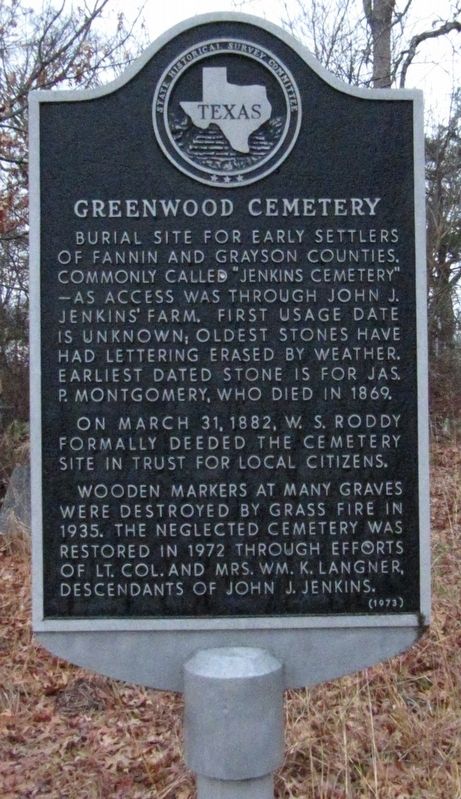
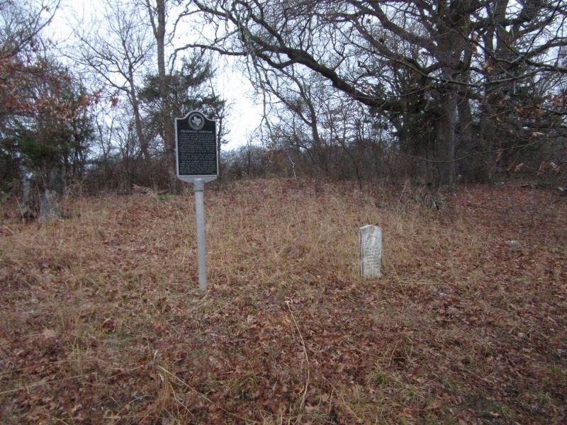
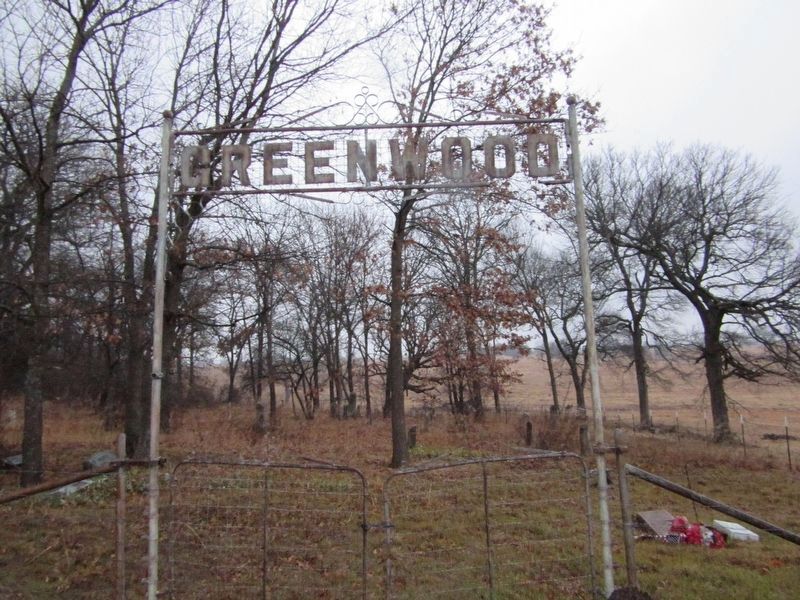
Greenwood Cemetery
On March 31, 1882, W. S. Roddy formally deeded the cemetery site in trust for local citizens.
Wooden markers at many graves were destroyed by grass fire in 1935. The neglected cemetery was restored in 1972 through efforts of Lt. Col. and Mrs. Wm. K. Langner, descendants of John J. Jenkins.
Erected 1973 by State Historical Survey Committee. (Marker Number 7378.)
Topics. This historical marker is listed in these topic lists: Cemeteries & Burial Sites • Settlements & Settlers. A significant historical year for this entry is 1869.
Location. 33° 35.572′ N, 96° 23.417′ W. Marker is near Bells, Texas, in Grayson County. Marker can be reached from Eastline Road, 0.3 miles south of Lovers Lane, on the right when traveling south. Turn right onto a driveway to reach the cemetery. Touch for map. Marker is at or near this postal address: 269 Eastline Rd, Bells TX 75414, United States of America. Touch for directions.
Other nearby markers. At least 8 other markers are within 11 miles of this marker, measured as the crow flies. Savoy Methodist Church (approx. 1˝ miles away); First Baptist Church of Bells (approx. 1.6 miles away); Fort Warren (approx. 2.2 miles away); Little Jordan Cemetery (approx. 4˝ miles away); Ector Lodge No. 687, A. F. & A. M. (approx. 6.8 miles away); Congressman Sam Rayburn (approx. 10.6 miles away); Sam Rayburn House (approx. 10.6 miles away); Lindsey-Randolph Cemetery (approx. 10.7 miles away).
Credits. This page was last revised on April 28, 2023. It was originally submitted on August 21, 2022, by Jason Armstrong of Talihina, Oklahoma. This page has been viewed 142 times since then and 25 times this year. Photos: 1, 2, 3, 4. submitted on August 21, 2022, by Jason Armstrong of Talihina, Oklahoma. • Bernard Fisher was the editor who published this page.


