Dallas in Paulding County, Georgia — The American South (South Atlantic)
Davis’ Div. at Dallas
Photographed by Chris Noggle, October 26, 2026
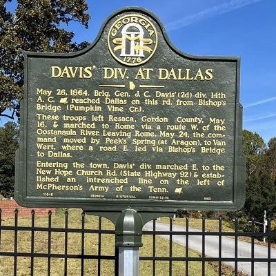
1. Davis' Div. at Dallas Marker
These troops left Resaca, Gordon County, May 16, & marched to Rome via a route west of the Oostanaula River. Leaving Rome, May 24, the command moved by Peek’s Spring (at Aragon), to Van Wert, where a road east led via Bishop’s Bridge to Dallas.
Entering the town, Davis’ div. marched east to the New Hope Church Road (State Highway 92) & established an intrenched line on the left of McPherson’s Army of the Tenn. [US].
Erected 1953 by Georgia Historical Commission. (Marker Number 110-8.)
Topics and series. This historical marker is listed in this topic list: War, US Civil. In addition, it is included in the Georgia Historical Society series list. A significant historical date for this entry is May 26, 1947.
Location. 33° 55.904′ N, 84° 50.631′ W. Marker is in Dallas, Georgia, in Paulding County. It is on Confederate Avenue (Georgia Route 61) just south of Kirk Drive, on the right when traveling south. It is at the entrance to the Dallas Memorial Gardens cemetery. Touch for map. Marker
this page online

Regionally, this marker is in the Piedmont and in Metro Atlanta. It is also in the American South and specifically in the Deep South. Globally, it is in North America, the Western Hemisphere, the Western World, and the Anglosphere. Historically, it finds itself in what was once the original Cherokee Nation, the territory of the Mississippian Culture, one of the original Thirteen Colonies, one of the Confederate States of America, and the Antebellum South.
Other nearby markers. At least 8 other markers are within 2 miles of this marker, measured as the crow flies: A. Lafayette Bartlett (approx. half a mile away); Paulding County (approx. 0.6 miles away); Bullock Plaza (approx. 0.6 miles away); Paulding County World War Dead (approx. 0.6 miles away); The City of Dallas, Georgia (approx. 0.6 miles away); Dallas - New Hope Line (approx. 0.7 miles away); Dallas (approx. 0.8 miles away); The Orphan Brigade at Dallas (approx. 1.2 miles away). Touch for a list and map of all markers in Dallas.
More about this marker. This marker
Photographed by Chris Noggle, October 26, 2026
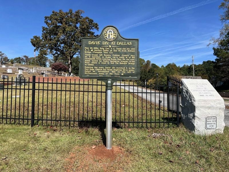
2. Davis' Div. at Dallas Marker
Photographed by Chris Noggle, October 26, 2026
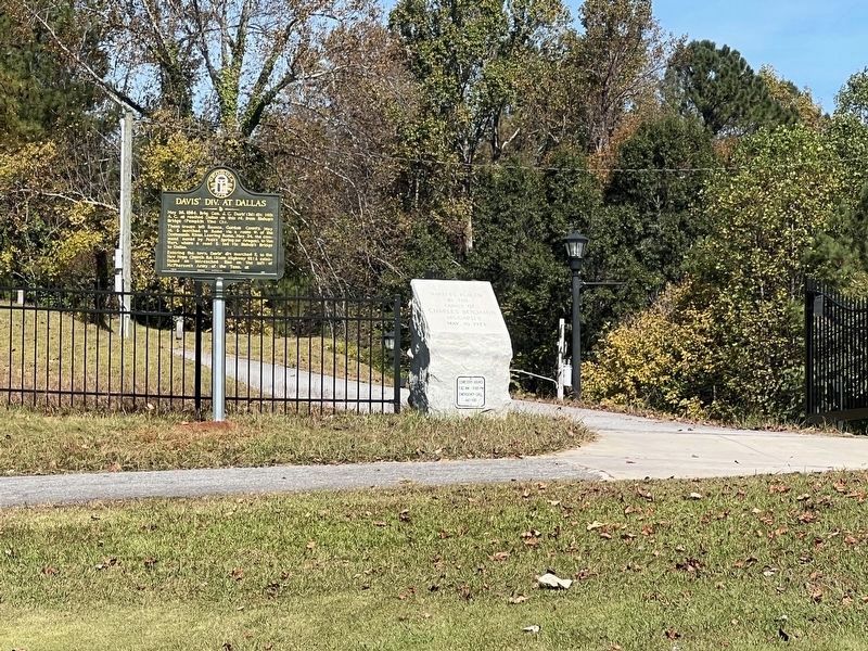
3. Davis' Div. at Dallas Marker
Photographed by J. J. Prats, October 26, 2026
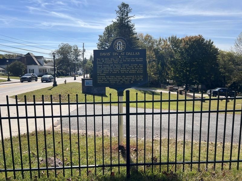
4. Davis' Div. at Dallas Marker - View from Inside the Fence

Photographed by David Seibert, June 14, 2009
5. Davis' Div. at Dallas Marker at its Original Location
Looking north on Confederate Avenue (Ga 61), with Polk Avenue to the left.

Photographed by David Seibert, June 14, 2009
6. Davis' Div. at Dallas Marker in its Original Colors
Credits. This page was last revised on November 2, 2026. It was originally submitted on July 2, 2009, by David Seibert of Sandy Springs, Georgia. This page has been viewed 1,628 times since then and 67 times this year. Photos: 1, 2, 3, 4. submitted on November 2, 2026, by J. J. Prats of Powell, Ohio. 5, 6. submitted on July 2, 2009, by David Seibert of Sandy Springs, Georgia. • Craig Swain was the editor who published this page.
Editor’s want-list for this marker. Check Dallas Memorial Gardens for this marker after Oct 2026, photograph it there, and follow FAQ No. 30. • Can you help?
