Near Zanesfield in Logan County, Ohio — The American Midwest (Great Lakes)
Wapatomica
The Original Marker
Inscription.
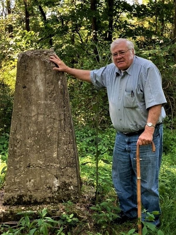
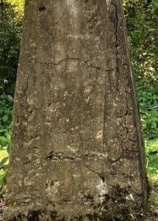
This monument marks the location of the stake where captives were burned. The circle was used for war, religious, and pleasure dances. Location of the council house. Simon Kenton ran the gauntlet here in 1778. This monument erected August 31, 1922.
Erected 1922.
Topics. This historical marker is listed in these topic lists: Native Americans • Settlements & Settlers • Wars, US Indian. A significant historical year for this entry is 1778.
Location. 40° 18.633′ N, 83° 42.347′ W. Marker is near Zanesfield, Ohio, in Logan County. Marker can be reached from the intersection of County Road 29 (County Route 29) and Old Sandusky Trail (County Route 5). Marker is on a remote wooded hilltop, on land owned by the State of Ohio , access is on an easement off Rd 29 (site is restricted by the Ohio History Center). Touch for map. Marker is at or near this postal address: 3410 County Rd 29, Bellefontaine OH 43311, United States of America. Touch for directions.
Other nearby markers. At least 8 other markers are within 3 miles of this marker, measured as the crow flies. A different marker also named Wapatomica (within shouting distance of this marker); a different marker also named Wapatomica (approx. ¼ mile away); Monroe Township School (approx. 1.8 miles away); Gunn's Tavern / Trading Post (approx. 2.3 miles away); In Memory of Isaac Zane (approx. 2.3 miles away); Gen. Simon Kenton (approx. 2.3 miles away); Pickrell UGRR Station (approx. 2.3 miles away); George Washington Rockwell (approx. 2.4 miles away). Touch for a list and map of all markers in Zanesfield.

Photographed By Jon Elzroth, August 17, 2022
2. Wapatomica Marker
full view of the 1922 monument, with Me for perspective. The 2010 monument is about 15 feet away. This marker is in the center of the "dance circle." Originally, a flag pole rose from this monument. A new flag pole has been installed between the two monuments.
Credits. This page was last revised on August 26, 2022. It was originally submitted on August 22, 2022, by Rev. Ronald Irick of West Liberty, Ohio. This page has been viewed 303 times since then and 55 times this year. Photos: 1, 2. submitted on August 22, 2022, by Rev. Ronald Irick of West Liberty, Ohio. • Bill Pfingsten was the editor who published this page.
