Marker Logo HMdb.org THE HISTORICAL
MARKER DATABASE
“Bite-Size Bits of Local, National, and Global History”
Near Luling in Caldwell County, Texas — The American South (West South Central)
 

Hall Cemetery


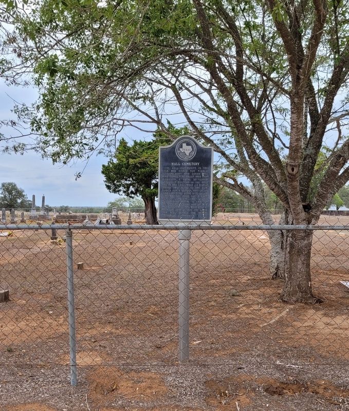
Hall Cemetery Marker image. Click for full size.
Photographed By James Hulse, August 21, 2022
1. Hall Cemetery Marker
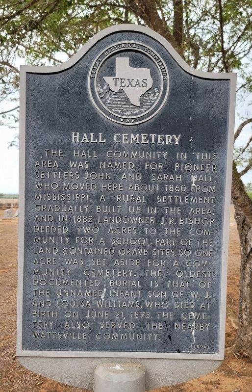
Inscription. The Hall Community in this area was named for pioneer settlers John and Sarah Hall, who moved here about 1860 from Mississippi. A rural settlement gradually built up in the area, and in 1882 landowner J.R. Bishop deeded two acres to the community for a school. Part of the land contained grave sites, so one acre was set aside for a community cemetery. The oldest documented burial is that of the unnamed infant son of W.J. and Louisa Williams. Who died at birth on June 21, 1873. The cemetery also served the nearby Wattsville community.
 
Erected 1994 by Texas Historical Commission. (Marker Number 9775.)
 
Topics. This historical marker is listed in this topic list: Cemeteries & Burial Sites. A significant historical date for this entry is June 21, 1873.
 
Location. 29° 44.567′ N, 97° 32.654′ W. Marker is near Luling, Texas, in Caldwell County. Marker is on Tenney Creek Road (County Highway 141) 0.1 miles west of Hall Road, on the right when traveling west. The marker is located at the front of the Hall Cemetery. Touch for map. Marker is at or near this postal address: 5697 Tenney Creek Road, Luling TX 78648, United States of America. Touch for directions.
 
Other nearby markers. At least 8 other markers are within 8 miles of this marker, measured as the crow flies. Wattsville Gin (approx. 1˝ miles away); McNeil Baptist Church (approx. 3.4 miles away); McNeil Cemetery
Paid Advertisement
Click on the ad for more information.
Please report objectionable advertising to the Editor.
Click or scan to see
this page online
(approx. 3.6 miles away); Clearfork Baptist Church (approx. 4.1 miles away); Theodore S. Lee (approx. 5.6 miles away); Harwood Methodist Church and Masonic Lodge (approx. 5.7 miles away); Harwood Cemetery (approx. 5.7 miles away); William Johnson Cabin (approx. 7.4 miles away). Touch for a list and map of all markers in Luling.
 
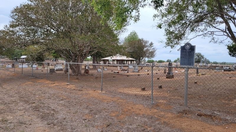
The Hall Cemetery and Marker image. Click for full size.
Photographed By James Hulse, August 21, 2022
2. The Hall Cemetery and Marker
The view of the Hall Cemetery and Marker from the street image. Click for full size.
Photographed By James Hulse, August 21, 2022
3. The view of the Hall Cemetery and Marker from the street
 
 
Credits. This page was last revised on August 23, 2022. It was originally submitted on August 23, 2022, by James Hulse of Medina, Texas. This page has been viewed 136 times since then and 28 times this year. Photos:   1, 2, 3. submitted on August 23, 2022, by James Hulse of Medina, Texas.
Share this page.  
Share on Tumblr
m=204636

CeraNet Cloud Computing sponsors the Historical Marker Database.
This website earns income from purchases you make after using our links to Amazon.com. We appreciate your support.
Paid Advertisement
Apr. 19, 2024